


Some error occured while loading the Quick View. Please close the Quick View and try reloading the page.
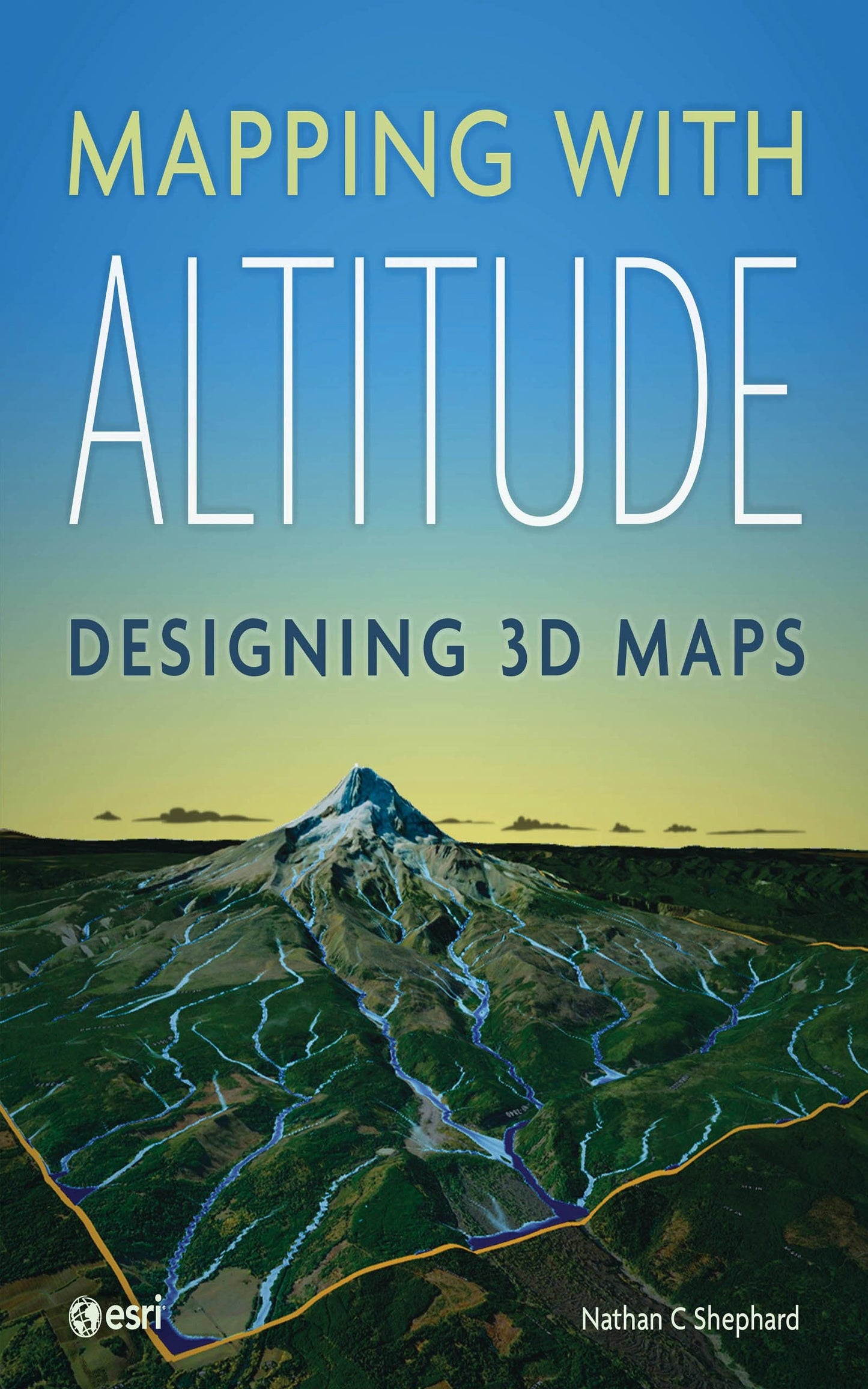
Add an extra dimension to your maps.
You live in a 3D world—your maps need to be 3D, too. Representing and reviewing data on maps in 3D lets you explore complex spatial relationships in new ways, allowing you to identify patterns and potential problems more effectively. But creating digital 3D maps that are accurate, intuitive, engaging, and easily navigable can seem daunting, even to experienced cartographers.
Mapping with Altitude: Designing 3D Maps helps you create clear, compelling cartographic representations in 3D that are both eye-catching and informative. Written by Esri senior product engineer and frequent Esri UC workshop presenter Nathan C Shephard, this book uses a fun and enthusiastic approach to explore the concepts, challenges, and opportunities in 3D cartography.
Using easy-to-understand workflows, this book:
- Shows
why some spatial content is best communicated in 3D.
Explains 3D mapping concepts, such as surfaces, base heights, texturing, and lighting models.
Introduces new twists on well-defined 2D cartographic principles, such as size, color, and text.
Demonstrates how the z-dimension can convey time.
Discusses the best delivery mechanism for your 3D content.
Mapping with Altitude focuses on the practical decisions and specific techniques you’ll use as you boldly enter the world of 3D map authoring in ArcGIS.


A world of 3D maps
Why 3D?
Anatomy of a 3D scene
Authoring for distance and scale
Delivery formats
Using surfaces
Displaying draped content
Displaying features: Geometry types, base-heights, and anchor points
Displaying features: Form, rotation, and scaling
Displaying features: Textures and materials
Displaying features: Animated symbols
Displaying text and labels
Displaying volumetric content
Temporal content in 3D
Configuring the scene
Exploring the scene
Afterword: Three-dimensional cartography call to action
Index