


Some error occured while loading the Quick View. Please close the Quick View and try reloading the page.
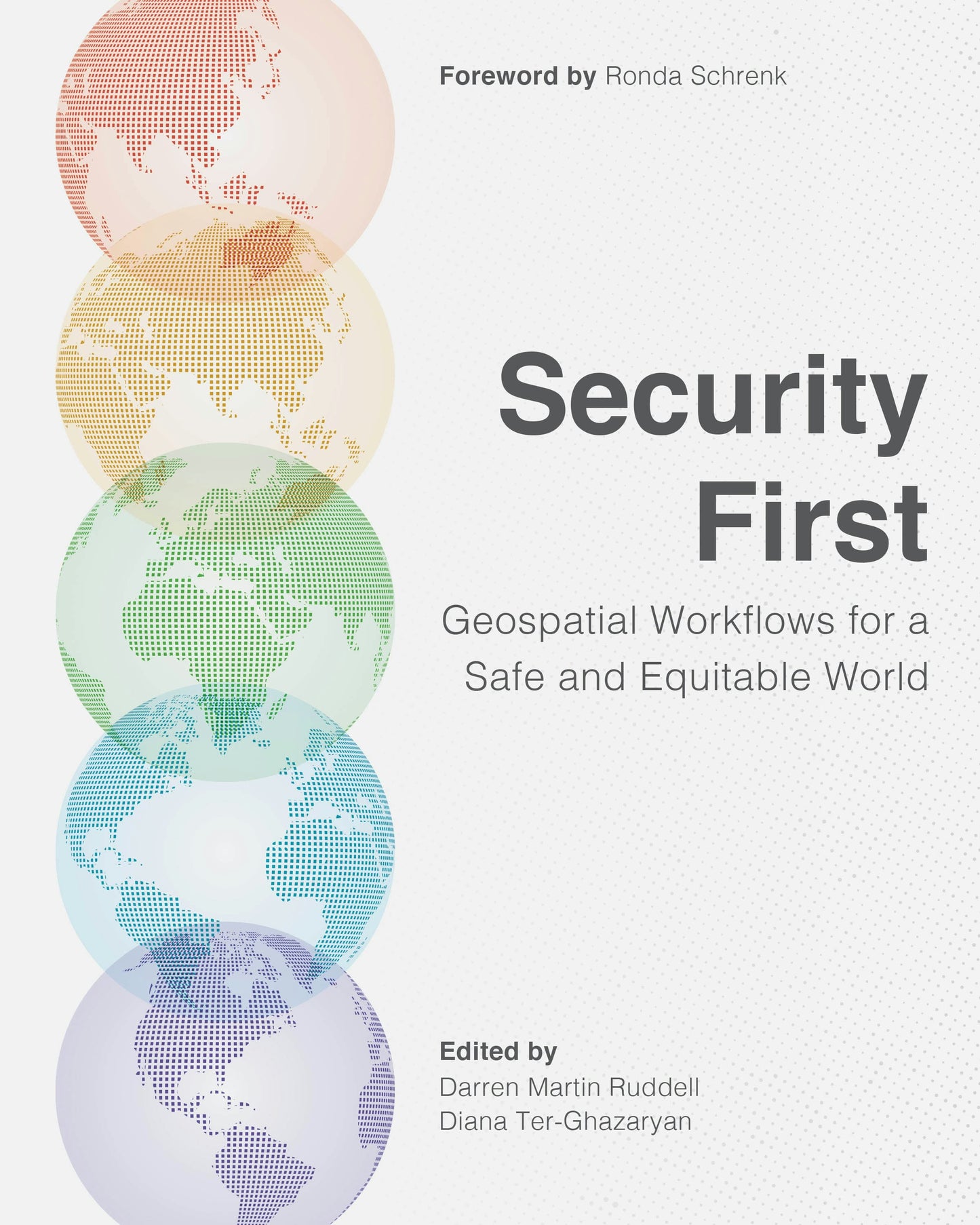
With the world facing immense challenges, how do we create a safer and more equitable world?
Geospatial intelligence offers valuable insights to help organizations and governments protect communities. By using technology to obtain location-based data, these groups can make spatially informed decisions about how best to help people who are most at risk. Learning the technical skills needed to use geographic information systems (GIS) to visualize and interpret this data has never been more essential for working to find resolutions for the numerous challenges humanity faces today.
Security First: Geospatial Workflows for a Safe and Equitable World guides readers through specific exercises and examples to show how GIS can be used to address significant world issues while building the technical skills required to work in the field of human security and geospatial intelligence.
Through 20 geospatial workflows, Security First covers a breadth of topics found in geospatial security, such as:
- human rights violations,
- vulnerability to flooding,
- concerns around illegal fishing,
- quantifying and mapping land use and land cover change,
- monitoring environmental justice, and
- emergency response and disaster management.
Each chapter is organized with learning objectives, technical requirements, prerequisite knowledge, a geospatial workflow, an analysis, and additional resources. All detailed exercises use ArcGIS software and downloadable data, helping to establish and reinforce the technical skills of readers. Users will also interpret their results and write an intelligence brief, requiring them to think critically about the result of their work. In helping to guide strategic decision-making, this manual will get readers on their way to incorporating GIS into their work for improved analysis and results.
Written for professors, students, and professionals, Security First is the first crowdsourced workbook in the growing field of human security and geospatial intelligence. Contributors and editors include academics teaching or studying human security and geospatial intelligence.
Get the technical and critical-thinking skills you need to work in human security and geospatial intelligence.


"Original, seminal, groundbreaking...essential and unreservedly recommended addition to personal, professional, community, and college/university library collections GIS & Public Policy collections and supplemental curriculum studies lists."
Foreword
Introduction
How to use this book
Part I: Disaster management
- Applying the US National Grid in emergency response by Justice Batiste, Joseph Cañas, and Tristan Pekron. Software: ArcGIS® Pro 3.4.
- Geospatial intelligence for disaster management: Lessons from Hurricane Dorian by Jacob Spear and Darren M. Ruddell. Software: ArcGIS Pro 3.4.
- Introduction to fire intelligence—wildfire by T. Monicque Lee. Software: ArcGIS Online.
- Creating facility outline graphics and gridded reference graphics at multiple spatial scales in ArcGIS AllSource by Jacob Spear. Software: ArcGIS AllSource™ 1.2.
- Mapping flooded urban areas from the Nova Kakhovka, Ukraine, dam destruction by Rúben Santiago and Sofia Henriques. Software: ArcGIS Pro 3.4.
Part II: Climate challenges
- Accelerating electric vehicle uptake: Locating charging stations in an urban context by Scott Kelley. Software: ArcGIS Pro 3.4.
- Object detection and segmentation of trees using TextSAM on ArcGIS Online by Yifan Yang and Dominic Borrelli. Software: ArcGIS Pro 3.4, ArcGIS Notebooks, ArcGIS Image.
- Estimating populations vulnerable to flood risk in Florida between 2001 and 2019 by Jinwen Xu and Levente Juhász. Software: ArcGIS Notebooks.
- Evaluating shoreline properties threatened with future sea level rise in coastal Florida by Jinwen Xu and Levente Juhász. Software: ArcGIS Notebooks.
Part III: Social justice and human rights
- Introduction to environmental justice monitoring: The case of air pollution in Los Angeles by Bita Minaravesh. Software: ArcGIS Online.
- Using geospatial information dashboards to visualize Multidimensional poverty by Sarbeswar Praharaj and Oumayma Moufid. Software: ArcGIS Pro 3.4 and ArcGIS Dashboards.
- Cultural impacts of the Russian war in Ukraine by Madeline Rouse. Software: ArcGIS Pro 3.4.
- Monitoring human rights violations using satellite remote sensing by Rebecca Bosworth and Yi Qi. Software: ArcGIS Pro 3.4.
Part IV: Safer seas
- Assessing illegal fishing and monitoring maritime activities with dashboards by Diana Ter-Ghazaryan and Bruce Vitor. Software: ArcGIS Online, ArcGIS Dashboards.
- Detecting ship encounters at sea with GIS by Ana Catarina Nunes and Marco Painho. Software: ArcGIS Pro 3.4.
Part V: Global security
- Aggression or defense? Assessing Russian intentions in the Arctic by Michael R. Pfonner and Darren Ruddell. Software: ArcGIS Pro 3.4.
- Activity-based intelligence (ABI) analysis: Geospatial-temporal analysis with big, diverse datasets by Patrick Kenney. Software: ArcGIS Pro 3.4.
- Quantifying and mapping land use and land cover change for HSGI by Amelie Y. Davis and Madeline A. Williams. Software: ArcGIS Pro 3.4.
- Predictive
military geography of Poland by
Logan Bolan and Nathan Kozlowski. Software: ArcGIS Pro 3.4, ArcGIS Online,
ArcGIS StoryMaps℠.
- Processing advanced sensor imagery in ArcGIS Drone2Map® for use in modeling and simulation intelligence activities by Steven Fleming, Jason Knowles, Will Forker, and Jonathan Hawes. Software: ArcGIS Online, ArcGIS Drone2Map 2024.2.