


Some error occured while loading the Quick View. Please close the Quick View and try reloading the page.
It's Time to Take a Hike in Pittsburgh!
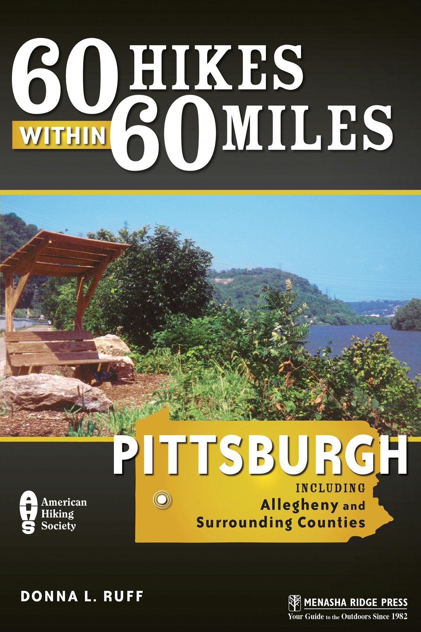
From a city of smokestacks to a city of culture, technology, and trees, Pittsburgh's revitalized city parks, abundant state parks, tranquil state forests, and enhanced riverfronts offer endless opportunities to hike and explore. Donna L. Ruff's 60 Hikes Within 60 Miles: Pittsburgh has something for explorers of every ability and interest. Diverse hikes include Frick Park, which can be combined with a visit to the Frick Art and Historical Center (free); Ohiopyle State Park, with views of the beautiful Youghiogheny River and Cucumber Falls; Beechwood Farms, where kids and adults can opt to participate in nature programs and walks; and Mt. Davis Natural Area, where hikers can stand on the highest point in Pennsylvania. History buffs will love Bushy Run and its museum and other historical site/hike combinations. Those seeking solitude will relish time spent walking in lovely Todd Sanctuary or one of the scenic and tranquil destinations of Forbes State Forest. Beautiful river, lake, waterfall, mountain, wildflower, and historical walks are all in your backyard. From the city's riverbanks to the Laurel Highland mountains of the south and southwest to the lakes and meadows of the north and northwest, every hiker will find trails to their liking in 60 Hikes within 60 Miles: Pittsburgh.


Overview Map
Acknowledgments
Foreword
About the Author
Preface
Hiking Recommendations
Introduction
Hikes
ALLEGHENY COUNTY
- Beechwood Farms Nature Reserve Loop
- Boyce Park Log Cabin Trail Expanded Loop
- Downtown Historic Walk
- Eliza Furnace Trail
- Fox Chapel Flower and Wildlife Reserve Loop
- Frick Park Tour Loop
- Gilfillan Trail Loop
- Harrison Hills Park: Rachel Carson Trail—Pond and River Overlooks Hikes
- Hartwood Acres Tour
- Highland Park Double Loop
- Montour Trail: Cliff Mine to Five Points
- Montour Trail: Panhandle Trail—Walkers Mill to Gregg Station
- North Park: Braille Trail Loop
- North Park: Nature Center Loop
- North Shore: River, Memorial, and Sports Walk
- Point State Park: History and Three Rivers Walk
- Riverview Park Loop
- Schenley Park Loop
- Settler’s Cabin Park: Creek and Flora Hike
- South Park Hike
- Three Rivers Heritage Trail: Monongahela South Shore
- Three Rivers Heritage Trail: Washington’s Landing Loop
- Townsend Park Loop
WESTMORELAND COUNTY
- Bushy Run History Loop
- Cedar Creek Park: Gorge Trail Loop
- Forbes State Forest: Laurel Summit—Spruce Flats Bog and Wildlife Area Loop
- Forbes State Forest: Laurel Summit—Wolf Rocks Overlook Loop
- Forbes State Forest: Laurel Summit Loop
- Forbes State Forest: Roaring Run Natural Area Loop
- Keystone State Park: Stone Lodge Trail
- Linn Run State Park: Grove Run Loop
- Powdermill Nature Reserve Tour
- Twin Lakes Park: Loop the Lakes
LAWRENCE, BEAVER, AND WASHINGTON COUNTIES
- McConnells Mill: Alpha Pass to Kildoo Loop
- McConnells Mill: Slippery Rock Gorge Trail
- Mingo Creek County Park Loop
- Raccoon Creek State Park: Lake-Forest Loop
- Raccoon Creek State Park: Wildflower Reserve Loop
BUTLER, ARMSTRONG, AND INDIANA COUNTIES
- Baker Trail: Crooked Creek Lake Area
- Blacklick Valley Natural Area: Parker Tract Hike
- Charles F. Lewis Natural Area: Rager Mountain Trail Loop
- Jennings Environmental Education Center Trail Loop
- Moraine State Park: North Shore Hike or Hike and Bike
- Moraine State Park: South Shore Trails Loop
- Todd Sanctuary Loop
SOMERSET AND FAYETTE COUNTIES
- Bear Run Nature Reserve: Southeast Loop
- Forbes State Forest: Lick Hollow Interpretive Nature Trail
- Forbes State Forest: Lick Hollow Pine Knob Overlook Trail
- Forbes State Forest: Mount Davis Natural Area
- Forbes State Forest: Quebec Run Wild Area
- Fort Necessity Tour and Woods Walk
- Friendship Hill Tour and Hike
- Kooser State Park Loop
- Laurel Hill State Park: Hemlock Trail
- Laurel Hill State Park: Lake Trail
- Laurel Hill State Park: Pump House to Tram Road Trail
- Laurel Ridge State Park: Laurel Highlands Trail—PA 653 Access to Grindle Ridge
- Ohiopyle State Park: Cucumber Falls to Meadow Run Trail Loop
- Ohiopyle State Park: Ferncliff Natural Area Loop
- Ohiopyle State Park: Laurel Highlands Trail—Ohiopyle to First Shelter Area
Appendix A—Hiking Stores
Appendix B—Places to Buy Maps
Appendix C—Hiking Clubs
Index
Map Legend