


Some error occured while loading the Quick View. Please close the Quick View and try reloading the page.
Reveals the little known history of one of history’s most famous maps – and its maker
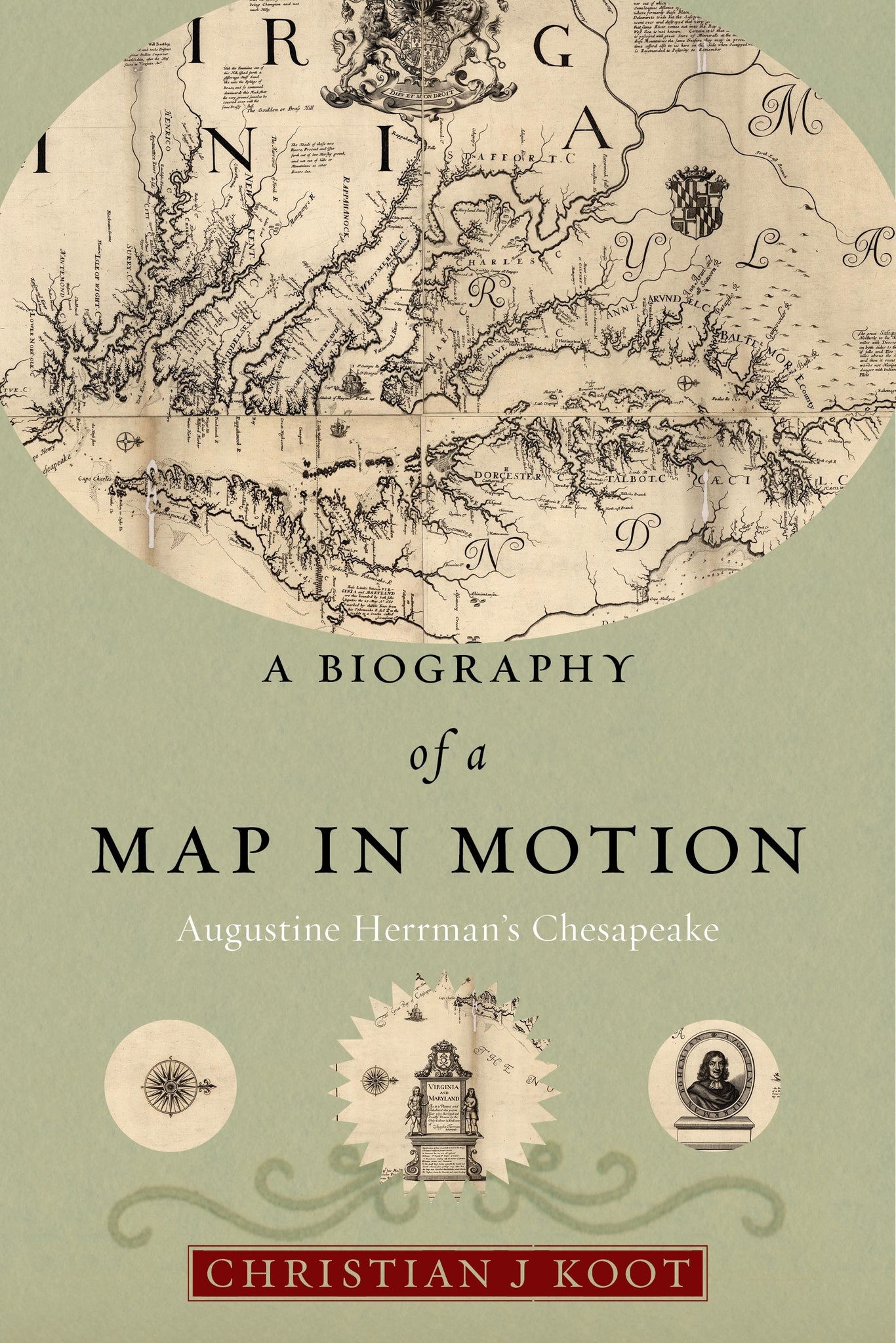
Tucked away in a near-forgotten collection, Virginia and Maryland as it is Planted and Inhabited is one of the most extraordinary maps of colonial British America. Created by a colonial merchant, planter, and diplomat named Augustine Herrman, the map pictures the Mid-Atlantic in breathtaking detail, capturing its waterways, coastlines, and communities. Herrman spent three decades travelling between Dutch New Amsterdam and the English Chesapeake before eventually settling in Maryland and making this map. Although the map has been reproduced widely, the history of how it became one of the most famous images of the Chesapeake has never been told.
A Biography of a Map in Motion uncovers the intertwined stories of the map and its maker, offering new insights into the creation of empire in North America. The book follows the map from the waterways of the Chesapeake to the workshops of London, where it was turned into a print and sold. Transported into coffee houses, private rooms, and government offices, Virginia and Maryland became an apparatus of empire that allowed English elites to imaginatively possess and accurately manage their Atlantic colonies.
Investigating this map offers the rare opportunity to recapture the complementary and occasionally conflicting forces that created the British Empire. From the colonial and the metropolitan to the economic and the political to the local and the Atlantic, this is a fascinating exploration of the many meanings of a map, and how what some saw as establishing a sense of local place could translate to forging an empire.


— Journal of Interdisciplinary History
The great strengths of A Biography of a Map in Motion are Koot’s assembly or reconstruction of every possible detail about this landmark map’s origin, his fitting those details into the complex but fascinating matrix of mid-Atlantic politics and commerce, and his highlighting the input of Lord Baltimore and his circle. It makes a fine tale, of mapmaking and also of statemaking. The excellent illustrations add to the book’s appeal.
— Portolan
Koot deftly navigates the complex interactions that made this map, illuminating the social ecology of that early modern region in a way that resonates with the present day.
— Winterhur Portfolio
By reclaiming the biographies of a single map and its maker, the Bohemian emigrant and New Netherland official Augustine Herrman, this book offers a fascinating as well as highly productive double-lens for taking a new measure of the interimperial world of seventeenth-century America. A meticulously researched history of the earliest phase of American mapmaking at heart, the books focus on the mapping culture surrounding the Chesapeake Bay area compellingly re-envisions a vibrant mid-Atlantic community that was intertwined by trade and a shared material culture in spite of national difference and conflict.
— Martin Brückner,University of Delaware, author, The Social Life of Maps in America, 1750-1860
Few now remember either the peripatetic seventeenth-century trader and planter Augustine Herrman or his once widely reproduced map of the Chesapeake region. Christian Koots dual biography of the man and his map rediscovers Dutch, English, and Native people struggling to understand their local places in a broader Atlantic world while at the same time powerful men in London grappled with the shape of an empire they barely comprehended. Combining imaginative detective work with unparalleled mastery of early modern cartographic methods, Biography of a Map in Motion is must-reading for those who want to understand the multicultural and global origins of North America.
— Daniel K. Richter,author of Before the Revolution: America's Ancient Pasts
This book is a delightfully informative exploration of Augustine Herrman's life and map, covering topics as varied as Dutch furniture, taking soundings seventeenth-century style, and the artistry involved in making copper-plate engravings. Koot adroitly recreates the map's context, production, and reception in an interconnected and interimperial Atlantic world.
— Rebecca Anne Goetz,Associate Professor of History, New York University
This pioneering book compares Dutch, English, and Colonial attempts to control the mid-Atlantic American colonies through the history of the making of one map. Readers learn about differing international visions of empire, explore colonial-imperial frictions, and witness Native American resistance through the story of Augustine Herrmans Virginia and Maryland map. I will never read a map the same way after finishing Koots book
— Sarah Hand Meacham,author, Every Home a Distillery: Alcohol, Gender, and Technology in the Colonial Chesapeake