


Some error occured while loading the Quick View. Please close the Quick View and try reloading the page.
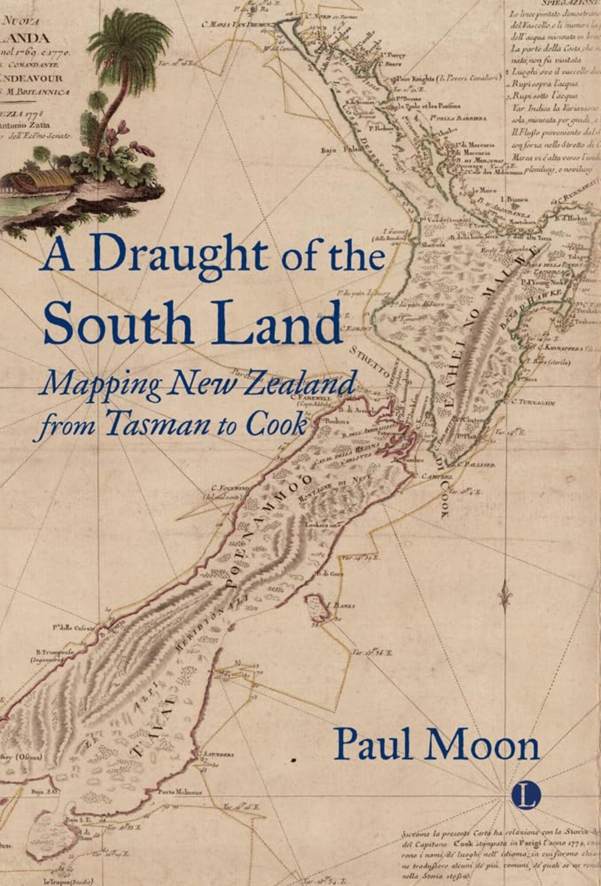
The first complete account of the various attempts to map New Zealand prior to 1773, spanning continents, peoples, empires and professions.
The story of how the map of New Zealand emerged is a fascinating one. The first full map of the islands was published in London in 1773, which might seem the natural starting point, but over the preceding 150 years, fragments of charts and intelligence about New Zealand ricocheted around various parts of the world. In A Draught of the South Land, Paul Moon provides the first comprehensive account of this piecemeal process.
Moon's investigation covers several continents over more than a century, and reveals the personalities, blunders, strategic miscalculations, scientific brilliance, and imperial power-plays that were involved. Above all, he examines the roles played by explorers and traders, Maori and European rulers, scientific societies and military groups, as well as specialist cartographers and publishers. At a time when maps as colonial tools, enablers of trade and objects of curiosity are being studied anew, his careful analysis and engaging narrative will be of interest to scholars everywhere.
The story of how the map of New Zealand emerged is a fascinating one. The first full map of the islands was published in London in 1773, which might seem the natural starting point, but over the preceding 150 years, fragments of charts and intelligence about New Zealand ricocheted around various parts of the world. In A Draught of the South Land, Paul Moon provides the first comprehensive account of this piecemeal process.
Moon's investigation covers several continents over more than a century, and reveals the personalities, blunders, strategic miscalculations, scientific brilliance, and imperial power-plays that were involved. Above all, he examines the roles played by explorers and traders, Maori and European rulers, scientific societies and military groups, as well as specialist cartographers and publishers. At a time when maps as colonial tools, enablers of trade and objects of curiosity are being studied anew, his careful analysis and engaging narrative will be of interest to scholars everywhere.

Price: $94.00
Pages: 240
Publisher: Boydell & Brewer Inc.
Imprint: Lutterworth Press
Publication Date:
28 September 2023
Trim Size: 5.98 X 8.98 in
ISBN: 9780718897215
Format: Hardcover
BISACs:
SOCIAL SCIENCE / Popular Culture, Popular culture, BUSINESS & ECONOMICS / General, HISTORY / General, HISTORY / Europe / Great Britain / General, Business and Management

This comprehensive, engaging study highlights how curiosity and ambition drove the pioneering navigational achievements of two brilliant seamen, alongside the development of cartography as a strategic resource, an economic opportunity, and an emblem of western control. Moon reveals how Tasman and Cook gave New Zealand a name and a shape on the global map, while also local documenting local peoples\rquote own methods of recording navigation, and their powerful sense of place.
— Andrew Lambert FKC, Laughton Professor of Naval History, Kings College London
The story of how our modern maps came to be is far more complicated and interesting than many suspect. Maps are the results of layers of knowledge, superimposed on one another; they are the results of political interest, editorial manipulation, courage, brutality and sympathy. Above all they are the result of cultures - often vastly different - colliding. Among all of these stories, that of the mapping of New Zealand is one of the finest, and here it is brilliantly told.
— Sam Willis, Naval Historian and Television Presenter
Paul Moon, who has been detailing the history of New Zealand Aotearoa for some years with a series of books, has now added to his oeuvre with one that neatly summarises the evolution of ideas about the location, size and shape of these islands from the theoretical ideas of sixteenth century European geographers to the charts produced by the likes of James Cook near the end of the eighteenth century.
— John Robson, Quondam Map Librarian, University of Waikato
Moon does not just dive into his topic; he sets the scene with chapters on the development of cartography, and one about the Dutch East India Company (known by the initials VOC from its Dutch name). Moon suggests that \ldblquote Exploration has always been an appetite that grows with the eating\rdblquote , as states and companies sought to discover opportunities for expansion or commerce. \ldblquote Maps\rdblquote , says Moon, \ldblquote did not just plot the course of Dutch commercial expansion\rdblquote . He notes that they led the way. The early history of the mapping of New Zealand is entwined with the history of the VOC.
— Larry Robins
Moon has produced a concise, thoroughly researched book with an extensive bibliography. Moreover, it is written in an accessible style that will appeal to general readers and scholars alike.
— Riaz Dean
— Andrew Lambert FKC, Laughton Professor of Naval History, Kings College London
The story of how our modern maps came to be is far more complicated and interesting than many suspect. Maps are the results of layers of knowledge, superimposed on one another; they are the results of political interest, editorial manipulation, courage, brutality and sympathy. Above all they are the result of cultures - often vastly different - colliding. Among all of these stories, that of the mapping of New Zealand is one of the finest, and here it is brilliantly told.
— Sam Willis, Naval Historian and Television Presenter
Paul Moon, who has been detailing the history of New Zealand Aotearoa for some years with a series of books, has now added to his oeuvre with one that neatly summarises the evolution of ideas about the location, size and shape of these islands from the theoretical ideas of sixteenth century European geographers to the charts produced by the likes of James Cook near the end of the eighteenth century.
— John Robson, Quondam Map Librarian, University of Waikato
Moon does not just dive into his topic; he sets the scene with chapters on the development of cartography, and one about the Dutch East India Company (known by the initials VOC from its Dutch name). Moon suggests that \ldblquote Exploration has always been an appetite that grows with the eating\rdblquote , as states and companies sought to discover opportunities for expansion or commerce. \ldblquote Maps\rdblquote , says Moon, \ldblquote did not just plot the course of Dutch commercial expansion\rdblquote . He notes that they led the way. The early history of the mapping of New Zealand is entwined with the history of the VOC.
— Larry Robins
Moon has produced a concise, thoroughly researched book with an extensive bibliography. Moreover, it is written in an accessible style that will appeal to general readers and scholars alike.
— Riaz Dean
List of Illustrations
Introduction
1. Cartography and the Age of Discovery
2. The VOC and Dutch Batavia
3. Abel Janszoon Tasman
4. 'The Intelligence Empire': Seventeenth-Century Dutch Exploration of the South Pacific
5. New Zealand on the Map
6. The Growth of Literacy and Mapmaking in England
7. 'To Add a Lustre to this Nation': Cook's Expedition
8. Mapping the East Coast of New Zealand
9. One or Two Islands Separated by a Strait?
10. North and South Islands Revealed
11. The End of Cook's First Journey to the Southern Hemisphere
12. Conclusion
Bibliography
Index
Introduction
1. Cartography and the Age of Discovery
2. The VOC and Dutch Batavia
3. Abel Janszoon Tasman
4. 'The Intelligence Empire': Seventeenth-Century Dutch Exploration of the South Pacific
5. New Zealand on the Map
6. The Growth of Literacy and Mapmaking in England
7. 'To Add a Lustre to this Nation': Cook's Expedition
8. Mapping the East Coast of New Zealand
9. One or Two Islands Separated by a Strait?
10. North and South Islands Revealed
11. The End of Cook's First Journey to the Southern Hemisphere
12. Conclusion
Bibliography
Index