


Some error occured while loading the Quick View. Please close the Quick View and try reloading the page.
Detailed creek and river profiles include:
- Topographic-based maps
- Shuttle directions
- Gauge locations
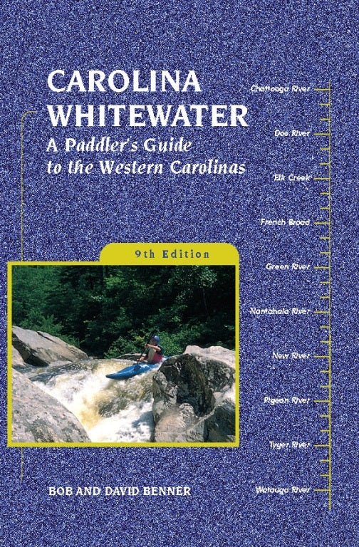
Kayakers and canoeists will find expanded and updated information for the classic rivers, like the Nolichucky, Nantahala, and French Broad, as well as for several new steep runs, such as Rockhouse Creek, Hurricane Creek, the Gragg Prong, and Big Hungry River. You’ll also get vital information on clubs and organizations, state water trails, and national and scenic rivers.
Waterway data for each run includes:
- Class of difficulty
- Length of the run
- Time to paddle
- Water level needed to paddle
- Permits required (if any)
- Gradient of each run
- Ratings for scenery
David and Bob Benner have been paddling the Carolinas for decades. David resides in Morganton, NC. Bob Benner is retired and also lives in Morganton.


- Acknowledgments
- Map Legend
- Introduction
- Carolina Overview
- Clubs and Organizations
- North Carolina Natural and Scenic Rivers
- State Water Trails
- Paddler Information
- Winter Canoeing
- Legal Rights of the Canoeist
- Safety
- Explanation of Terms
- Hiawassee and Little Tennessee Watershed
- Broad and French Broad River System and Watershed
- Watauga, New River, and Catawba Watershed
- Yadkin River Basin
- Nearby Rivers
- Flatwater Suitable for Canoe Camping
- Index