


Some error occured while loading the Quick View. Please close the Quick View and try reloading the page.
The mapping of the Netherlands East Indies was, first and foremost, meant to serve as an instrument for the government to keep its inhabitants under control and tap its resources. Only after 1900, in studies to alleviate poverty, did the colonial subjects' welfare become an item. However, even granted that mapping operations in the East Indies were principally motivated by colonialism, subjugation, and exploitation, the cartographic legacy of the Netherlands to independent Indonesia remains essential: at the time, it left the young Republic a comprehensive array of excellent hydrographic charts, up-to-date topographical maps of Java and other populous areas in the Archipelago, and sound educational material. Sadly, the dramatic transfer of power and sovereignty precluded an organised transfer of cartographic knowledge. Moreover, too few Indonesians were trained to take over, except perhaps in geological and volcanological mapping.
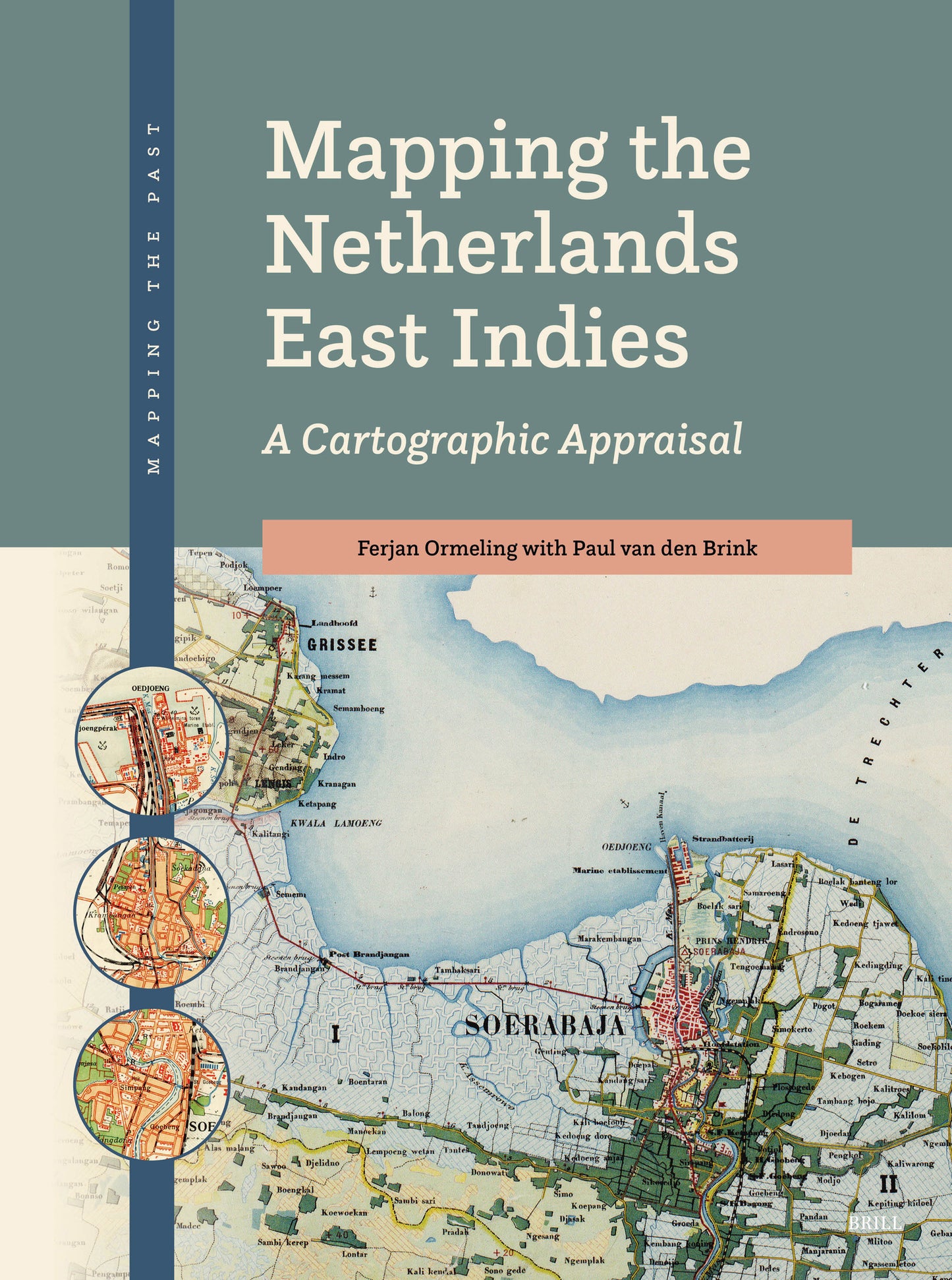
This book describes the efforts of cartographers to map and chart the Indonesian Archipelago between 1800 and 1962. Based on a broad overview and analysis of the available source materials and underlying texts, it aims to present the first comprehensive evaluation of post-VOC Dutch mapping against the backdrop of the colonial state (1800–1942) and the subsequent period of decolonisation (1942–1949/62). Although the common idea that cartography and maps, in many ways, were used as tools of power and oppression is endorsed, the approach is primarily descriptive and only critical as far as the cartographic representation is concerned. The book is meant to be a user guide that informs and differentiates, and may be valuable for anyone interested in Dutch mapping in Indonesia, providing a versatile overview of a largely unknown range of topographical and hydrographic maps.
You can read about Professor Ormeling's contributions to the field in the 'In Memoriam' published in Caert Thresoor 44.3 (2025).

Price: $298.00
Pages: 540
Publisher: Brill
Imprint: Brill
Series: Mapping the Past
Publication Date:
09 September 2026
ISBN: 9789004749795
Format: Hardcover

With honorary degrees from Eötvös Lorand Technical University (Budapest 2013) and Aristoteles University (Thessaloniki 2015), Dr F.J. (Ferjan) Ormeling (1942–2025) was a well-known cartographer who specialised in atlas cartography and toponymy at Utrecht University. He served the International Cartographic Association as secretary general in 1999–2007. Since 2003, he focused on the history of cartography of Indonesia. Part of his youth was spent at the premises of the Topographical Survey in Jakarta, where his father was director of the Geographical Institute. He regularly visited Indonesia from 1980 onwards and cooperated with scholars from Gadjah Mada University in Yogyakarta and Badan Informasi Geospasial in Cibinung. He organised toponymy courses worldwide on behalf of the United Nations Group of Experts on Geographical Names (UNGEGN).
Ferjan Ormeling read human geography, history, and cartography at Groningen and Utrecht Universities. As a member of the University of Amsterdam Explokart research team since 2007, his other historical focus was the development of thematic cartography of the Netherlands. From 2000 to 2021, he led the editorial board of the historical-cartographic journal Caert Thresoor. In 2005 he published Biografie van de Bosatlas, a history of the genesis of the major school atlas in the Netherlands.
Dr P.P.W.J. (Paul) van den Brink studied history at the Vrije Universiteit Amsterdam and was a university lecturer at the Historical Cartographic Research Programme Explokart of Utrecht University from 1986 to 2012. From 2013, Paul van den Brink has been a historical cartographer at the Faculty of Geosciences of Utrecht University. His research focuses on Dutch institutional cartography of the eighteenth and nineteenth centuries, the cartographic publications of the Royal Netherlands Geographical Society (KNAG), and the tourist and consumer cartography of the Netherlands and the Netherlands East Indies up to 1945. Among his acclaimed book publications in these fields is Dienstbare kaarten: een cartografische geschiedenis van het Koninklijk Nederlands Aardrijkskundig Genootschap en het Tijdschrift, 1873–1966 (2010), on the cartographic history of the KNAG and its periodical.