


Some error occured while loading the Quick View. Please close the Quick View and try reloading the page.
This is the last and final volume in the series Monumenta Cartographica Neerlandica. This serie is the result of the author's investigations, carried out during the past thirty years in numerous Dutch and foreign collections. In this way rare cartographic material is now more easily accessible. The work is monumental in every respect, and it is indispensable for private as well as public reference collections.
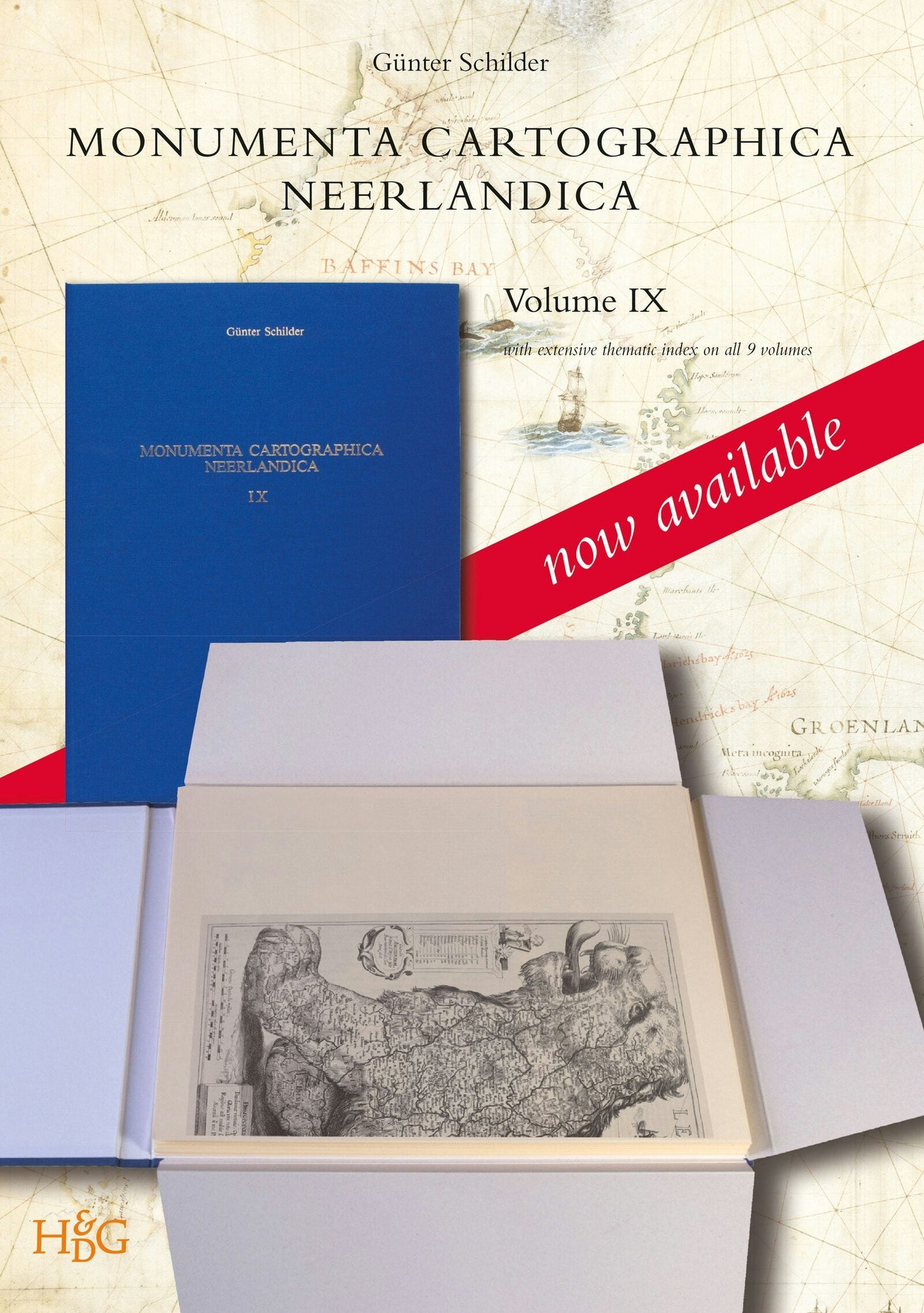
This volume focuses exclusively on the work of Hessel Gerritsz. (c. 1581-1632), who ranks among the most important and influential cartographers of the early-seventeenth-century Amsterdam. He started his career in Willem Jansz. Blaeu's workshop. About 1608 he established himself as an independent engraver, mapmaker and printer. A selection of his maps has been described and reproduced in full size and his position as chart-maker of the Dutch East and West India Company is discussed in detail.
To present an easier access to the whole series, a general index on names, maps and a dozen thematic subjects of all the nine volumes has been compiled. This index volume is included.

Price: $1,337.00
Pages: 1013
Publisher: Brill
Imprint: Brill
Series: Monumenta Cartographica Neerlandica
Publication Date:
01 December 2013
ISBN: 9789061946212
Format: Other

“The nine volumes of Monumenta Cartographica Neerlandica form a most impressive and truly monumental oeuvre on a library shelf, a fitting monument to Schilder himself for his untiring and dedicated contributions.”
Edward H. Dahl, Val-des-Monts, Québec, Canada. In: Imago Mundi, Vol.67, No. 2 (2015), pp. 242-243.
Edward H. Dahl, Val-des-Monts, Québec, Canada. In: Imago Mundi, Vol.67, No. 2 (2015), pp. 242-243.
Günter Schilder, born in Vienna (1942), studied geography and history at Vienna University, receiving a scholarship from the Netherlands Ministry of Education to carry out research in Dutch archives regarding the history of the exploration of Australia by the United East-India Company (VOC). After receiving his PhD he went on to become the assistant of Cornelis Koeman, Professor of Cartography at Utrecht University. In 1981 he was offered a personal Chair in the History of Cartography at Utrecht University, a position he continued until his retirement in 2007. One of Schilder’s greatest achievements is the creation of Explokart, a specialized research program now located at Amsterdam University, dedicated to researching cartographic documents of all kinds from previous centuries. He is co-author of Sailing for the East. History and catalogue of manuscript charts on vellum of the Dutch East India Company (VOC) 1602-1799.