


-

Top 20 essential skills for arcgis experience builder
Design and create visually stunning and highly functional map apps with Top 20 Essential Skills for ArcGIS Experience Builder.
Regular price $89.99Regular price $89.99 Sale price $89.99Unit price per -


Routing
Routing is the fundamental guide to using router trimmers and tables, including 16 projects suitable for all skill levels.Almost all tasks traditionally performed by standard routers can in fact be done using router trimmers, which are smaller, more maneuverable and cheaper. This comprehensive gu...
Read MoreRegular price $35.00Regular price $35.00 Sale price $35.00Unit price per -

Getting to know arcgis enterprise
The first book from Esri Press about ArcGIS Enterprise, one of Esri’s most important technologies for keeping your organization agile, collaborative, and responsive.
Regular price $99.99Regular price $99.99 Sale price $99.99Unit price per -

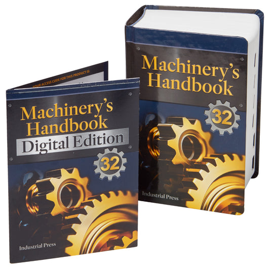
Machinery's handbook 32 digital edition
Since publication of the first edition more than 100 years ago, Machinery’s Handbook has been acclaimed as the most popular, bestselling engineering resource of all time. Universally considered the principal reference in the manufacturing, metalworking, and mechanical industries, the Handbook is...
Read MoreRegular price $174.95Regular price Sale price $174.95Unit price per -


Machinery's handbook & digital edition combo: large print
Since publication of the first edition more than 100 years ago, Machinery’s Handbook has been acclaimed as the most popular, bestselling engineering resource of all time. Universally considered the principal reference in the manufacturing, metalworking, and mechanical industries, the Handbook is...
Read MoreRegular price $274.95Regular price Sale price $274.95Unit price per -

Top 20 essential skills for arcgis utility network
Learn how to use ArcGIS Utility Network, the powerful software that handles the complexity of modern utility systems now and into the future.
Regular price $49.99Regular price $49.99 Sale price $49.99Unit price per -
Geoai
Discover how organizations are powering greater automation, prediction, and optimization with GeoAI.
Regular price $34.99Regular price $0.00 Sale price $34.99Unit price per -

Cartography.
Winner of the 2019 International Cartographic Conference – Educational Products award: A comprehensive, one-stop-shop cartography guide, Cartography. serves as a reference and an inspiration for anyone who is required to make a map, but it does so using a modern visual style.
Regular price $79.99Regular price $79.99 Sale price $79.99Unit price per -
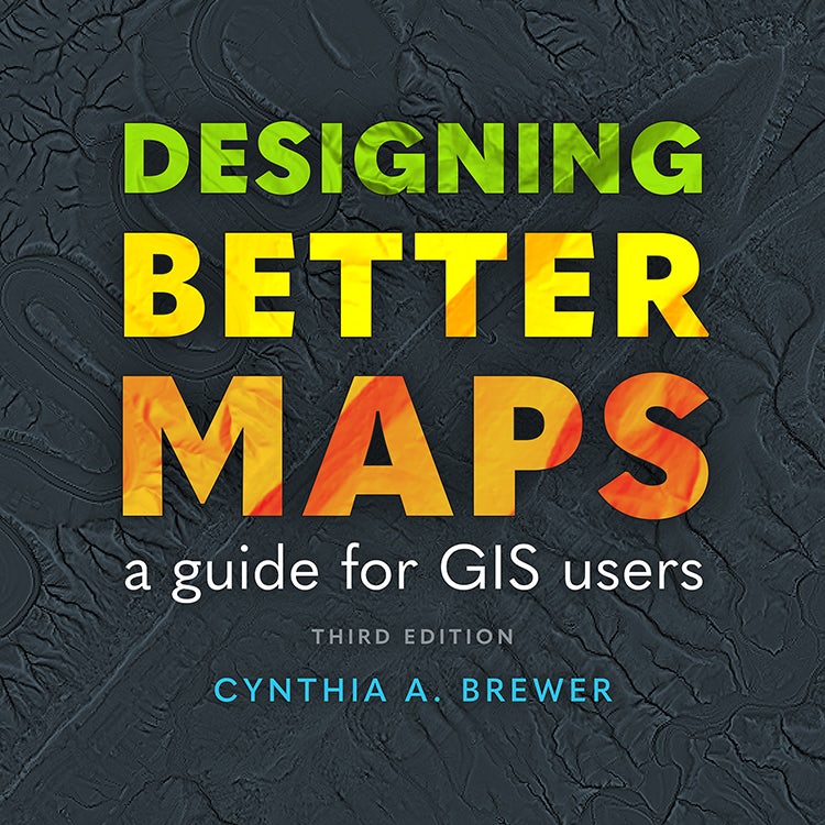
Designing better maps
Learn from the best to create successful maps using any GIS or illustration product with Designing Better Maps: A Guide for GIS Users, third edition, written by an expert cartographer.
Regular price $84.99Regular price $84.99 Sale price $84.99Unit price per -

Machinery's handbook & digital edition combo: toolbox
Since publication of the first edition more than 100 years ago, Machinery’s Handbook has been acclaimed as the most popular, bestselling engineering resource of all time. Universally considered the principal reference in the manufacturing, metalworking, and mechanical industries, the Handbook is...
Read MoreRegular price $249.95Regular price Sale price $249.95Unit price per -
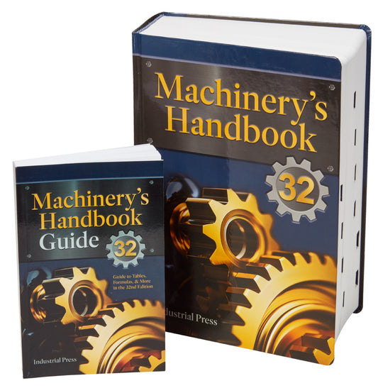

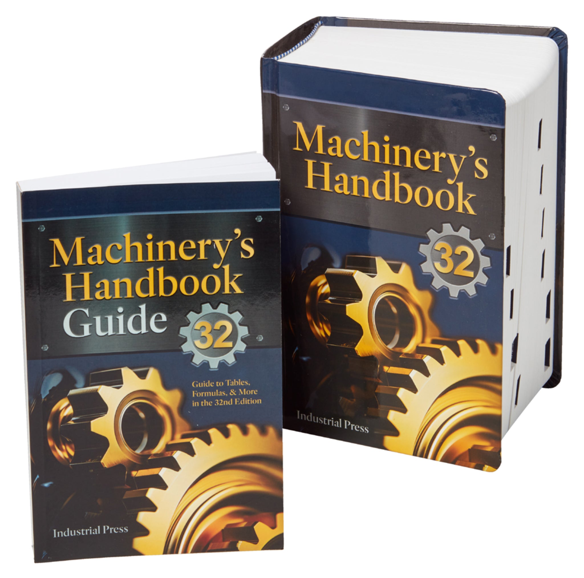
Machinery’s handbook & the guide combo: large print
Machinery’s Handbook is acknowledged as an exceptionally authoritative and comprehensive, yet highly practical, and easy-to-use tool. The 32nd edition of the “Bible of the Mechanical Industries” continues in this tradition, providing users with fundamental and essential aspects of manufacturing ...
Read MoreRegular price $224.95Regular price Sale price $224.95Unit price per -

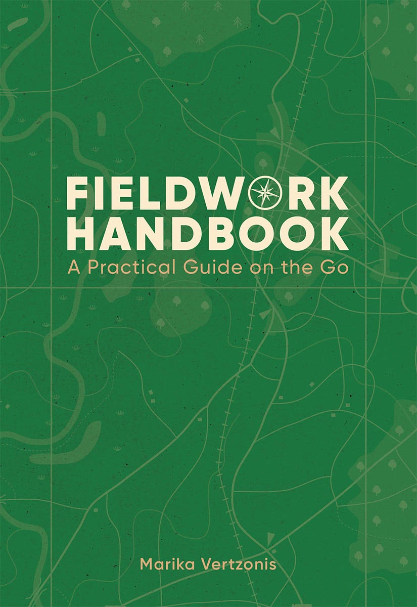
Fieldwork handbook
Fieldwork Handbook gives you tips, best practices and activities for using location intelligence in the field to make your work more productive and successful.
Regular price $39.99Regular price $39.99 Sale price $39.99Unit price per -


Robust process development and scientific molding
This book introduces the reader to the concepts of Scientific Molding and Scientific Processing for Injection Molding, geared towards developing a robust, repeatable, and reproducible (3Rs) molding process. It explains the underlying principles of polymer science: the properties that are importan...
Read MoreRegular price $179.99Regular price $179.99 Sale price $179.99Unit price per -


Mapping community health
Mapping Community Health: GIS for Health and Human Services explores a collection of real-life case studies about using geographic information system (GIS) technology to help build communities that improve health outcomes and increase accessibility to health care. The book also includes a “next s...
Read MoreRegular price $23.99Regular price $23.99 Sale price $23.99Unit price per -


Tactile mapping
A collaboration by skilled professionals, domain experts, and people with visual impairments, Tactile Mapping offers fresh insights into map design to make maps more accessible for people with visual impairments.
Regular price $54.99Regular price $0.00 Sale price $54.99Unit price per -


Security first
Security First: Geospatial Workflows for a Safe and Equitable World shows readers how to use geospatial tools and data to analyze complex issues.
Regular price $89.99Regular price $89.99 Sale price $89.99Unit price per -

Top 20 essential skills for imagery and remote sensing
Top 20 Essential Skills for Imagery and Remote Sensing guides readers step-by-step through interpreting imagery, creating imagery products, and performing various imagery analysis workflows.
Regular price $79.99Regular price $79.99 Sale price $79.99Unit price per -

Machinery's handbook & calc pro 2 combo: toolbox
Since publication of the first edition more than 100 years ago, Machinery’s Handbook has been acclaimed as the most popular, bestselling engineering resource of all time. Universally considered the principal reference in the manufacturing, metalworking, and mechanical industries, the Handbook is ...
Read MoreRegular price $224.95Regular price Sale price $224.95Unit price per -

Machinery's handbook 32 digital edition upgrade
Since publication of the first edition more than 100 years ago, Machinery’s Handbook has been acclaimed as the most popular, bestselling engineering resource of all time. Universally considered the principal reference in the manufacturing, metalworking, and mechanical industries, the Handbook is ...
Read MoreRegular price $89.95Regular price $0.00 Sale price $89.95Unit price per -


Machinery's handbook 32 digital edition
Since publication of the first edition more than 100 years ago, Machinery’s Handbook has been acclaimed as the most popular, bestselling engineering resource of all time. Universally considered the principal reference in the manufacturing, metalworking, and mechanical industries, the Handbook is...
Read MoreRegular price $174.95Regular price $0.00 Sale price $174.95Unit price per -

Machinery’s handbook 32nd edition & 4090 sheet metal / hvac pro calc calculator (set): toolbox
Since publication of the first edition more than 100 years ago, Machinery’s Handbook has been acclaimed as the most popular, bestselling engineering resource of all time. Universally considered the principal reference in the manufacturing, metalworking, and mechanical industries, the Handbook is...
Read MoreRegular price $199.95Regular price Sale price $199.95Unit price per -

Machinery’s handbook & the guide combo: toolbox
Machinery’s Handbook is acknowledged as an exceptionally authoritative and comprehensive, yet highly practical, and easy-to-use tool. The 32nd edition of the “Bible of the Mechanical Industries” continues in this tradition, providing users with fundamental and essential aspects of manufacturing ...
Read MoreRegular price $194.95Regular price Sale price $194.95Unit price per -
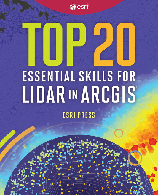
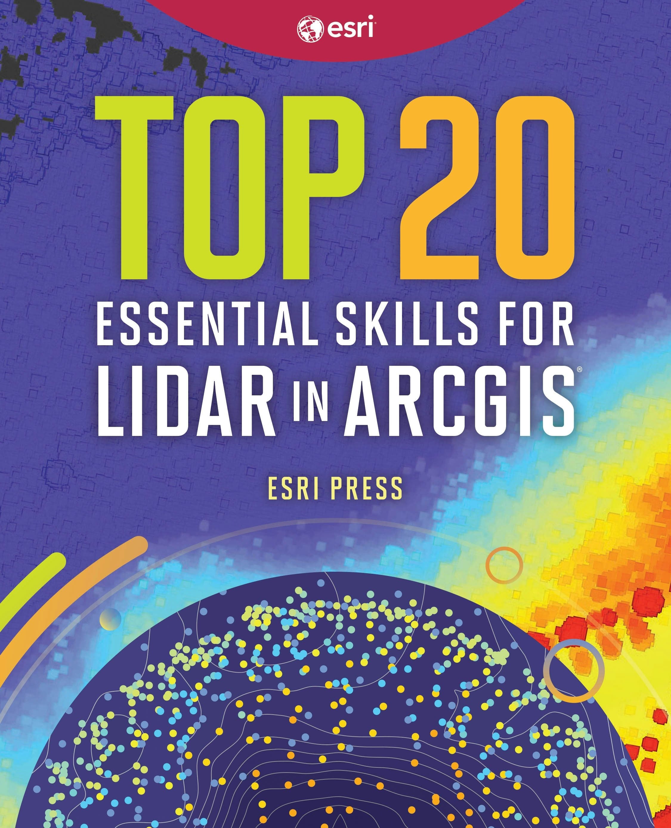
Top 20 essential skills for lidar in arcgis
With 20 step-by-step tutorials, Top 20 Essential Skills for Lidar helps you understand, manage, analyze, and create immersive 3D products using lidar data.
Regular price $59.99Regular price $59.99 Sale price $59.99Unit price per -

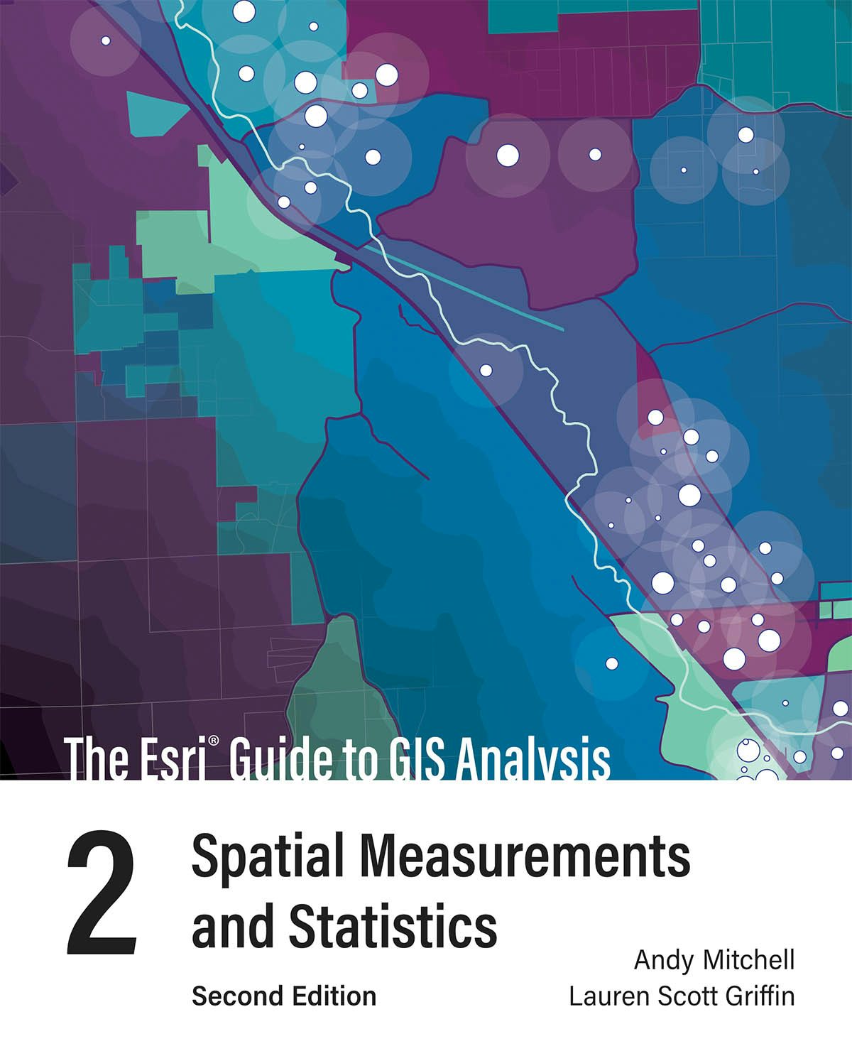
The esri guide to gis analysis, volume 2
See why you don't need to understand complex mathematical theories to apply statistical tools in your GIS projects in The Esri Guide to GIS Analysis, Volume 2: Spatial Measurements and Statistics.
Regular price $59.99Regular price $59.99 Sale price $59.99Unit price per -

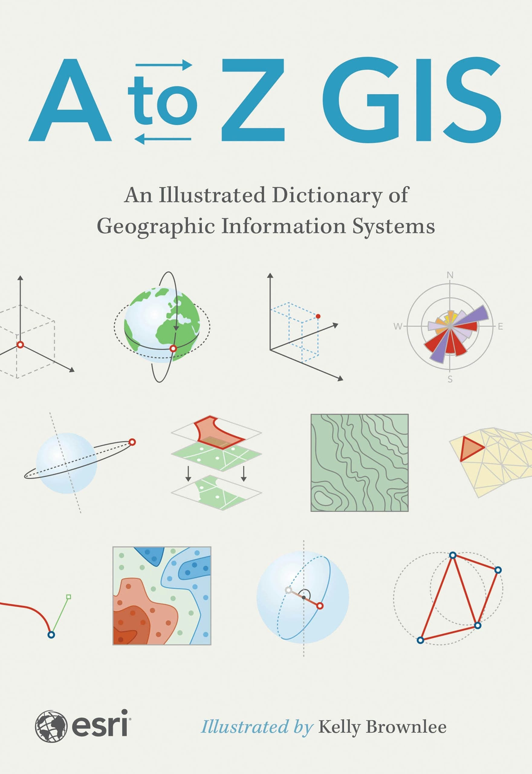
A to z gis
Newly updated and expanded, A to Z GIS: An Illustrated Dictionary of Geographic Information Systems (GIS) is a comprehensive reference for anyone discovering the interdisciplinary nature of GIS.
Regular price $34.99Regular price $34.99 Sale price $34.99Unit price per -


Spatial statistics illustrated
With approachable explanations and uncomplicated drawings, Spatial Statistics Illustrated gives readers an accessible understanding of some of the most widely used spatial statistics methods.
Regular price $44.99Regular price $44.99 Sale price $44.99Unit price per -


Materials chemistry
Materials Chemistry, a broad dscipline including hard and lightweight materials, bio-materials and superconductors, as well as the more traditional materials such as ceramics, polymers, and glasses focusing on the structure-property paradigm. Each class of materials highlights recycling technique...
Read MoreRegular price $98.99Regular price $0.00 Sale price $98.99Unit price per -


Polymers
The second edition of Macromolecular Chemistry broadens into two areas: biomacromolecules, Volume 1 and polymers, Volume 2. Polymers covers polymer history, polymerization reactions, polymer morphology, technology, characterization and testing, processing, and recycling. The book discusses the bu...
Read MoreRegular price $77.99Regular price $0.00 Sale price $77.99Unit price per -


Blown film extrusion 3e
From hardware and materials through processing and properties, a broad coverage of blown film extrusion is presented. A primary objective of this book is to ensure a useful balance of theory and practice. The reader will find the answers to why they encounter certain effects in the blown film pro...
Read MoreRegular price $144.99Regular price $144.99 Sale price $144.99Unit price per -


How to improve rubber compounds 2e
Rubber compounding is a very complex endeavor. There are many interactions and many ways to achieve the target properties and economic goals while maintaining an acceptable trade-off for these characteristics. This book is dedicated to providing the reader with various experimental ideas which ma...
Read MoreRegular price $219.99Regular price $219.99 Sale price $219.99Unit price per -

Troubleshooting rubber problems
Problems can occur during the many steps involved in the manufacture and use of rubber products. There are challenges in selecting and combining materials to form a rubber compound, mixing and processing equipment under varied conditions, or using the finished product in different conditions and ...
Read MoreRegular price $144.99Regular price $144.99 Sale price $144.99Unit price per -


Injection molding simulation for beginners
This book offers an up-to-date, platform-independent introduction to injection molding simulation, which plays a very important role in the design of molds and molded parts as well as process development and optimization. The content is structured and conveyed within an engineering framework. Com...
Read MoreRegular price $129.99Regular price $129.99 Sale price $129.99Unit price per -


Achieving net zero dairy farming
This book provides a detailed insight into the fundamental processes within the dairy cow and on dairy farms that contribute to and reduce greenhouse gas emissions, as well as the strategies that can be implemented to reduce the sector’s carbon footprint.
Regular price $200.00Regular price $200.00 Sale price $200.00Unit price per -


Advances in pig breeding and reproduction
This collection provides a comprehensive review of the wealth of research on recent developments in pig breeding, including the shift from a primary focus on production traits to traits encompassing improved feed efficiency and disease resistance. The book also considers advances in understanding...
Read MoreRegular price $195.00Regular price $195.00 Sale price $195.00Unit price per -


Understanding the behaviour and improving the welfare of dairy cattle
This collection summarises and reviews the wealth of research relating specifically to dairy cattle, including understanding behaviour, monitoring welfare and improving current welfare practices.
Regular price $195.00Regular price $195.00 Sale price $195.00Unit price per -

The last shelby cobra
An insider’s memoir of Carroll Shelby’s final 25 years—told by Chris Theodore, the engineer behind the Ford GT. Packed with never-before-seen stories, rare photos, and behind-the-scenes moments from the creation of the last Shelby Cobra and other iconic cars.
Regular price $26.99Regular price $0.00 Sale price $26.99Unit price per -

Cyborgs of the ecocene
Offers a detailed account of robots and robotics research across a number of field and test sites, many of which have not previously been subject to ethnographic attention. This provides novel insights into the work of robotics, the figure of the robot, and the use of robots. The book also c...
Read MoreRegular price $22.95Regular price $0.00 Sale price $22.95Unit price per -


Mathematical and computational approaches in metrology
Current measurement systems depend more and more on mathematical and computational approaches. Novel developments include virtual metrology digital twins, sensor networks, uncertainty quantification of computationally expensive models and artificial intelligence. Altogether, metrology has starte...
Read MoreRegular price $176.99Regular price $0.00 Sale price $176.99Unit price per -
Processing of high consistency rubber and liquid silicone rubber
Silicone elastomers are becoming increasingly important in plastics technology because their outstanding properties make them suitable for a wide range of applications. In medical technology, silicone rubber is preferred over other plastics due to its good processability and physiological safety,...
Read MoreRegular price $149.99Regular price $0.00 Sale price $149.99Unit price per -
Plastics technology
This introductory book covers the entire spectrum of the plastics technology/engineering, from raw material to finished plastic products. It is intended not just for university/college students in plastics technology and other engineering disciplines but also for beginners to the field in general...
Read MoreRegular price $139.99Regular price $0.00 Sale price $139.99Unit price per -
Pile foundations, volume 2
Pile Foundations: Design and Construction, Volume Two delivers practical guidance for the design and construction of pile foundations. An essential reference for geotechnical engineers, consultants and postgraduate students in geotechnical design.
Regular price $95.00Regular price $0.00 Sale price $95.00Unit price per -
Set: numerische mathematik, band 1+2
Die Numerische Mathematik ist einer der Grundpfeiler des Mathematik-, Ingenieur-, Physik- und Informatikstudiums. Dieses zweibändige Lehrbuch ist für Einführungsvorlesungen konzipiert und legt eine solide Basis für weiterführende Lerneinheiten. Der Text ist aus Vorlesungsmanuskripten hervorgegan...
Read MoreRegular price $109.99Regular price $0.00 Sale price $109.99Unit price per -
Engineering of problematic soils volume 2
A practical guide to identifying, understanding, and mitigating the risks of soils that defy classic theory, Engineering of Problematic Soils links geological, environmental, and human processes to real-world construction challenges, offering unique solutions and case studies for geotechnical pra...
Read MoreRegular price $81.00Regular price $0.00 Sale price $81.00Unit price per -


The revolution in military affairs
The war in Afghanistan, the Gulf war, and the NATO bombardment of Kosovo show clearly how advances in information technology are driving a high-tech revolution in military affairs (RMA) and transforming the nature of modern warfare. Elinor Sloan outlines the major elements of the RMA and examines...
Read MoreRegular price $34.95Regular price $0.00 Sale price $34.95Unit price per -


Continentalizing canadian telecommunications
In Continentalizing Canadian Telecommunications Vanda Rideout examines active political resistance to the radical, neo-liberal transformation of Canadian telecommunications that has been orchestrated by the federal government, big business, and their powerful lobbyists over the last two decades.
Regular price $37.95Regular price $0.00 Sale price $37.95Unit price per -


Digital play
Digital Play offers a uniquely critical analysis of interactive media. Inspired by the work of Raymond Williams, the book traces the development of video gaming from its humble origins in hacker circles to its current status as a $20 billion global cultural industry. Stephen Kline, Nick Dyer-With...
Read MoreRegular price $32.95Regular price $0.00 Sale price $32.95Unit price per -


Living factories
How biotechnology is changing the definition of "life."
Regular price $125.00Regular price $0.00 Sale price $125.00Unit price per -


Techno-optimist manifesto
Marc Andreessen’s Techno-Optimist Manifesto contextualizes the imperative for technological progress and serves as a cri de coeur for reinvesting our faith in building the future, along with advancing the tools we use to get us there. As Network Press's debut title, the celebration of human possi...
Read MoreRegular price $24.95Regular price $0.00 Sale price $24.95Unit price per -

Measurement uncertainty
The aim of measuring is to gain or improve knowledge about objects or processes. However, measurement results are inherently uncertain. The ‘Guide to the Expression of Uncertainty in Measurement’ (GUM), published by the CPIM as the highest international authority in metrology, provides a standard...
Read MoreRegular price $65.99Regular price $0.00 Sale price $65.99Unit price per -


Coppice agroforestry
Coppice Agroforestry is a comprehensive guide to resprout silviculture – coppicing, pollarding, shredding, and pleaching hardwood trees for firewood, building materials, furniture, basketry, and more. Covers coppice history, biology, ecology, products, woodland economics, and agroforestry system ...
Read MoreRegular price $59.99Regular price $0.00 Sale price $59.99Unit price per -


The winter market gardener
The Winter Market Gardener is a guide to year-round vegetable production. Based on years of experimentation in techniques, tools, and cultivars, it presents planting, care, and harvesting details for dozens of winter crops that earn money and provide the highest quality, most delicious produce fo...
Read MoreRegular price $39.99Regular price $0.00 Sale price $39.99Unit price per -


“real expedicion maritima de la vacuna” in new spain and guatemala
This fascinating publication studies the activities of the Spanish Royal Maritime Vaccination Expedition's introduction of the small pox vaccination to the New World, led by Dr. Francisco Xavier de Balmis y Berenguer. With a focus on Mexico and Guatemala, Smith's work illuminates a rich cultural,...
Read MoreRegular price $90.00Regular price $90.00 Sale price $90.00Unit price per -


Exploring agrodiversity
Small farmers are often viewed as engaging in wasteful practices that wreak ecological havoc. Exploring Agrodiversity sets the record straight: Small farmers are in fact ingenious and inventive and engage in a diverse range of land-management strategies, many of them resourcefully geared toward c...
Read MoreRegular price $150.00Regular price $150.00 Sale price $150.00Unit price per -


Build better products
It’s easier than ever to build a new product. But developing a great product that people actually want to buy and use is another story. Build Better Products is a hands-on, step-by-step guide that helps teams incorporate strategy, empathy, design, and analytics into their development process. You...
Read MoreRegular price $54.99Regular price $54.99 Sale price $54.99Unit price per -
Barbed wire
No less than the internal combustion engine, the transistor, or the silicon chip, barbed wire is a quintessentially modern invention, a product that has influenced the lives of millions of people across the globe since its invention in the late nineteenth century. Now in paperback, Barbed Wire: A...
Read MoreRegular price $16.95Regular price $16.95 Sale price $16.95Unit price per -
Mess- und prüfmethoden der optischen fertigung, bd. 1
Keine ausführliche Beschreibung für "Mess- und Prüfmethoden der Optischen Fertigung, Bd. 1" verfügbar.
Regular price $148.99Regular price $0.00 Sale price $148.99Unit price per -

Sheet metal forming processes and die design
This is the CD-ROM Only version of this useful title. By an engineer with decades of practical manufacturing experience, this book is a complete modern guide to sheet metal forming processes and die design – still the most commonly used methodology for the mass-production manufacture of aircra...
Read MoreRegular price $54.95Regular price $0.00 Sale price $54.95Unit price per -

Physical chemistry of polymers
Physical Chemistry of Polymers, now in its third and improved edition, introduces its concepts in a format targeted for a blended-learning approach. It provides a basis to bridge polymer chemistry, which targets microscopic structures, and polymer engineering, which targets macroscopic functions....
Read MoreRegular price $105.99Regular price $0.00 Sale price $105.99Unit price per -


Machinery's handbook
Get ready, get set…and take advantage of ready access to hundreds of critical math equations from the premier reference in its field with a click of your mouse! Machinery's Handbook 28th Edition CD-ROM provides what many of you have been asking for…INTERACTIVE MATH. With a simple Internet co...
Read MoreRegular price $94.95Regular price $0.00 Sale price $94.95Unit price per -


Out of the desert
The daring low level mission to the oil refineries of Ploesti has long been considered as one of the most significant missions of World War Il. The allies were determined to annihilate the very source of the fuel which fed the German war machine. In Out of the Desert, a distinguished veteran of t...
Read MoreRegular price $23.95Regular price $23.95 Sale price $23.95Unit price per -


Weeds and what they tell us
This wonderful little book covers everything you need to know about the types of plants known as weeds, how they grow and what they can tell us about soil health.
Regular price $14.95Regular price $14.95 Sale price $14.95Unit price per -


Compact nmr
The goal of this book is to provide an introduction to the practical use of mobile NMR at a level as basic as the operation of a smart phone. Each description follows the same didactic pattern: introduction, basic theory, pulse sequences and parameters, beginners-level measurements, advanced...
Read MoreRegular price $98.00Regular price $98.00 Sale price $98.00Unit price per -


Machinery’s handbook 32nd edition & 4090 sheet metal / hvac pro calc calculator (set): large print
Since publication of the first edition more than 100 years ago, Machinery’s Handbook has been acclaimed as the most popular, bestselling engineering resource of all time. Universally considered the principal reference in the manufacturing, metalworking, and mechanical industries, the Handbook is...
Read MoreRegular price $224.95Regular price Sale price $224.95Unit price per -


Crisis without end
Expert essays provide the first comprehensive analysis of the long-term health and environmental consequences of the Fukushima nuclear accident. On the second anniversary of the Fukushima disaster, an international panel of leading medical and biological scientists, nuclear engineers, and polic...
Read MoreRegular price $26.95Regular price $26.95 Sale price $26.95Unit price per -


Association of the air force missileers
Follow the history of Air Force Missileers and missile programs. Including Snark, Bomarc, Matador, Mace, Thor, Jupiter, Atlas, Titan, Minuteman, Peacekeeper, Space Launch, Air-to-Air, Air-to-Ground and a variety of other programs. Includes rare photos, patches, maps, charts, personal experience s...
Read MoreRegular price $52.50Regular price $52.50 Sale price $52.50Unit price per -

Machinery's handbook 31 digital edition upgrade
Since the first edition published more than 100 years ago, Machinery’s Handbook has been acknowledged as an exceptionally authoritative and comprehensive, yet highly practical, and easy-to-use tool. The versatile Machinery’s Handbook 31 Digital Edition makes access to this vast collection of in...
Read MoreRegular price $69.95Regular price $0.00 Sale price $69.95Unit price per -


Electronics in easy steps
Electronics in easy steps shows the reader how electricity works and what electronic components do – from simple theory through to actually building, testing and troubleshooting useful and interesting circuits.
Regular price $18.99Regular price $0.00 Sale price $18.99Unit price per -


The evolution of wired life
Thoughtful and erudite... Intelligent and readable...Will appeal to people who enjoyed Longitude by Dava Sobel or Fermat's Enigma by Simon Singh. -The San Diego Union Tribune""Most engaging.""-The Boston Globe""An optimistic and reassuring assertion that no matter what wonders we invent, human be...
Read MoreRegular price $15.95Regular price $15.95 Sale price $15.95Unit price per -


Machinist calc pro 2 calculator
This dedicated handheld machining math and reference tool provides a complete assortment of machine shop solutions. Features include: Materials and tool settings are combined with DOC and WOC to solve speed and feed calculations for face, end, or slot milling, plus turning, drilling, boring, and...
Read MoreRegular price $62.95Regular price $0.00 Sale price $62.95Unit price per -

Gis tutorial for arcgis pro 3.4
Jump into GIS with this popular hands-on textbook, written and updated for ArcGIS Pro 3.4.GIS Tutorial for ArcGIS Pro 3.4 is the book everyone needs to learn the powerful desktop app ArcGIS Pro.GIS Tutorial for ArcGIS Pro 3.4 is one of the top books on geographic information systems (GIS). Writte...
Read MoreRegular price $119.99Regular price $119.99 Sale price $119.99Unit price per -


Growing biodynamic crops
A comprehensive overview of crops and cropping for biodynamic farmers, written by experts in their field.
Regular price $19.95Regular price $19.95 Sale price $19.95Unit price per -

Machine tool technology basics
This is the CD-ROM only version of this popular title. Also includes the companion software that comes with the book. Contains the complete contents of the book, fully searchable, with interactive table of contents and index, in Adobe's popular portable document format (PDF). Written by th...
Read MoreRegular price $74.95Regular price $0.00 Sale price $74.95Unit price per -


Bees make the best pets
All the Buzz for Beekeeping Beginners“The book oozes with bee facts and trivia….Bees do make good pets and this book is a gentle introduction to the world of backyard bee keeping.” —Patsy Bell Hobson, writer and master gardener emeritus#1 New Release in Entomology and Insects & SpidersWhat ha...
Read MoreRegular price $18.99Regular price $18.99 Sale price $18.99Unit price per -

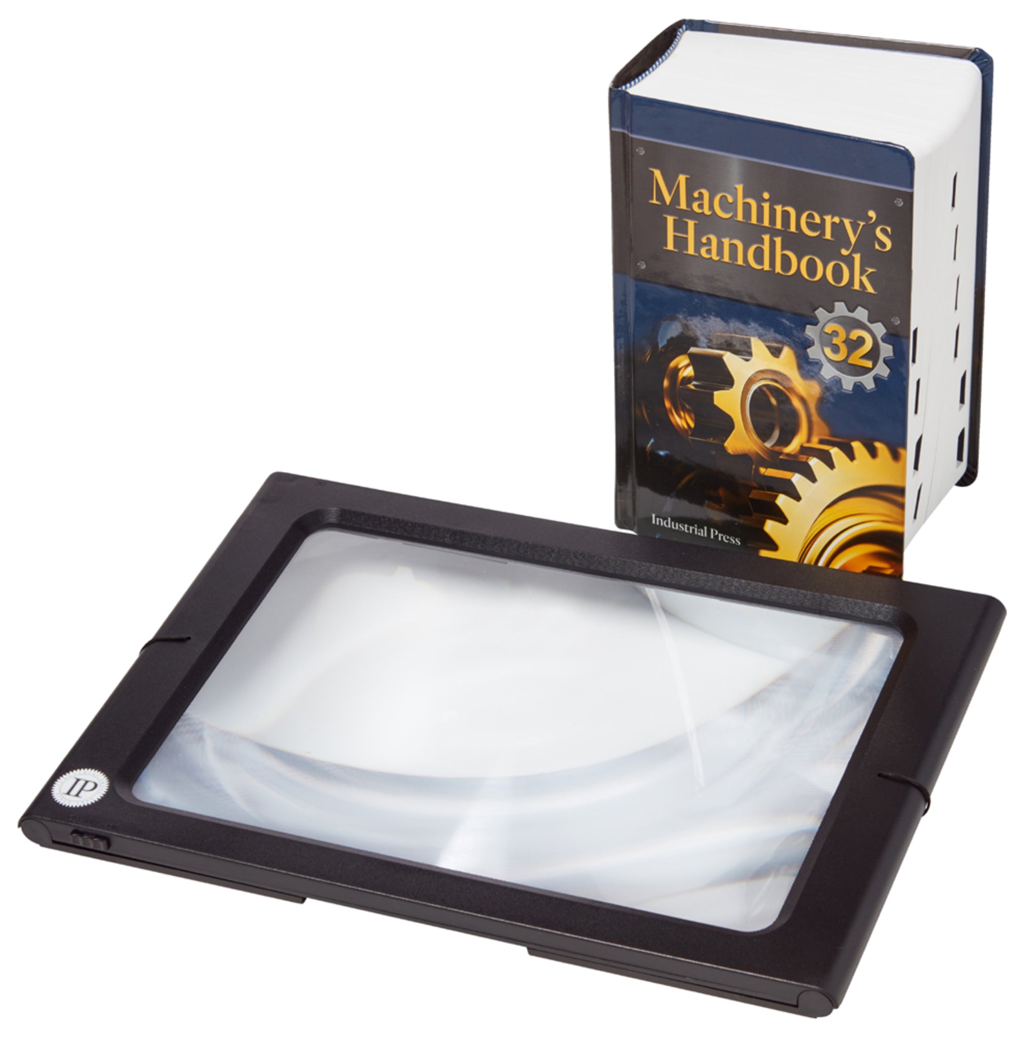
Machinery’s handbook toolbox & magnifier bundle
Since publication of the first edition more than 100 years ago, Machinery’s Handbook has been acclaimed as the most popular, bestselling engineering resource of all time. Universally considered the principal reference in the manufacturing, metalworking, and mechanical industries, the Handbook is ...
Read MoreRegular price $189.95Regular price Sale price $189.95Unit price per -


China and the geopolitics of rare earths
Редкоземельные элементы жизненно важны для широкого спектра высокотехнологичных, оборонных и «зеленых» технологий — от iPhone и медицинских аппаратов до ветряных турбин, экономичных ламп, «умных» бомб и подводных лодок. Хотя они на самом деле не являются особо «редкими», добывать их сложно и доро...
Read MoreRegular price $40.00Regular price $0.00 Sale price $40.00Unit price per -

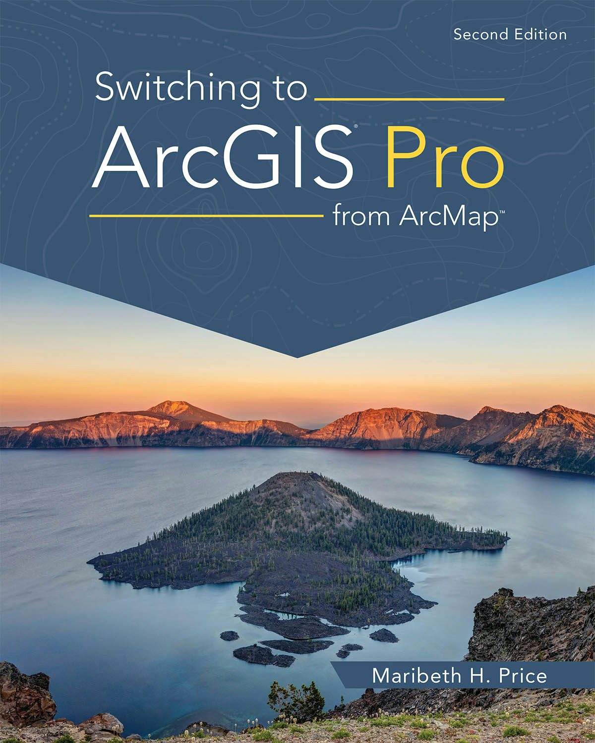
Switching to arcgis pro from arcmap
Take advantage of your ArcMap experience to get up to speed with ArcGIS Pro using Switching to ArcGIS Pro from ArcMap, the concise yet comprehensive book updated for ArcGIS Pro 2.9.
Regular price $65.99Regular price $65.99 Sale price $65.99Unit price per -


Caterpillar association of the united states
The Caterpillar Association, born in 1982, is a group of self-saved men and women. Any person who saves his life jumping from a disabled aircraft, with a parachute, can become a member. This is not the history of the parachute, but rather the stories behind the men and women who were forced to us...
Read MoreRegular price $23.95Regular price $23.95 Sale price $23.95Unit price per -


Words whispered in water
Words Whispered in Water is a rare story about how a tiny woman prevailed against a mammoth federal agency and won. When steel flood-walls built with inherent engineering mistakes broke in New Orleans, the responsible party, the Army Corps of Engineers, went into full-time damage control mode, bu...
Read MoreRegular price $19.95Regular price $19.95 Sale price $19.95Unit price per -


Engineering catalysis
The book discusses various aspects of catalysis engineering: from catalysis design, catalyst preparation and characterization, reaction kinetics, mass transfer, and catalytic reactors to the implementation of catalysts in chemical technology. Aimed at graduate students, it is also a useful resour...
Read MoreRegular price $105.99Regular price $0.00 Sale price $105.99Unit price per -
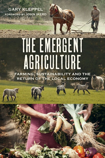

The emergent agriculture
Written from the vantage point of a farmer-ecologist, The Emergent Agriculture describes how industrial agriculture is being replaced by an emerging system of local production. The new paradigm celebrates craftsmanship and resiliency, and honors the growers who feed the soil and nourish the bo...
Read MoreRegular price $17.95Regular price $17.95 Sale price $17.95Unit price per -


Biodynamic beekeeping
A unique book offering practical instruction and detailed advice on caring for bees using biodynamic theories and methods.
Regular price $24.95Regular price $24.95 Sale price $24.95Unit price per -


The biodynamic farm
A practical guide to developing a healthy, balanced and sustainable farm.
Regular price $14.95Regular price $14.95 Sale price $14.95Unit price per -


From the agriculture course to sustainable farming
A fascinating exploration of the growth of the biodynamic movement over the last century from esteemed experts in the field. Today, biodynamic agriculture is practiced in more than 50 countries worldwide and offers a way of growing high-quality produce through the sustainable cultivation of soil,...
Read MoreRegular price $22.99Regular price $22.99 Sale price $22.99Unit price per -


Machinery's handbook & calc pro 2 combo: large print
Since publication of the first edition more than 100 years ago, Machinery’s Handbook has been acclaimed as the most popular, bestselling engineering resource of all time. Universally considered the principal reference in the manufacturing, metalworking, and mechanical industries, the Handbook is ...
Read MoreRegular price $249.95Regular price Sale price $249.95Unit price per -

3d printing technologies
Additive Manufacturing is a method of manufacturing parts and products directly from design data, by adding layers of materials in order to obtain the final shape and size with high accuracy and negligible waste. The book covers the latest developments of hybrid and bio-inspired 3D Printing, the...
Read MoreRegular price $176.99Regular price $0.00 Sale price $176.99Unit price per -


Wings that stay on
From the Preface: This book was required. As a former professor of military history at the American Military University (AMU) and a retired USAF Colonel, I wanted to teach a course on the effects of fighter aviation in war. In addition, I wanted to create a course that was a "hands-on" approach t...
Read MoreRegular price $20.95Regular price $20.95 Sale price $20.95Unit price per -

The arcgis imagery book
A conceptual introduction and practical primer to the application of imagery and remote sensing data in GIS (geographic information systems).
Regular price $23.99Regular price $23.99 Sale price $23.99Unit price per -


From the ground up
An award-winning author’s powerful exploration of the remarkable women driving transformative change in America’s food system It’s well known that our industrialized food system has abandoned priorities of nutrition and environmental stability in the pursuit of profit—a model designed to fail, e...
Read MoreRegular price $27.99Regular price $27.99 Sale price $27.99Unit price per -


Who gives a gigabyte?
An exhilarating chronicle of the most revolutionary advancements in recent-and future-technologyWhich new technologies are bound to have the biggest impact on our lives in the years ahead? This groundbreaking book looks at the latest technological superstars destined to reshape the upcoming centu...
Read MoreRegular price $33.99Regular price $33.99 Sale price $33.99Unit price per -


Uss missouri
A short history and many stories from veterans (including photos).
Regular price $31.95Regular price $31.95 Sale price $31.95Unit price per -

Spatial data science
Spatial Data Science will show GIS scientists and practitioners how to add and use new analytical methods from data science in their existing GIS platforms. By explaining how the spatial domain can provide many of the building blocks, it's critical for transforming data into information, knowledg...
Read MoreRegular price $79.99Regular price $79.99 Sale price $79.99Unit price per -


Delivering water and power
Discover how GIS and location intelligence modernize utility infrastructure and operations for improved service delivery and management in Delivering Water and Power: GIS for Utilities.
Regular price $23.99Regular price $23.99 Sale price $23.99Unit price per -


Biodynamic, organic and natural winemaking
An award-winning and invaluable introduction to sustainable winemaking for all wine growers.
Regular price $24.95Regular price $24.95 Sale price $24.95Unit price per -

Genius inventions
Genius Inventions gives us a fantastic perspective on the great minds and events that shaped our modern world today. Includes fascinating on-the-page reproductions of letters, designs, plans and blueprints sourced from the museums and collections around the world. An official Science Musuem publi...
Read MoreRegular price $23.96Regular price $29.95 Sale price $23.96Unit price per

We're sorry. An error has occurred
Please cancel or retry.


