


Collection: Esri Press
Our mission is to inform, inspire, and teach professionals, students, educators, and the public about geographic information system (GIS) technology by developing print and digital publications. Our goal is to increase the adoption of ArcGIS and support the vision of Esri. We strive to be the leader in publishing great GIS books and we are dedicated to improving the work and lives of our global community of users, authors, and colleagues.

-


Managing our world
Managing Our World: GIS for Natural Resources explores a collection of real-life stories about natural resource organizations successfully using GIS to increase efficiency and sustainability.
Regular price $23.99Regular price $23.99 Sale price $23.99Unit price per -
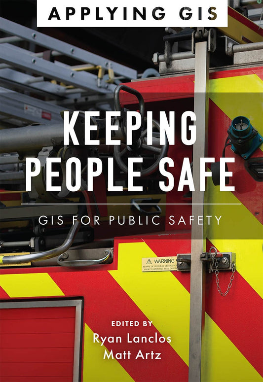

Keeping people safe
Keeping People Safe: GIS for Public Safety explores how emergency management, law enforcement, fire, rescue, emergency medical services, and homeland security agencies use geographic information system (GIS) technology to mitigate the effects of threats and hazards in their communities. The book ...
Read MoreRegular price $23.99Regular price $23.99 Sale price $23.99Unit price per -

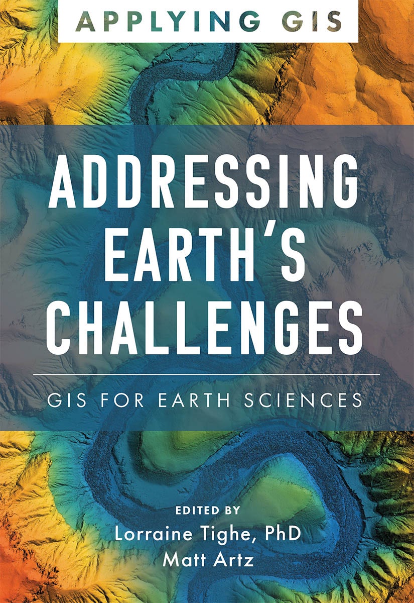
Addressing earth's challenges
Addressing Earth’s Challenges: GIS for Earth Sciences explores a collection of real-life stories about how earth science organizations successfully use GIS to visualize and analyze data.
Regular price $23.99Regular price $23.99 Sale price $23.99Unit price per -


Thematic mapping
Thematic Mapping: 101 Inspiring Ways to Visualise Empirical Data explores the rich diversity of thematic mapping using a single dataset from the 2016 US presidential election.
Regular price $71.99Regular price $71.99 Sale price $71.99Unit price per -


Lining up data in arcgis
Lining Up Data in ArcGIS: A Guide to Map Projections is an easy-to-navigate, troubleshooting reference for any GIS user with the common problem of data misalignment. Completely updated with full-color maps and diagrams from ArcGIS Desktop 10.6 but still compatible with ArcGIS Desktop 10.1 and hig...
Read MoreRegular price $47.99Regular price $47.99 Sale price $47.99Unit price per -


Gis tutorial for crime analysis
GIS Tutorial for Crime Analysis, second edition presents state-of-the-art crime mapping and analysis methods that can be incorporated into any police department’s current practices.
Regular price $101.99Regular price $101.99 Sale price $101.99Unit price per -

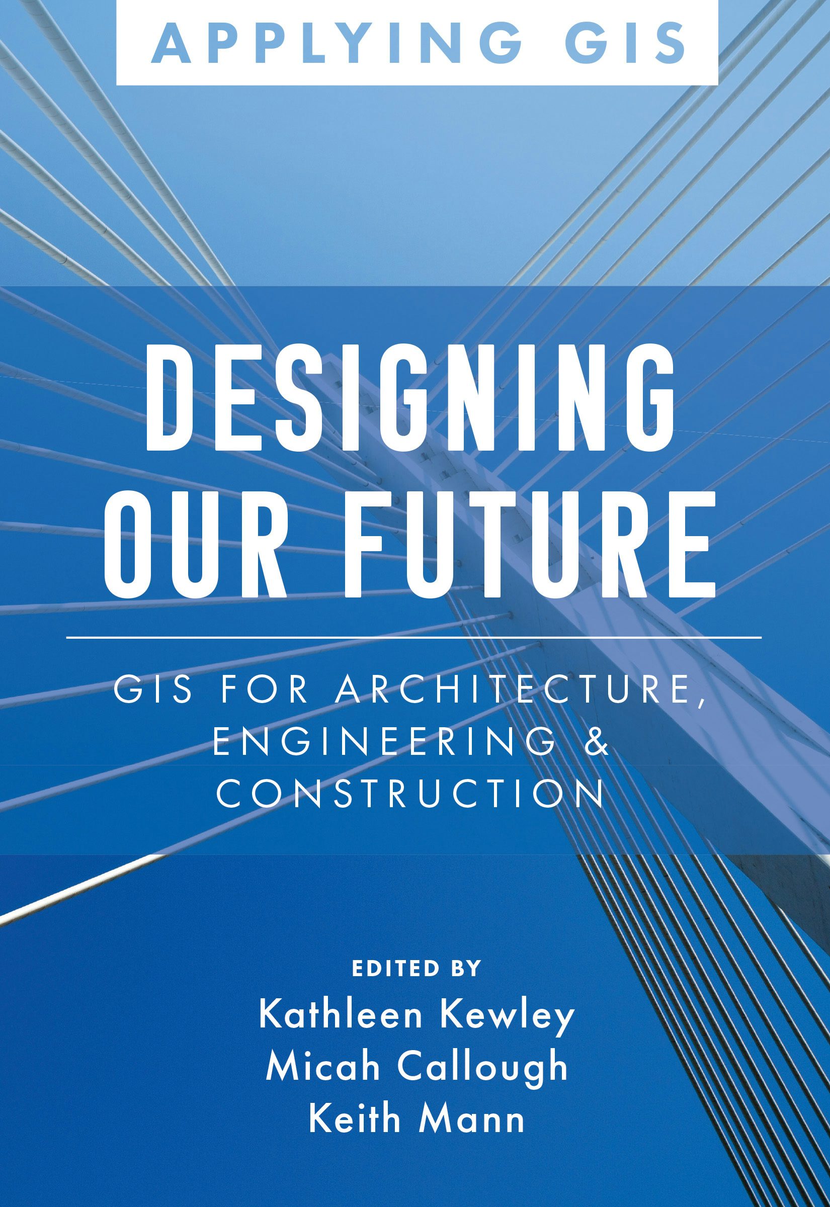
Designing our future
See how the AEC industry is implementing GIS to improve efficiency and transform the way they plan, design, build, and operate in the built and natural environments.
Regular price $23.99Regular price $23.99 Sale price $23.99Unit price per -

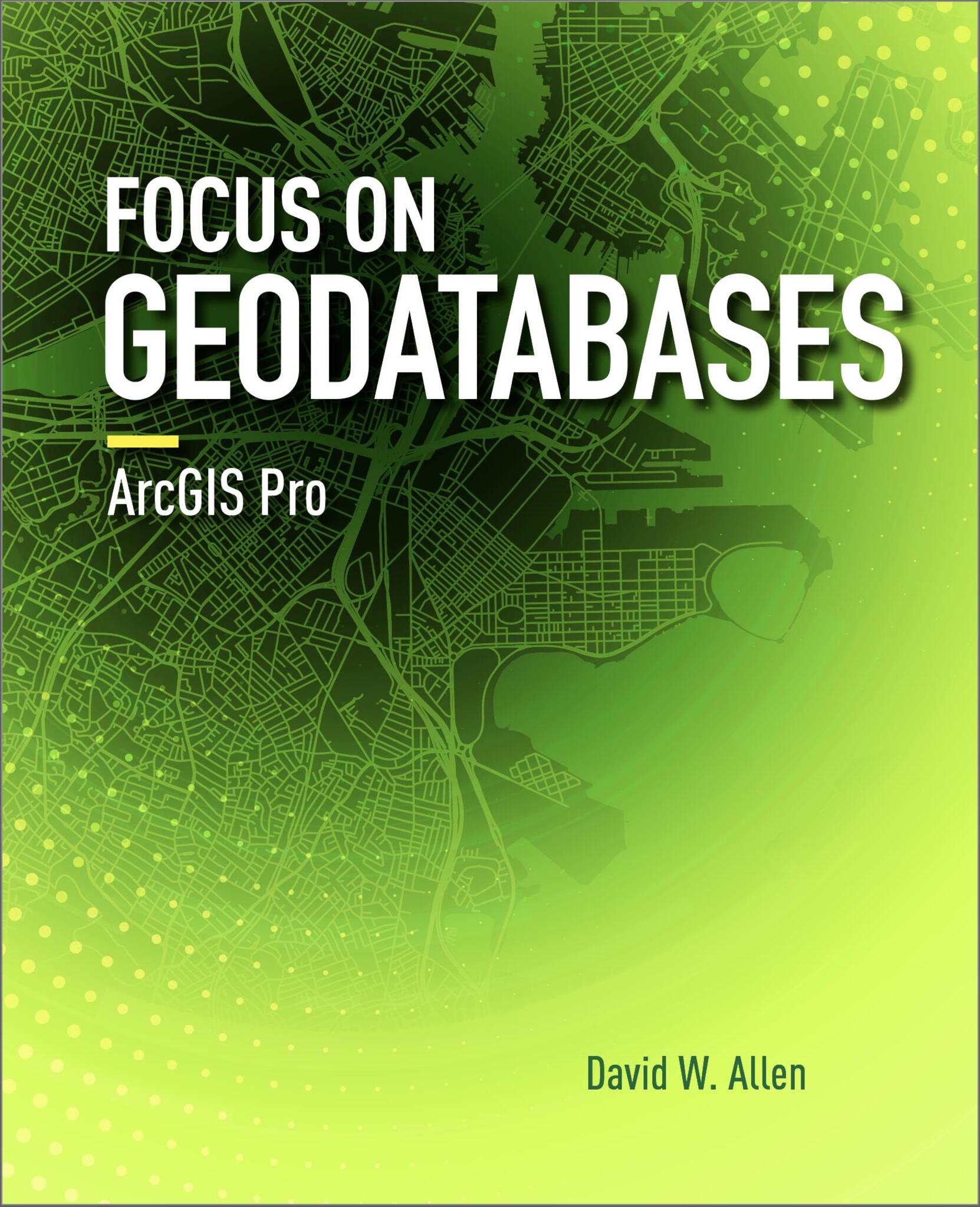
Focus on geodatabases in arcgis pro
Focus on Geodatabases in ArcGIS Pro introduces readers to the geodatabase, the comprehensive information model for representing and managing geographic information across the ArcGIS platform.
Regular price $71.99Regular price $0.00 Sale price $71.99Unit price per -


Getting to know arcgis pro 2.8
Getting to Know ArcGIS Pro 2.8 is a textbook and desk reference designed to show users how they can use ArcGIS Pro successfully on their own.
Regular price $119.99Regular price $119.99 Sale price $119.99Unit price per -

Prepare, respond, renew
Prepare, Respond, Renew: GIS for Wildland Fire explores a collection of real-life stories about wildland fire agencies successfully using GIS for preparedness, mitigation, response, and recovery and rehabilitation workflows.
Regular price $23.99Regular price $23.99 Sale price $23.99Unit price per -
Mapping america's national parks
Go behind the scenes at the National Park Service to see how maps are used to manage and sustain our national parks in Mapping America’s National Parks: Preserving Our Natural and Cultural Treasures.
Regular price $39.99Regular price $39.99 Sale price $39.99Unit price per -


Creating a smarter campus
Creating a Smarter Campus: GIS for Education explores real-life stories about education organizations improving teaching, learning, research, IT support, and administration with GIS technology.
Regular price $23.99Regular price $23.99 Sale price $23.99Unit price per -

Women and gis
Women greatly enrich science, leading research and directing decisions across myriad applications. Women and GIS: Mapping Their Stories reveals how ordinary girls become extraordinary women, overcoming obstacles to make significant global contributions.
Regular price $17.99Regular price $17.99 Sale price $17.99Unit price per -

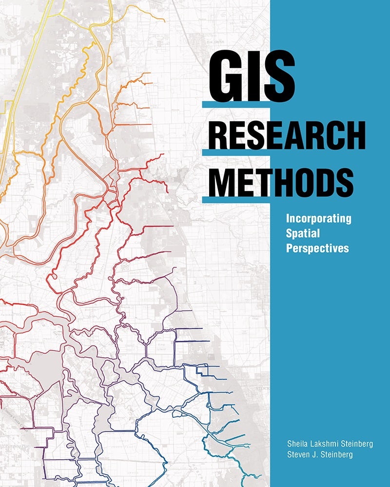
Gis research methods
A solid introduction to research methods using geographic information systems (GIS). It is written for academics and professionals in the social and physical sciences.
Regular price $71.99Regular price $71.99 Sale price $71.99Unit price per -


Women and gis, volume 2
Women and GIS, Volume 2: Stars of Spatial Science features 30 inspiring stories of diverse women using geospatial technology to improve the world. These women serve as guiding stars to motivate all readers.
Regular price $44.99Regular price $0.00 Sale price $44.99Unit price per -
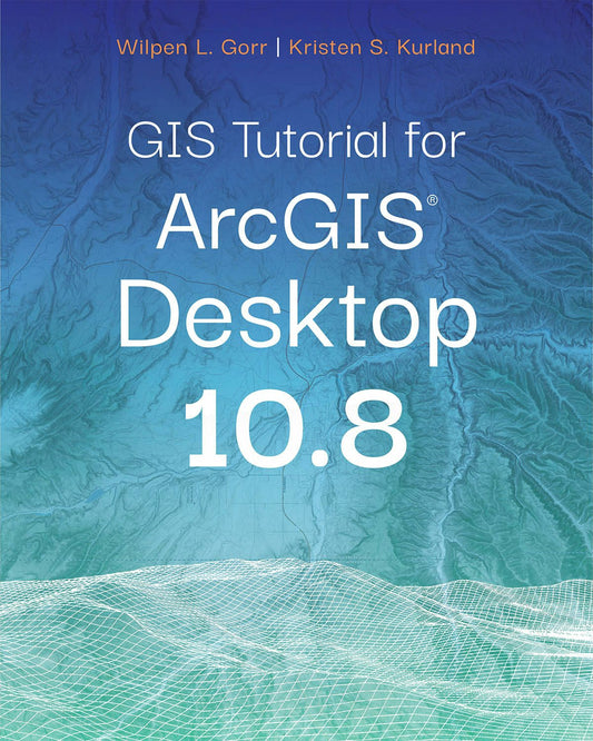

Gis tutorial for arcgis desktop 10.8
From working with map layers to analyzing spatial data, GIS Tutorial for ArcGIS Desktop 10.8 helps users explore GIS concepts, apply ArcGIS software, and gain GIS skills.
Regular price $119.99Regular price $119.99 Sale price $119.99Unit price per -


Spatial business
Spatial Business: Competing and Leading with Location Analytics provides a road map for realizing the potential of geospatial data across the location value chain through varied, real-world examples.
Regular price $107.99Regular price $107.99 Sale price $107.99Unit price per -
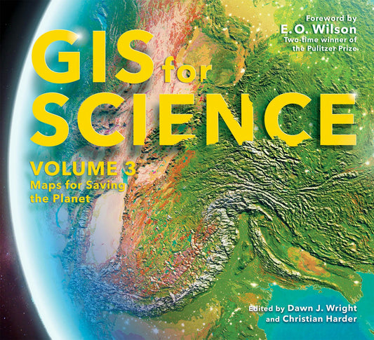
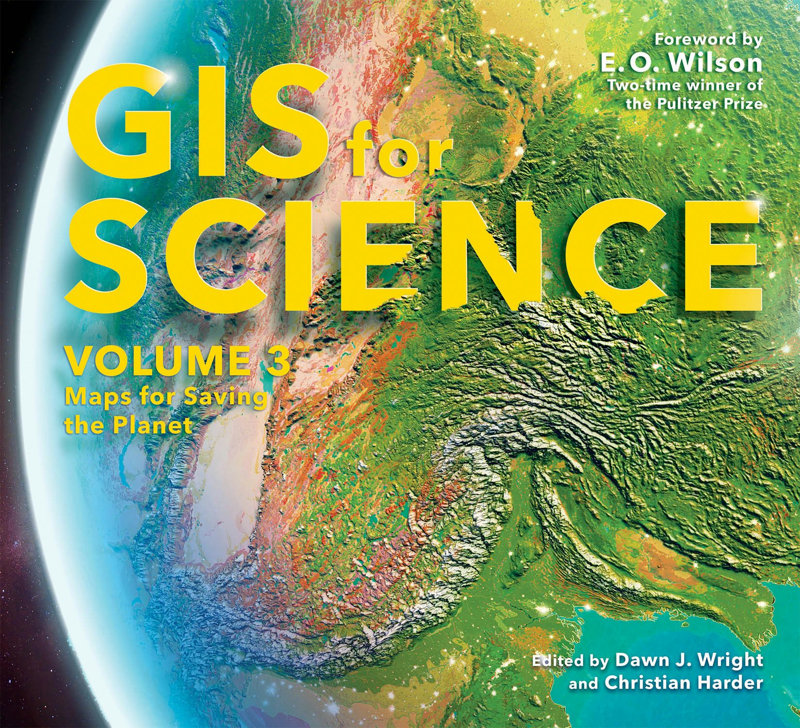
Gis for science, volume 3
GIS for Science, Volume 3: Maps for Saving the Planet, highlights real-world examples of scientists creating maps about saving life on Earth and preserving biodiversity.
Regular price $47.99Regular price $47.99 Sale price $47.99Unit price per -

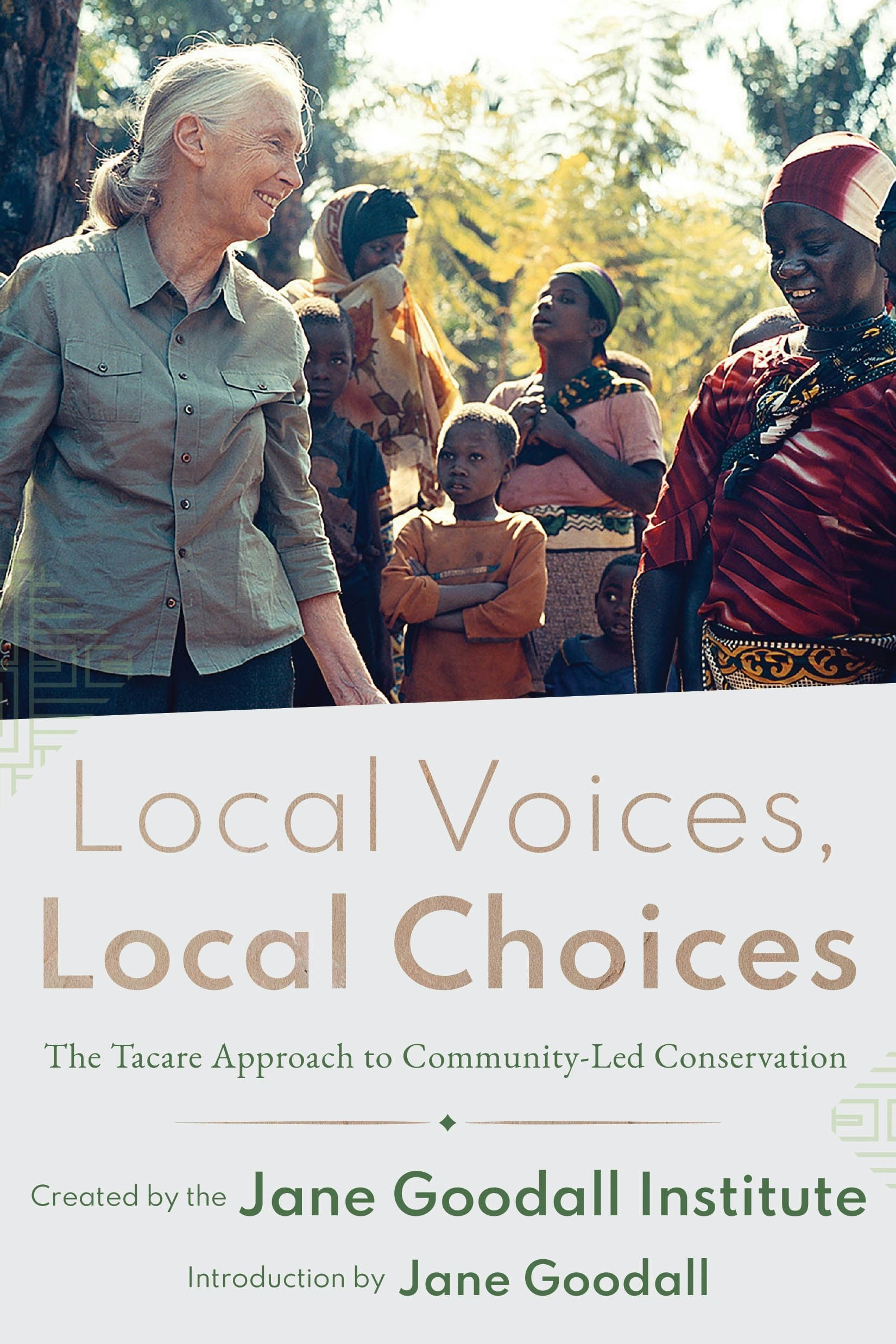
Local voices, local choices
Local Voices, Local Choices: The Tacare Approach to Community-Led Conservation chronicles the stories behind Jane Goodall’s holistic approach to conservation in Africa.
Regular price $36.99Regular price $36.99 Sale price $36.99Unit price per -


Spatial data science
Spatial Data Science will show GIS scientists and practitioners how to add and use new analytical methods from data science in their existing GIS platforms. By explaining how the spatial domain can provide many of the building blocks, it's critical for transforming data into information, knowledg...
Read MoreRegular price $79.99Regular price $79.99 Sale price $79.99Unit price per -


The power of where
Join the global geospatial community on a visual and narrative journey into how the geographic approach addresses humanity’s big challenges.
Regular price $59.99Regular price $0.00 Sale price $59.99Unit price per -


Green infrastructure
Green Infrastructure: Map and Plan the Natural World with GIS explains how to protect and foster a connected, resilient, and biologically diverse landscape for sustainable growth.
Regular price $59.99Regular price $59.99 Sale price $59.99Unit price per -

Gis tutorial for arcgis pro 3.1
Revised and streamlined for learning the latest ArcGIS® Pro tools and workflows, GIS Tutorial for ArcGIS Pro 3.1 is the book of choice for classrooms and self-learners.
Regular price $119.99Regular price $119.99 Sale price $119.99Unit price per -


The gis guide for elected officials
The GIS Guide for Elected Officials shows how GIS helps government officials analyze and model location-based information to make better decisions on behalf of their constituents.
Regular price $23.99Regular price $23.99 Sale price $23.99Unit price per -


Designing better maps
Designing Better Maps: A Guide for GIS Users, second edition, breaks down the myriad decisions involved in creating maps that communicate effectively. The second edition includes updated material and a new chapter on map publishing.
Regular price $71.99Regular price $71.99 Sale price $71.99Unit price per -

Getting to know mobile gis
Getting to Know Mobile GIS empowers readers to creatively use Mobile GIS and drive innovation in this fast-advancing field.
Regular price $79.99Regular price $79.99 Sale price $79.99Unit price per -


Moving forward
Discover how GIS and location intelligence are helping transportation organizations strengthen their vital infrastructures with Moving Forward: Applying GIS for Transportation.
Regular price $23.99Regular price $23.99 Sale price $23.99Unit price per -


The business benefits of gis
The Business Benefits of GIS: An ROI Approach presents a fact-based, benefits-focused methodology aimed at ensuring the sustainability of GIS initiatives by effectively demonstrating the success of the investment.
Regular price $24.99Regular price $24.99 Sale price $24.99Unit price per -

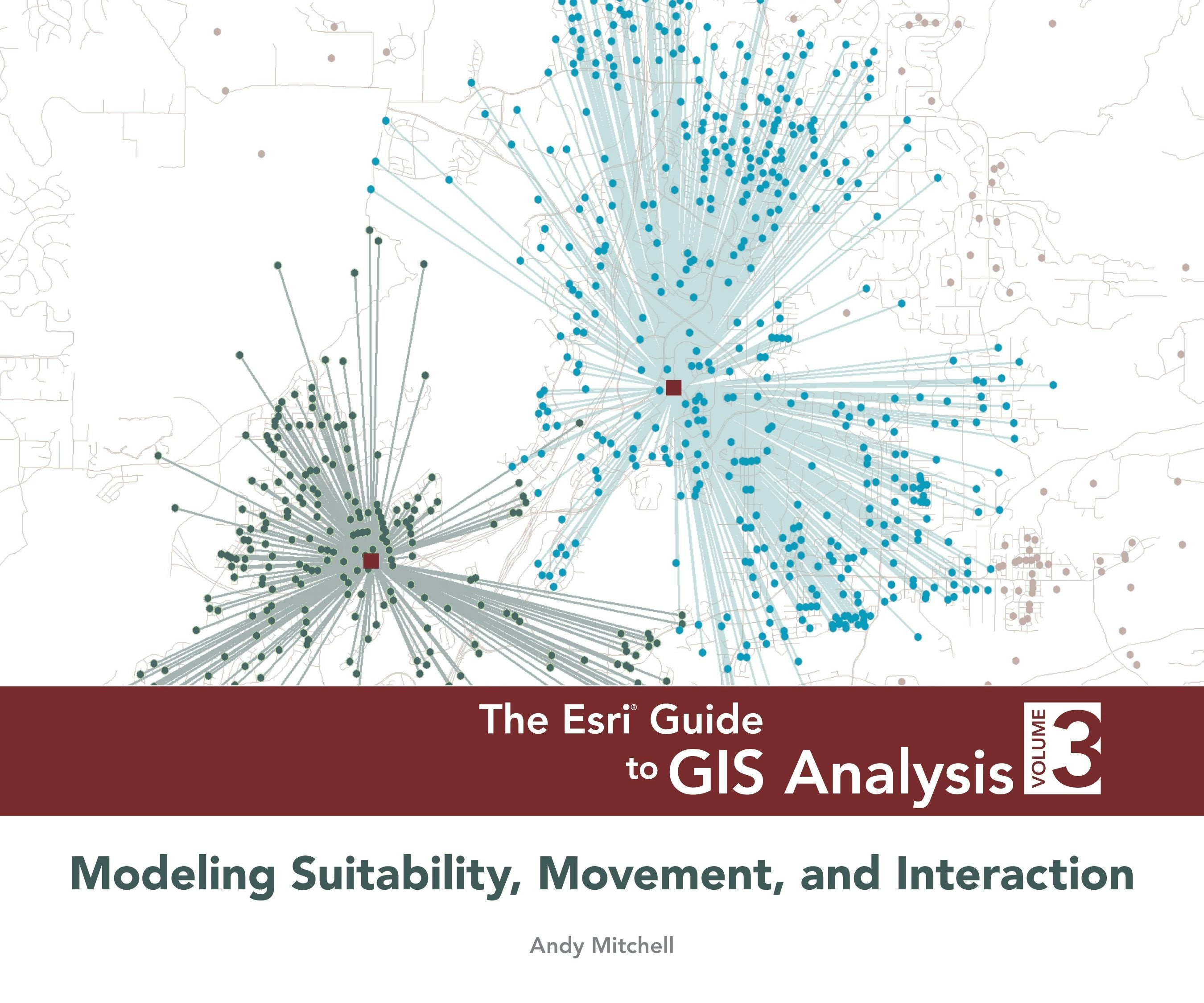
The esri guide to gis analysis, volume 3
The third volume in a popular series about geographic information systems (GIS) covers spatial interaction, site selection, routing, and scheduling.
Regular price $53.99Regular price $53.99 Sale price $53.99Unit price per -


The locators
Explore the unknown in this thrilling adventure that has readers solving real-world problems! Help the Locators—using maps and clues—as they trek through South America on an important mission.
Regular price $19.99Regular price $19.99 Sale price $19.99Unit price per -
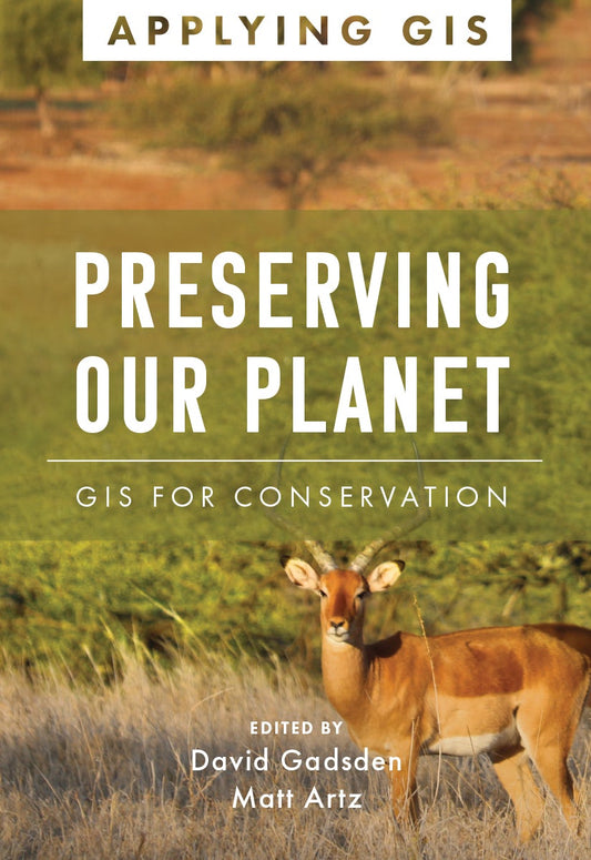

Preserving our planet
Preserving Our Planet: GIS for Conservation explores real-life stories about conservation organizations successfully using GIS to meet challenges to biodiversity preservation.
Regular price $23.99Regular price $23.99 Sale price $23.99Unit price per -
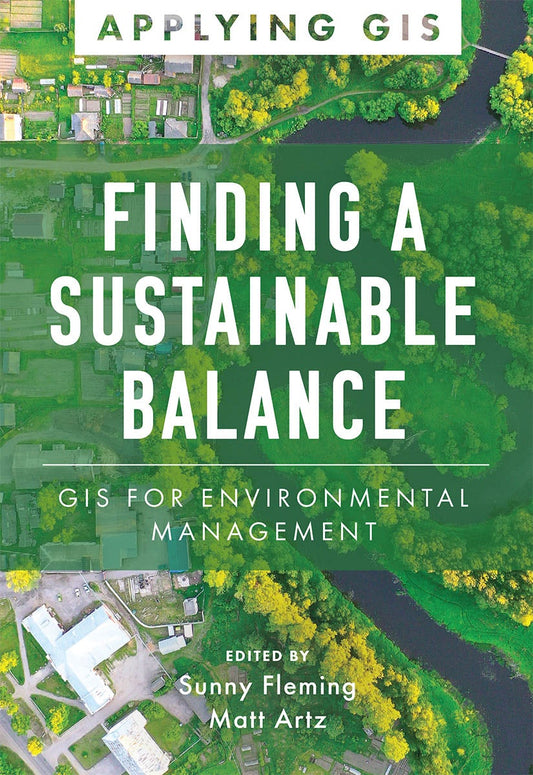

Finding a sustainable balance
Finding a Sustainable Balance: GIS for Environmental Management explores a collection of real-life stories about how environmental and natural resource management organizations successfully use GIS.
Regular price $23.99Regular price $23.99 Sale price $23.99Unit price per -


Winn and doug the waterdrops
Follow Winn and Doug on the incredible journey of water—through the water cycle all the way to wastewater treatment and back again. Part of a STEAM career-themed picture book series.
Regular price $19.99Regular price $19.99 Sale price $19.99Unit price per -


Advanced python scripting for arcgis pro
Advanced Python Scripting for ArcGIS Pro is the easy-to-follow guide to writing specialized Python scripts and developing tools for spatial data in ArcGIS Pro.
Regular price $83.99Regular price $83.99 Sale price $83.99Unit price per -
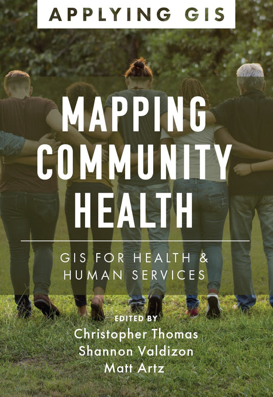
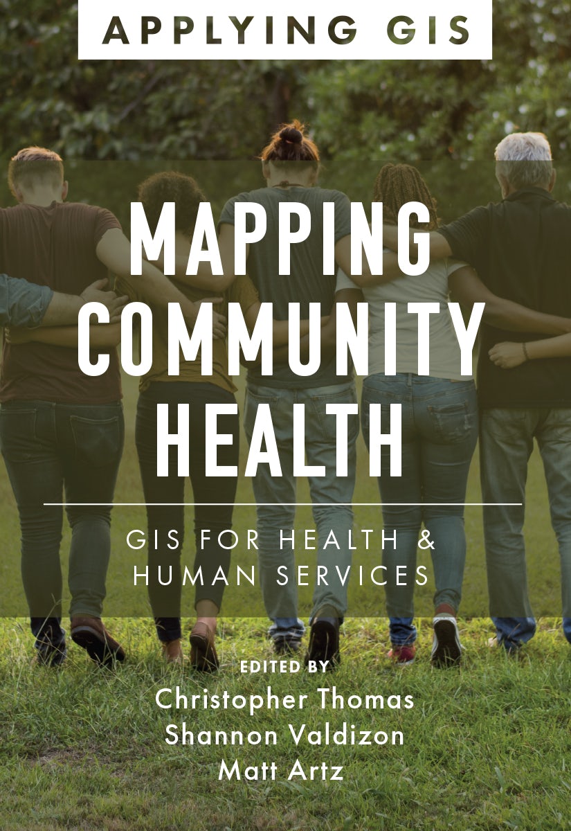
Mapping community health
Mapping Community Health: GIS for Health and Human Services explores a collection of real-life case studies about using geographic information system (GIS) technology to help build communities that improve health outcomes and increase accessibility to health care. The book also includes a “next s...
Read MoreRegular price $23.99Regular price $23.99 Sale price $23.99Unit price per -

Modern policing using arcgis pro
Modern Policing Using ArcGIS Pro is a quintessential tool for crime analysts looking to enhance the quality and efficiency of their crime mapping using ArcGIS Pro.
Regular price $59.99Regular price $59.99 Sale price $59.99Unit price per -

Designing geodatabases for transportation
This book is an important tool for designing a geographic information system (GIS) that connects the many origins, destinations, paths, and conveyances that exist in transportation.
Regular price $47.99Regular price $47.99 Sale price $47.99Unit price per -

Esri advanced guide to python in arcgis
Esri Advanced Guide to Python in ArcGIS uses concise chapters and straightforward tutorials so experienced GIS professionals can learn and immediately apply complex Python skills and techniques.
Regular price $89.99Regular price $89.99 Sale price $89.99Unit price per -


Ocean solutions, earth solutions
This book showcases the latest and best oceanography research using spatial analyses and geographic information systems. This is the leading, most up-to-date book on the subject.
Regular price $47.99Regular price $47.99 Sale price $47.99Unit price per -

Protecting the places we love
Protecting special places that are in danger of being lost forever requires urgent action. It’s time for bold conservation strategies to accelerate land protection around the world.
Regular price $29.99Regular price $29.99 Sale price $29.99Unit price per -


Spatial statistics illustrated
With approachable explanations and uncomplicated drawings, Spatial Statistics Illustrated gives readers an accessible understanding of some of the most widely used spatial statistics methods.
Regular price $44.99Regular price $44.99 Sale price $44.99Unit price per -


Lindsey la profesional de sig
¡A Lindsey le encanta la cartografía! Síguela a medida que recopila información sobre el mundo que la rodea para hacer un mapa de su parque favorito. El primero de una serie de libros ilustrados de temática profesional de STEAM; ¡perfecto para fomentar el pensamiento espacial!
Regular price $9.99Regular price $9.99 Sale price $9.99Unit price per -

Exploring geoai
Learn the latest geospatial AI models and tools with comprehensive, hands-on tutorials with real-world datasets in the workbook Exploring GeoAI: Tools and Workflows.
Regular price $39.99Regular price $0.00 Sale price $39.99Unit price per -

Getting to know arcgis pro 3.6
Learn how to use ArcGIS Pro 3.6 with this best-selling, step-by-step workbook and desk reference.
Regular price $119.99Regular price $0.00 Sale price $119.99Unit price per -

Switching to arcgis pro from arcmap
Take advantage of your ArcMap experience to get up to speed with ArcGIS Pro using Switching to ArcGIS Pro from ArcMap, the concise yet comprehensive book updated for ArcGIS Pro 2.9.
Regular price $65.99Regular price $65.99 Sale price $65.99Unit price per -

Tactile mapping
A collaboration by skilled professionals, domain experts, and people with visual impairments, Tactile Mapping offers fresh insights into map design to make maps more accessible for people with visual impairments.
Regular price $54.99Regular price $0.00 Sale price $54.99Unit price per -

Building a smarter community
Discover how GIS and location intelligence support state and local government decisions and civic inclusion in Building a Smarter Community: GIS for State and Local Government.
Regular price $23.99Regular price $23.99 Sale price $23.99Unit price per -


Mapping with altitude
Use Mapping with Altitude: Designing 3D Maps to deliver clear, compelling cartographic representations in 3D that are both eye-catching and informative.
Regular price $84.99Regular price $84.99 Sale price $84.99Unit price per -

Telling stories with maps
Bring place-based data to life with this essential guide to storytelling with maps, written by the founder of ArcGIS StoryMaps, Esri’s storytelling platform.
Regular price $44.99Regular price $44.99 Sale price $44.99Unit price per -

Women and gis, volume 3
Women and GIS, Volume 3: Champions of a Sustainable World shares impressive stories of women using geospatial technology to create sustainable solutions for problems the world faces. These thirty-one strong, persevering women from around the globe will inspire readers to achieve amazing accomplis...
Read MoreRegular price $23.99Regular price $23.99 Sale price $23.99Unit price per -

Thinking about gis
Thinking About GIS: Geographic Information System Planning for Managers presents a planning model for designing data and technology systems that will meet any organization’s specific needs.
Regular price $27.99Regular price $27.99 Sale price $27.99Unit price per -
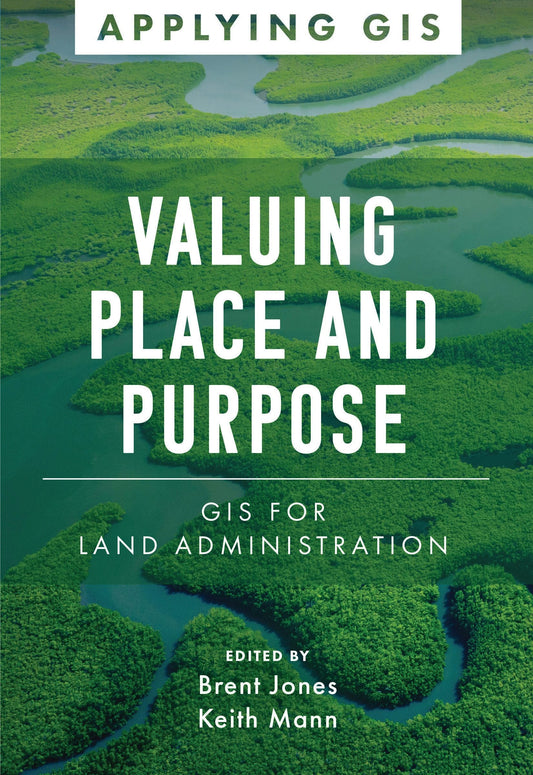

Valuing place and purpose
Valuing Place and Purpose: GIS for Land Administration shows how GIS is used to visualize, analyze, and administer land and property information, define acceptable use, conserve vulnerable landscapes, and protect disadvantaged communities and indigenous people.
Regular price $23.99Regular price $23.99 Sale price $23.99Unit price per -


The esri guide to gis analysis, volume 1
The Esri Guide to GIS Analysis, Volume 1, second edition, updates a classic text that lays the foundation for all GIS users to find spatial patterns, relationships, and trends that lead to better decision-making.
Regular price $59.99Regular price $59.99 Sale price $59.99Unit price per -

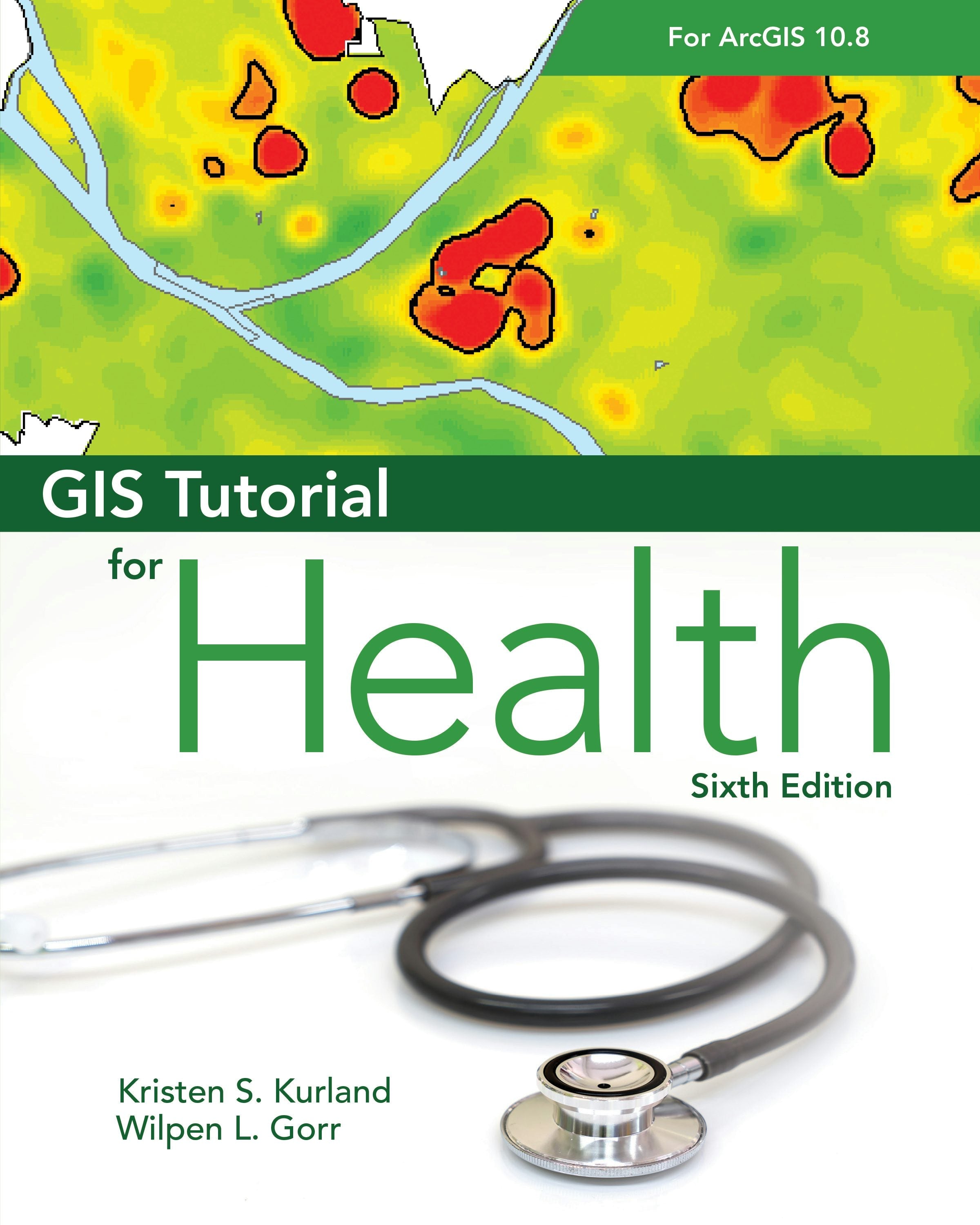
Gis tutorial for health for arcgis desktop 10.8
GIS Tutorial for Health for ArcGIS Desktop 10.8 introduces readers to preparing, visualizing, and analyzing health data in a workbook designed for teaching with ArcGIS Desktop 10.8.
Regular price $71.99Regular price $71.99 Sale price $71.99Unit price per -


Sig et recensement 2020
Les recenseurs doivent capturer et analyser les informations au niveau géographique le plus détaillé à l’aide des technologies mobiles et géospatiales. L’ouvrage SIG et recensement 2020 : modernisation des statistiques officielles propose aux organismes de statistique les méthodologies et...
Read MoreRegular price $59.99Regular price $59.99 Sale price $59.99Unit price per -

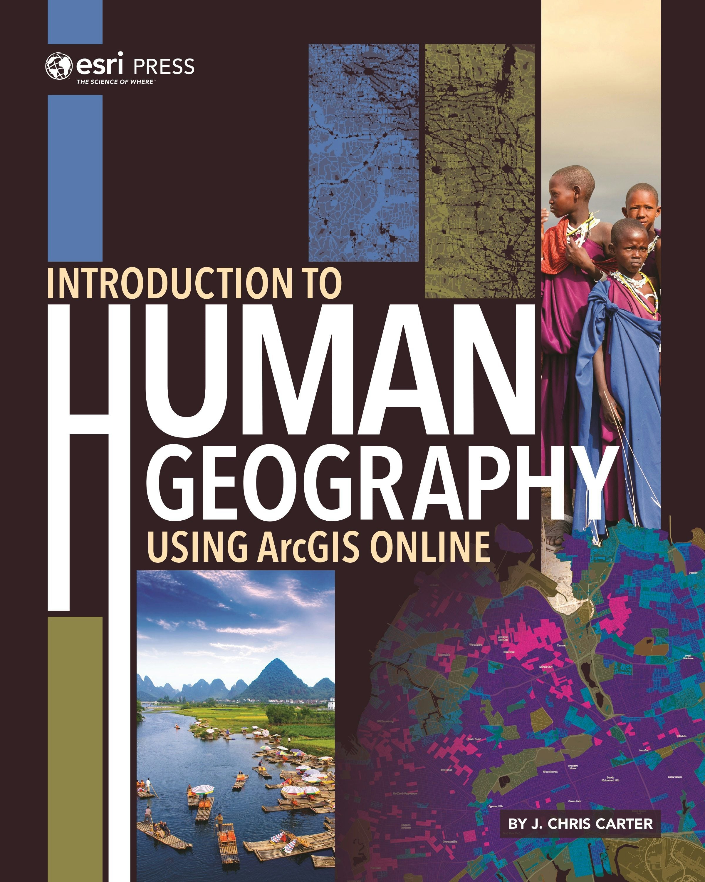
Introduction to human geography using arcgis online
Introduction to Human Geography Using ArcGIS Online covers major themes of human geography, including population and migration, economic activity, language and religion, and human impacts on the environment, using the dynamic service of ArcGIS Online.
Regular price $89.99Regular price $89.99 Sale price $89.99Unit price per -

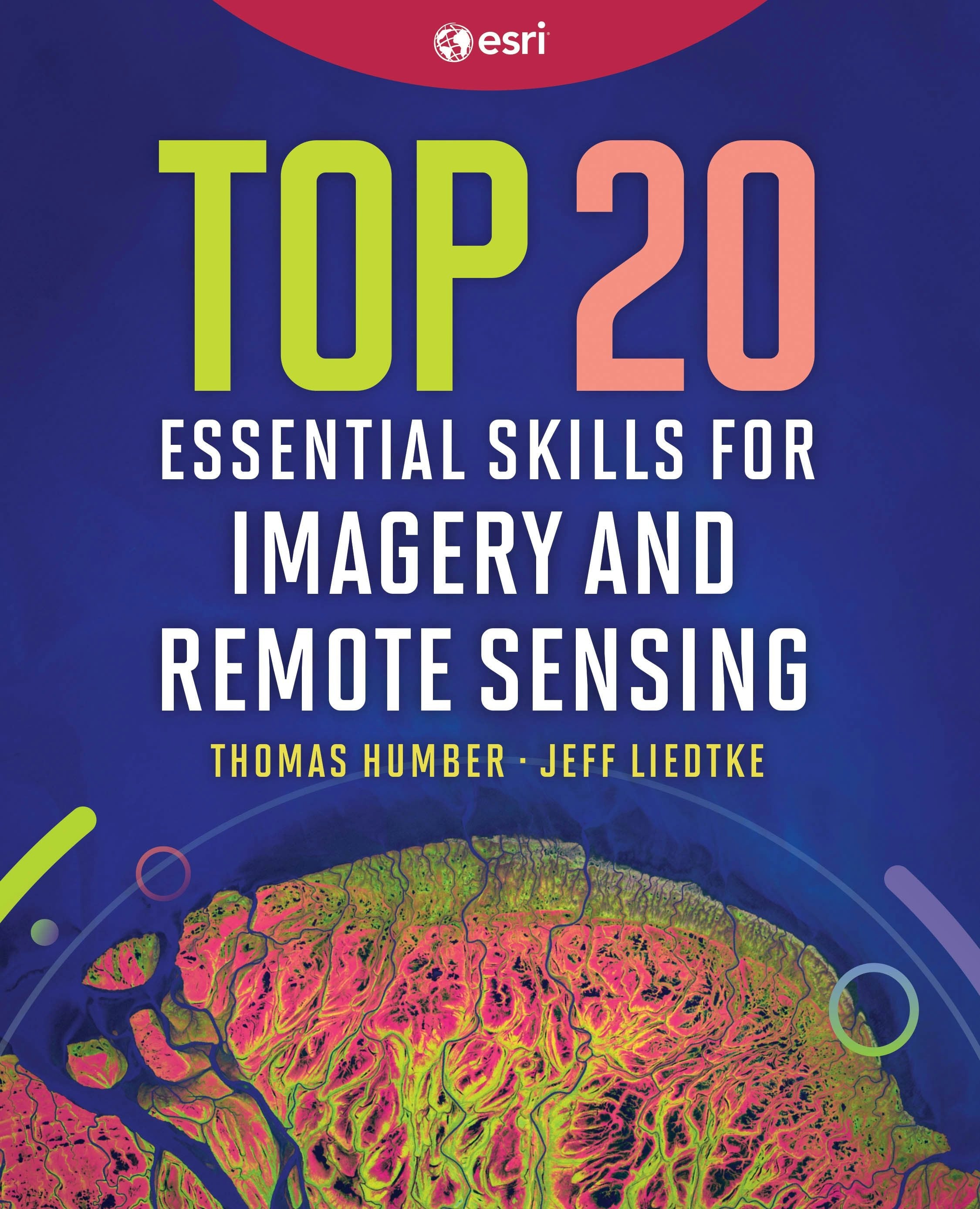
Top 20 essential skills for imagery and remote sensing
Top 20 Essential Skills for Imagery and Remote Sensing guides readers step-by-step through interpreting imagery, creating imagery products, and performing various imagery analysis workflows.
Regular price $79.99Regular price $79.99 Sale price $79.99Unit price per


