


Collection: Esri Press
Our mission is to inform, inspire, and teach professionals, students, educators, and the public about geographic information system (GIS) technology by developing print and digital publications. Our goal is to increase the adoption of ArcGIS and support the vision of Esri. We strive to be the leader in publishing great GIS books and we are dedicated to improving the work and lives of our global community of users, authors, and colleagues.

-

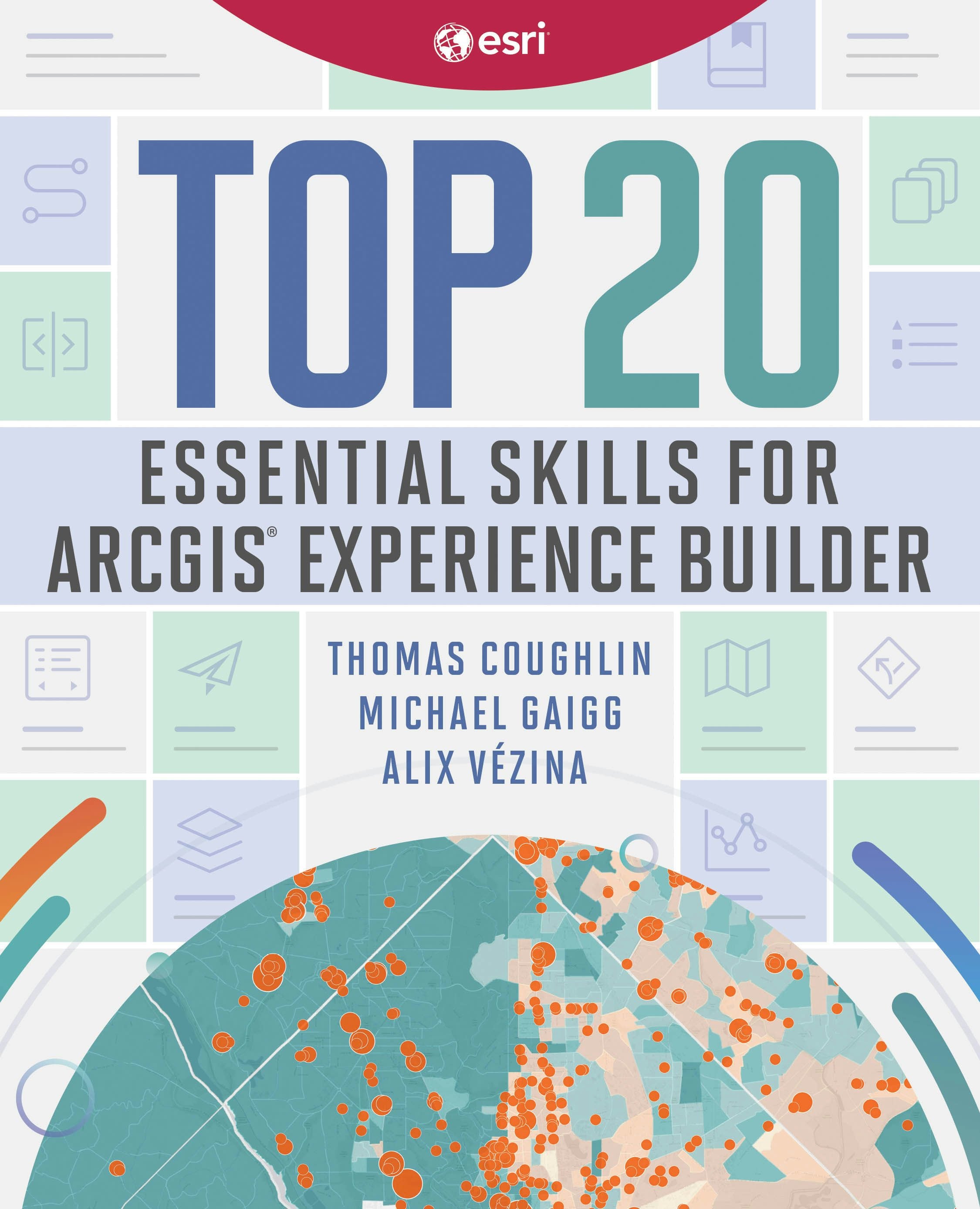
Top 20 essential skills for arcgis experience builder
Design and create visually stunning and highly functional map apps with Top 20 Essential Skills for ArcGIS Experience Builder.
Regular price $89.99Regular price $89.99 Sale price $89.99Unit price per -


Top 20 essential skills for arcgis business analyst
Top 20 Essential Skills for ArcGIS Business Analyst guides readers through fundamental and advanced workflows in both the web app and extension using 20 focused tutorials.
Regular price $59.99Regular price $0.00 Sale price $59.99Unit price per -

Getting to know arcgis enterprise
The first book from Esri Press about ArcGIS Enterprise, one of Esri’s most important technologies for keeping your organization agile, collaborative, and responsive.
Regular price $99.99Regular price $99.99 Sale price $99.99Unit price per -

Top 20 essential skills for arcgis utility network
Learn how to use ArcGIS Utility Network, the powerful software that handles the complexity of modern utility systems now and into the future.
Regular price $49.99Regular price $49.99 Sale price $49.99Unit price per -

Spatial statistics illustrated
With approachable explanations and uncomplicated drawings, Spatial Statistics Illustrated gives readers an accessible understanding of some of the most widely used spatial statistics methods.
Regular price $44.99Regular price $0.00 Sale price $44.99Unit price per -

Top 20 essential skills for arcgis online
Explore the endless possibilities of interactive web mapping with Top 20 Essential Skills for ArcGIS Online.
Regular price $49.99Regular price $49.99 Sale price $49.99Unit price per -

Exploring geoai
Learn the latest geospatial AI models and tools with comprehensive, hands-on tutorials with real-world datasets in the workbook Exploring GeoAI: Tools and Workflows.
Regular price $39.99Regular price $0.00 Sale price $39.99Unit price per -
Geoai
Discover how organizations are powering greater automation, prediction, and optimization with GeoAI.
Regular price $34.99Regular price $0.00 Sale price $34.99Unit price per -

Cartography.
Winner of the 2019 International Cartographic Conference – Educational Products award: A comprehensive, one-stop-shop cartography guide, Cartography. serves as a reference and an inspiration for anyone who is required to make a map, but it does so using a modern visual style.
Regular price $79.99Regular price $79.99 Sale price $79.99Unit price per -

Getting to know arcgis pro 3.6
Learn how to use ArcGIS Pro 3.6 with this best-selling, step-by-step workbook and desk reference.
Regular price $119.99Regular price $0.00 Sale price $119.99Unit price per -


Gis tutorial for arcgis pro 3.4
Jump into GIS with this popular hands-on textbook, written and updated for ArcGIS Pro 3.4.
Regular price $119.99Regular price $119.99 Sale price $119.99Unit price per -

Parcels
Parcels: How Property Shapes Geography is a clear‑eyed exploration of the land parcel and demonstrates how it serves as the critical link between people, data, and place.
Regular price $89.99Regular price $0.00 Sale price $89.99Unit price per -

Top 20 essential skills for arcgis pro
Top 20 Essential Skills for ArcGIS® Pro introduces the most important skills so you can get up and running with geographic information systems (GIS).
Regular price $49.99Regular price $0.00 Sale price $49.99Unit price per -

Python scripting for arcgis pro
Unlock the power of Python in ArcGIS Pro with Python Scripting for ArcGIS Pro, the definitive, easy-to-follow guide to writing Python code with spatial data in ArcGIS Pro.
Regular price $99.99Regular price $99.99 Sale price $99.99Unit price per -
Designing map interfaces
Designing Map Interfaces is the essential guide to designing map interfaces that are usable and efficient, and that look good in the process.
Regular price $44.99Regular price $44.99 Sale price $44.99Unit price per -
Designing better maps
Learn from the best to create successful maps using any GIS or illustration product with Designing Better Maps: A Guide for GIS Users, third edition, written by an expert cartographer.
Regular price $84.99Regular price $84.99 Sale price $84.99Unit price per -

Telling stories with maps
Bring place-based data to life with this essential guide to storytelling with maps, written by the founder of ArcGIS StoryMaps, Esri’s storytelling platform.
Regular price $44.99Regular price $44.99 Sale price $44.99Unit price per -

Fieldwork handbook
Fieldwork Handbook gives you tips, best practices and activities for using location intelligence in the field to make your work more productive and successful.
Regular price $39.99Regular price $39.99 Sale price $39.99Unit price per -


Getting to know arcgis pro 3.2
Getting to Know ArcGIS Pro 3.2 is a textbook and desk reference that shows readers how to build a geodatabase, use 3D GIS, create maps for presentations, and more.
Regular price $119.99Regular price $119.99 Sale price $119.99Unit price per -

Geowater
Geowater blends technical innovation with deeply human stories, for readers to understand, model, and manage one of Earth’s primary resources: water.
Regular price $54.99Regular price $0.00 Sale price $54.99Unit price per -
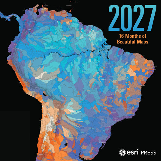
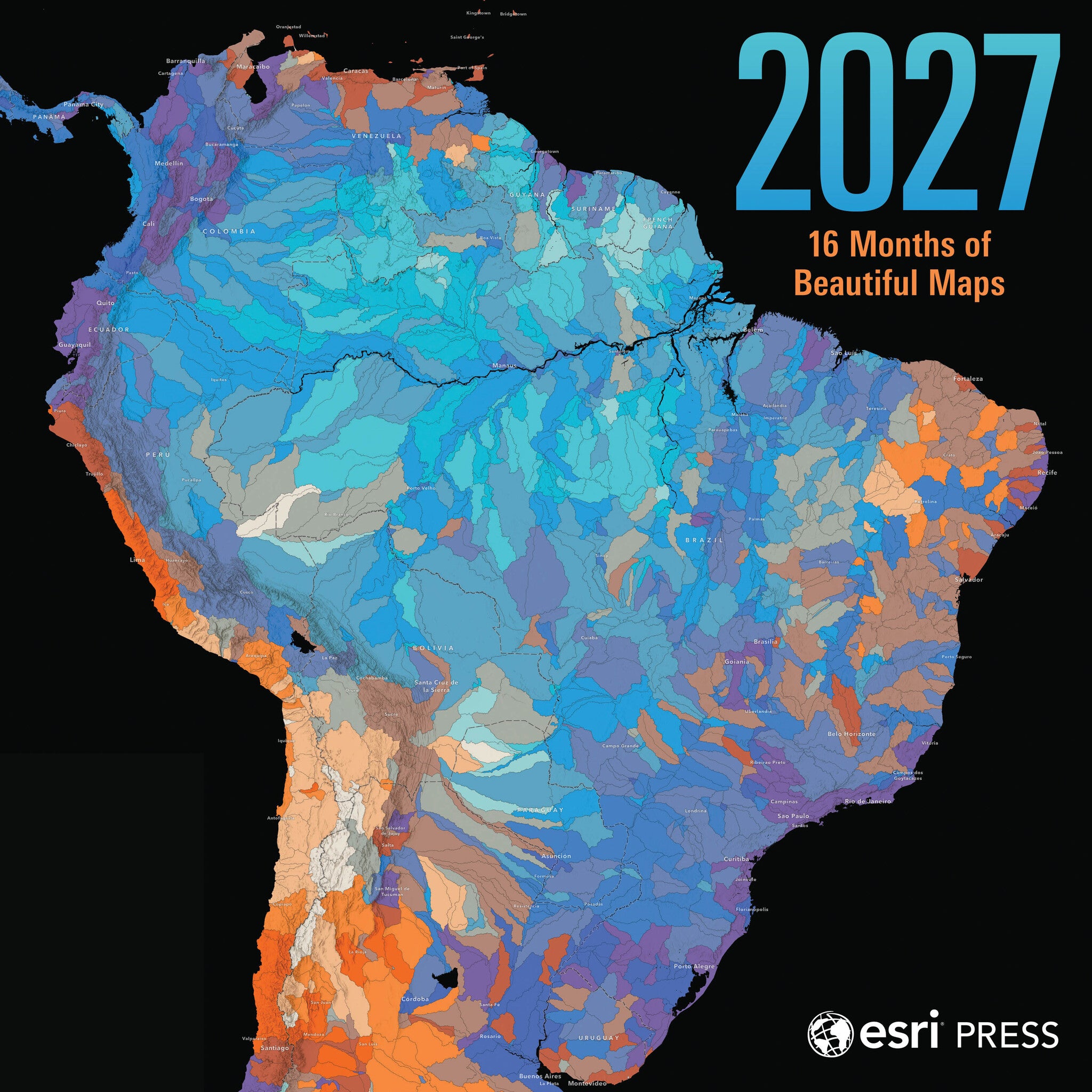
2027 esri press wall calendar
Discover the beauty of geography and maps with this 2027 wall calendar featuring visually captivating maps created by Esri, the global leader in geographic information systems (GIS) technology.
Regular price $19.99Regular price $0.00 Sale price $19.99Unit price per -
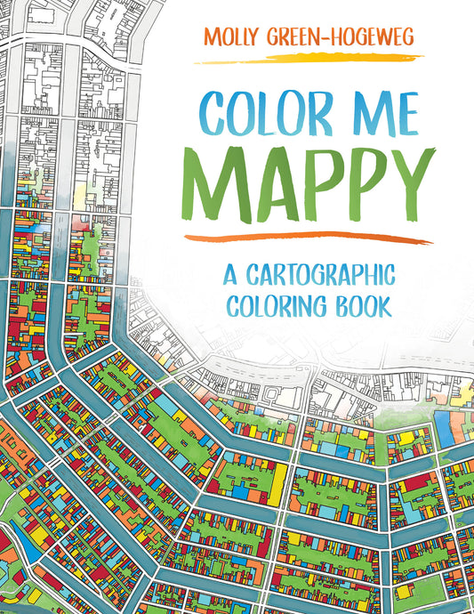
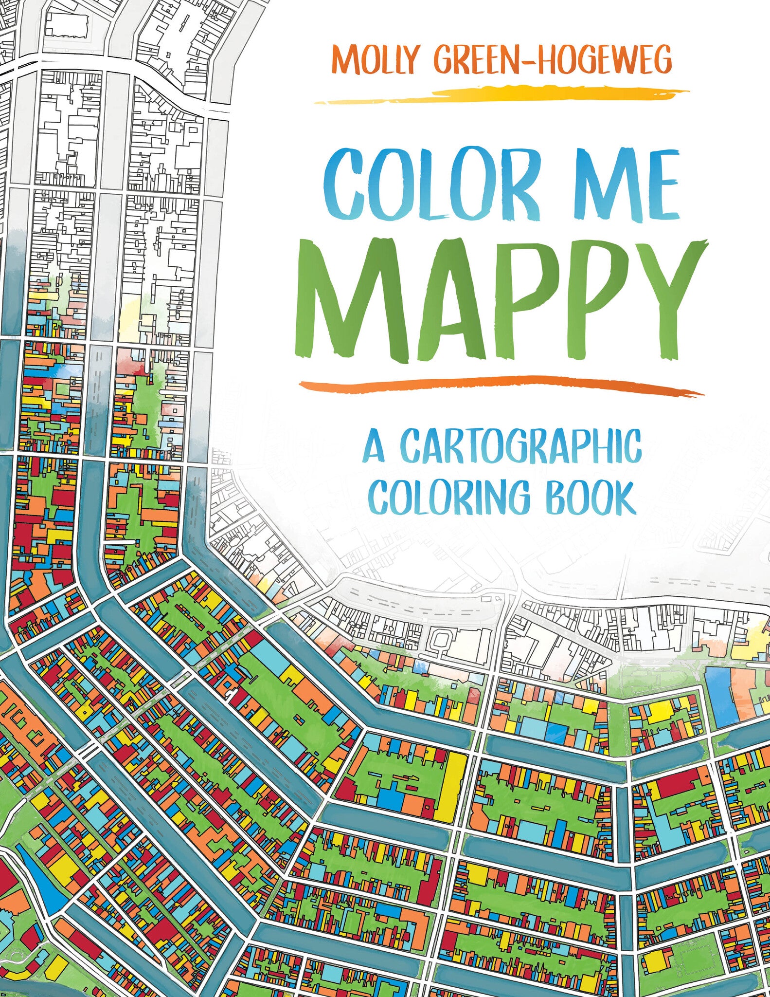
Color me mappy
Color Me Mappy combines the beauty of cartographic detail with the joy of creative exploration, inviting you to interact with maps in a tactile, hands‑on way.
Regular price $15.99Regular price $0.00 Sale price $15.99Unit price per -
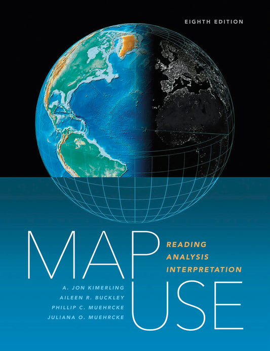
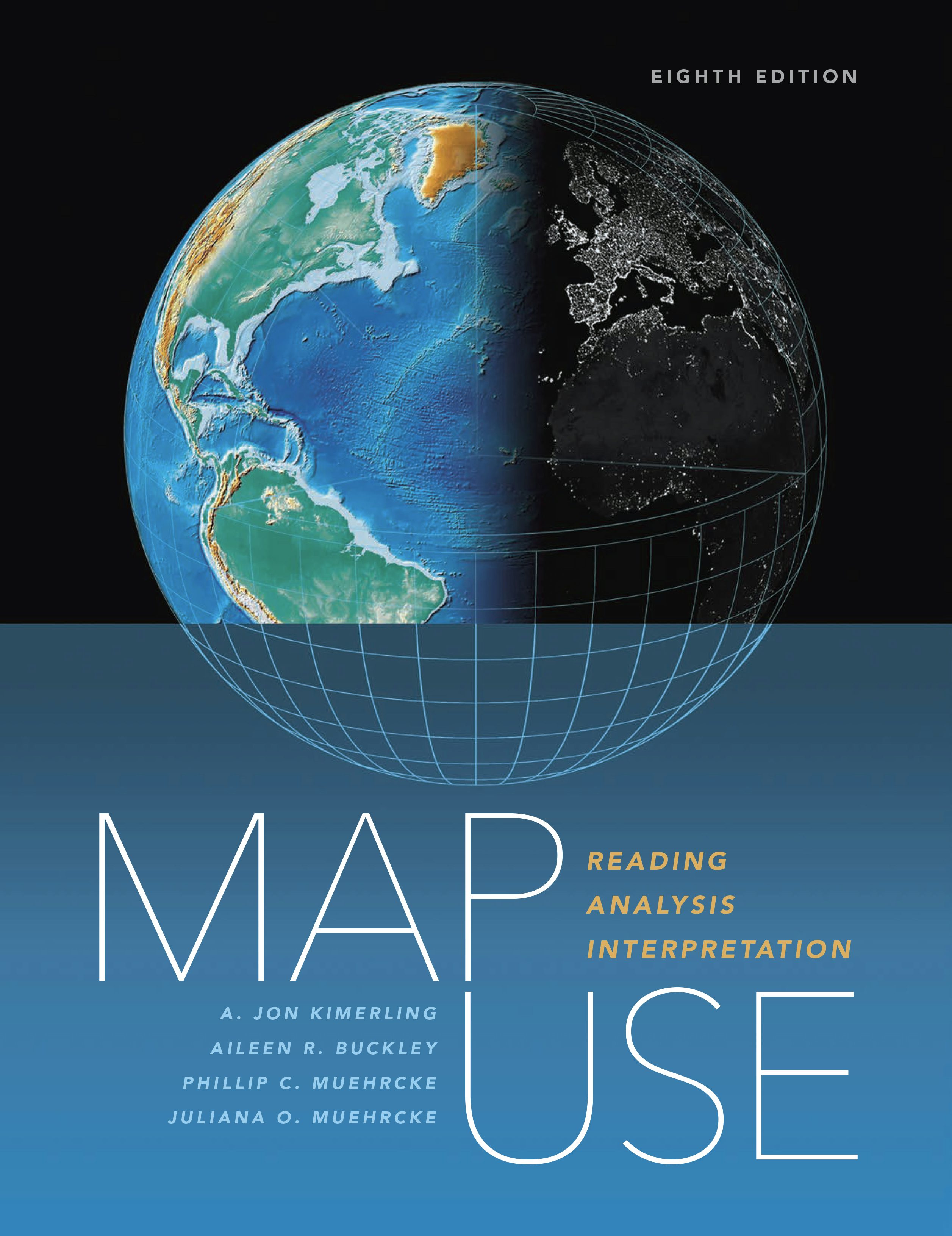
Map use
Classic cartographic textbook updated to reflect what's going on with cartography today. New information on designing web maps, using cartography-related web concepts, and updating data sources with imagery and remote sensing.
Regular price $159.99Regular price $159.99 Sale price $159.99Unit price per -


Tactile mapping
A collaboration by skilled professionals, domain experts, and people with visual impairments, Tactile Mapping offers fresh insights into map design to make maps more accessible for people with visual impairments.
Regular price $54.99Regular price $0.00 Sale price $54.99Unit price per -

Building a smarter community
Discover how GIS and location intelligence support state and local government decisions and civic inclusion in Building a Smarter Community: GIS for State and Local Government.
Regular price $23.99Regular price $23.99 Sale price $23.99Unit price per -

Moving forward
Discover how GIS and location intelligence are helping transportation organizations strengthen their vital infrastructures with Moving Forward: Applying GIS for Transportation.
Regular price $23.99Regular price $0.00 Sale price $23.99Unit price per -

Security first
Security First: Geospatial Workflows for a Safe and Equitable World shows readers how to use geospatial tools and data to analyze complex issues.
Regular price $89.99Regular price $89.99 Sale price $89.99Unit price per -

Advanced python scripting for arcgis pro
Tackle complex spatial data tasks effortlessly with this easy-to-follow guide to writing specialized Python scripts and developing tools for spatial data in ArcGIS Pro.
Regular price $89.99Regular price $89.99 Sale price $89.99Unit price per -

A to z gis
Newly updated and expanded, A to Z GIS: An Illustrated Dictionary of Geographic Information Systems (GIS) is a comprehensive reference for anyone discovering the interdisciplinary nature of GIS.
Regular price $34.99Regular price $34.99 Sale price $34.99Unit price per -
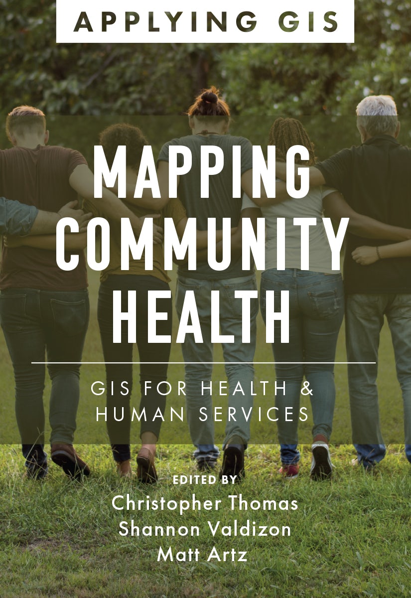
Mapping community health
Mapping Community Health: GIS for Health and Human Services explores a collection of real-life case studies about using geographic information system (GIS) technology to help build communities that improve health outcomes and increase accessibility to health care. The book also includes a “next s...
Read MoreRegular price $23.99Regular price $23.99 Sale price $23.99Unit price per -

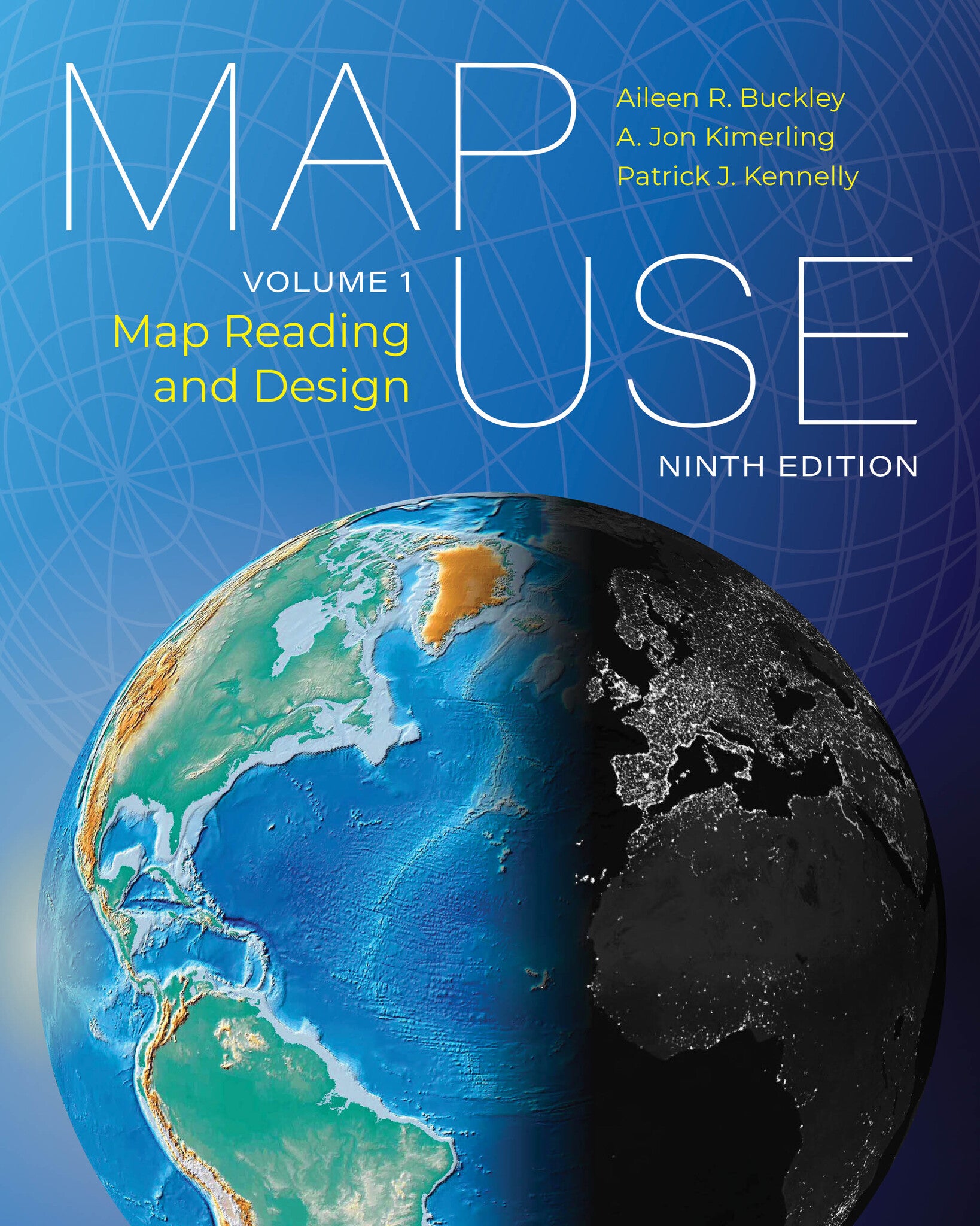
Map use
Learn the most critical concepts for map comprehension and creation with an updated, focused edition of Map Use: Map Reading and Design, Volume 1, ninth edition.
Regular price $95.99Regular price $0.00 Sale price $95.99Unit price per -

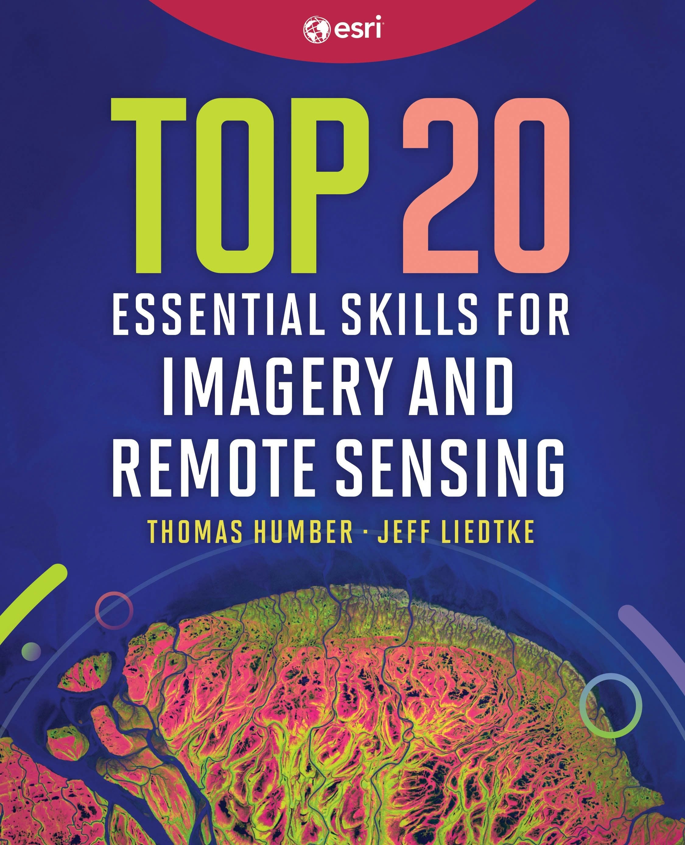
Top 20 essential skills for imagery and remote sensing
Top 20 Essential Skills for Imagery and Remote Sensing guides readers step-by-step through interpreting imagery, creating imagery products, and performing various imagery analysis workflows.
Regular price $79.99Regular price $79.99 Sale price $79.99Unit price per -
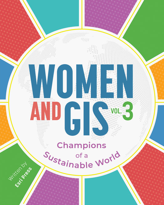

Women and gis, volume 3
Women and GIS, Volume 3: Champions of a Sustainable World shares impressive stories of women using geospatial technology to create sustainable solutions for problems the world faces. These thirty-one strong, persevering women from around the globe will inspire readers to achieve amazing accomplis...
Read MoreRegular price $44.99Regular price $44.99 Sale price $44.99Unit price per -

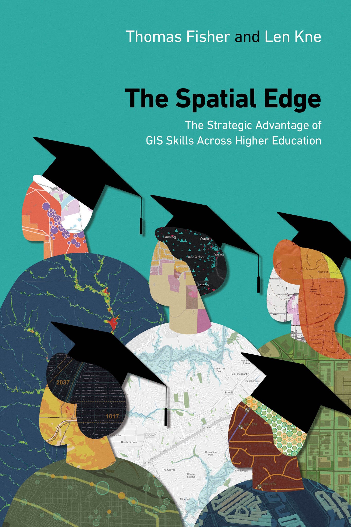
The spatial edge
Bring your campus together academically and operationally with The Spatial Edge: The Strategic Advantage of GIS Skills Across Higher Education.
Regular price $24.99Regular price $0.00 Sale price $24.99Unit price per -

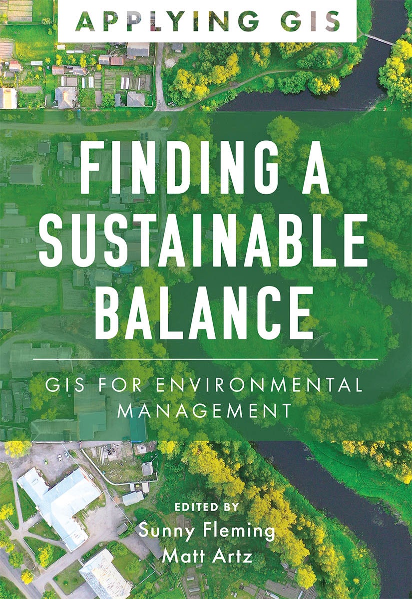
Finding a sustainable balance
Finding a Sustainable Balance: GIS for Environmental Management explores a collection of real-life stories about how environmental and natural resource management organizations successfully use GIS.
Regular price $23.99Regular price $23.99 Sale price $23.99Unit price per -
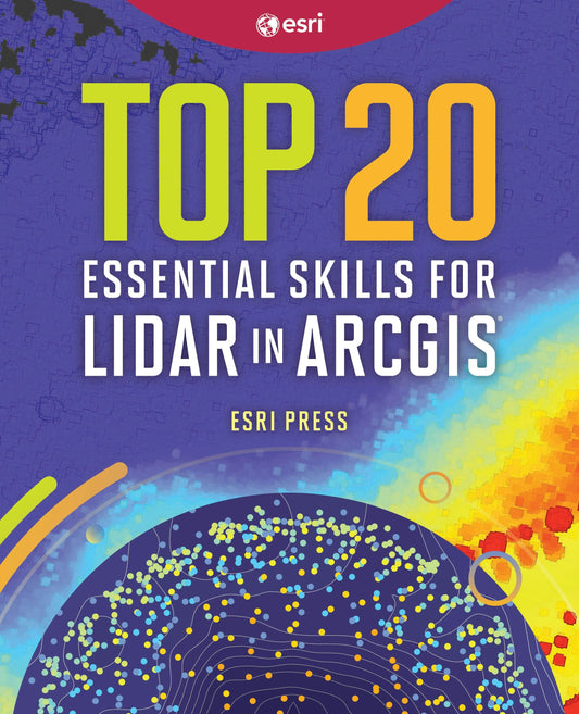
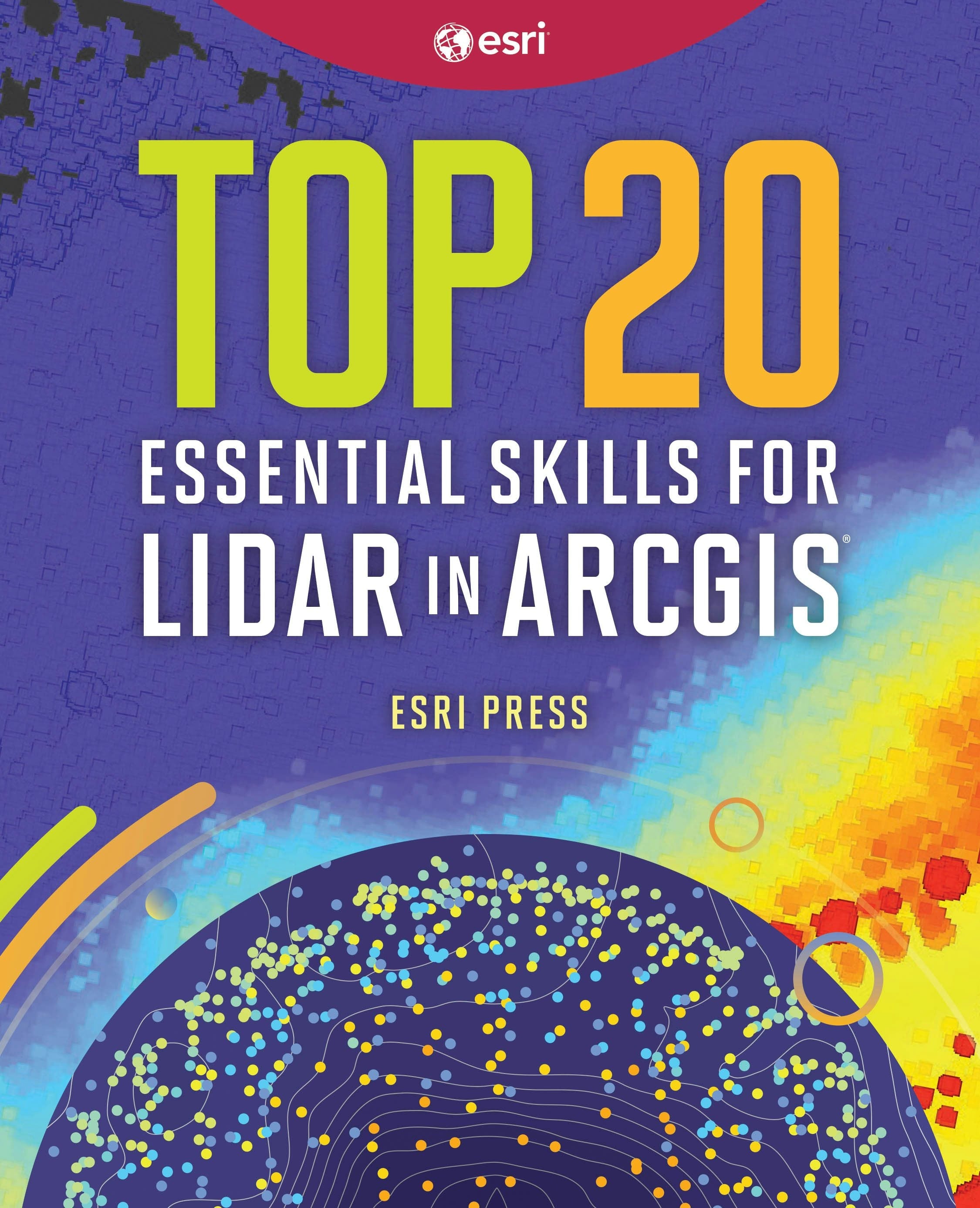
Top 20 essential skills for lidar in arcgis
With 20 step-by-step tutorials, Top 20 Essential Skills for Lidar helps you understand, manage, analyze, and create immersive 3D products using lidar data.
Regular price $59.99Regular price $59.99 Sale price $59.99Unit price per -
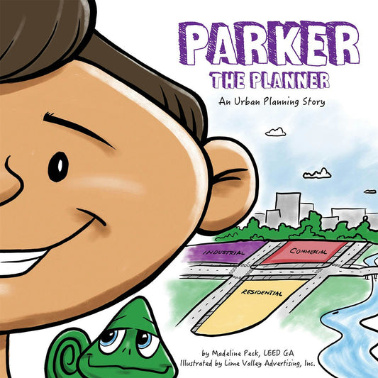

Parker the planner
Parker has a plan to build his own city—with parks, zoos, transportation, environmental benefits, and more. Part of a STEAM career-themed picture book series.
Regular price $9.99Regular price $9.99 Sale price $9.99Unit price per -

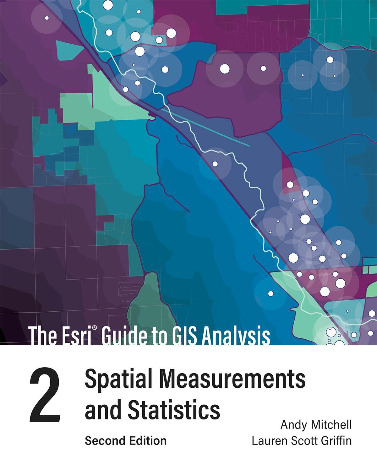
The esri guide to gis analysis, volume 2
See why you don't need to understand complex mathematical theories to apply statistical tools in your GIS projects in The Esri Guide to GIS Analysis, Volume 2: Spatial Measurements and Statistics.
Regular price $59.99Regular price $59.99 Sale price $59.99Unit price per -

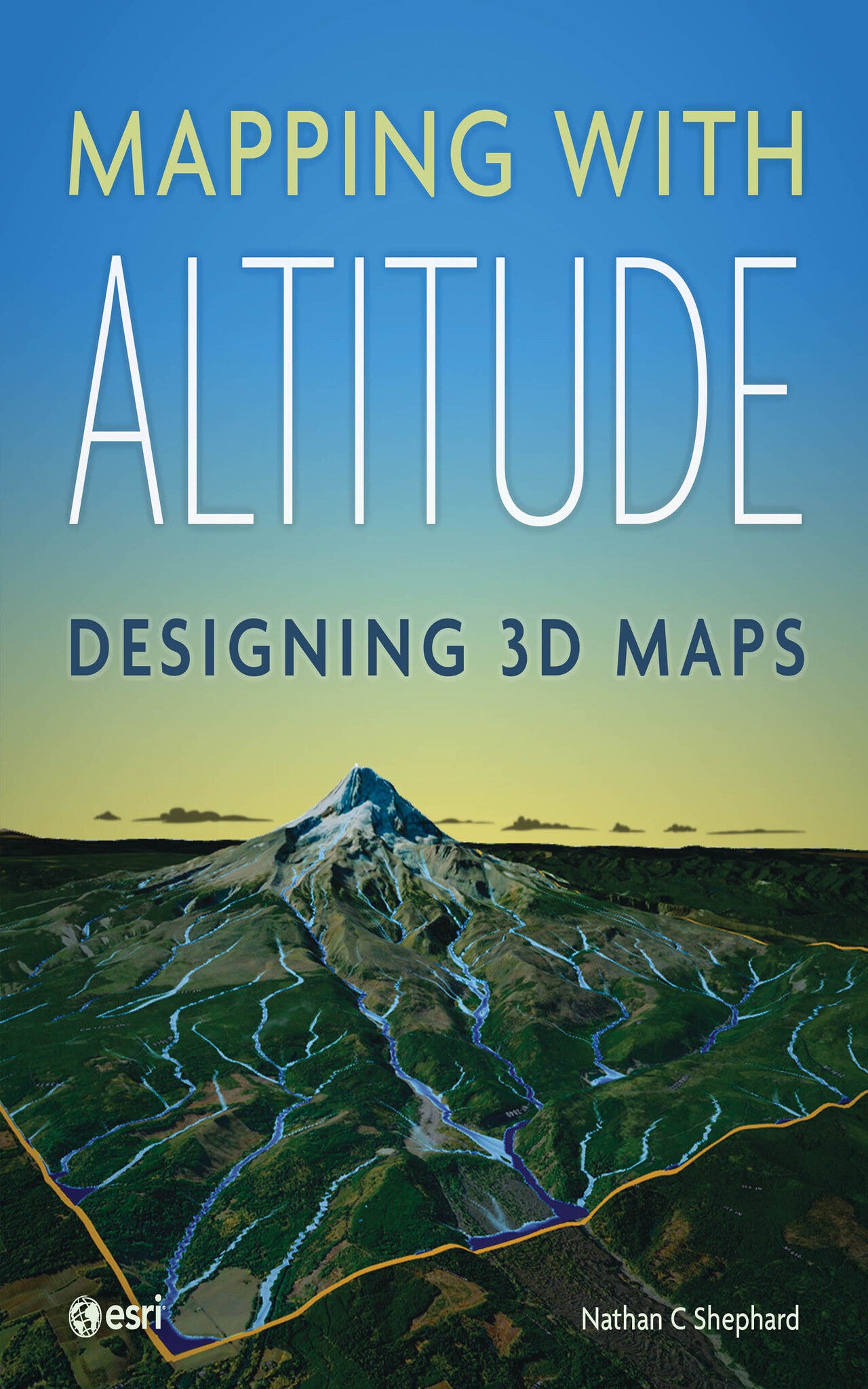
Mapping with altitude
Use Mapping with Altitude: Designing 3D Maps to deliver clear, compelling cartographic representations in 3D that are both eye-catching and informative.
Regular price $84.99Regular price $0.00 Sale price $84.99Unit price per -
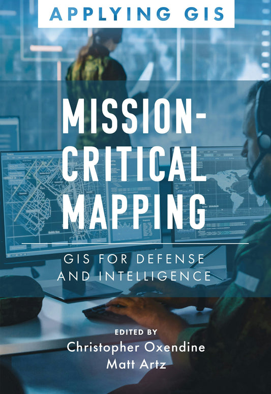

Mission-critical mapping
Mission-Critical Mapping: GIS for Defense and Intelligence explores how defense and intelligence organizations successfully use GIS to manage their high-stakes work.
Regular price $23.99Regular price $23.99 Sale price $23.99Unit price per -

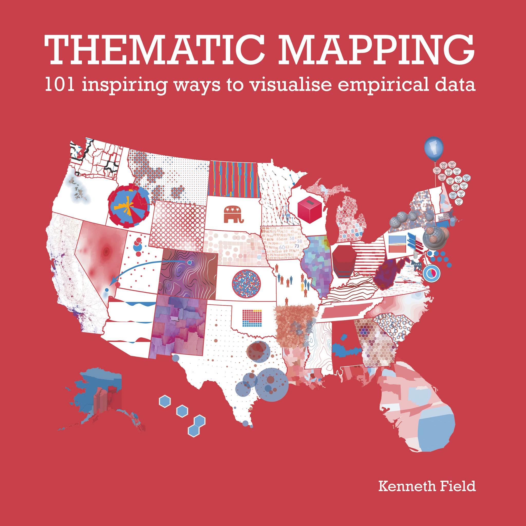
Thematic mapping
Thematic Mapping: 101 Inspiring Ways to Visualise Empirical Data explores the rich diversity of thematic mapping using a single dataset from the 2016 US presidential election.
Regular price $71.99Regular price $0.00 Sale price $71.99Unit price per -
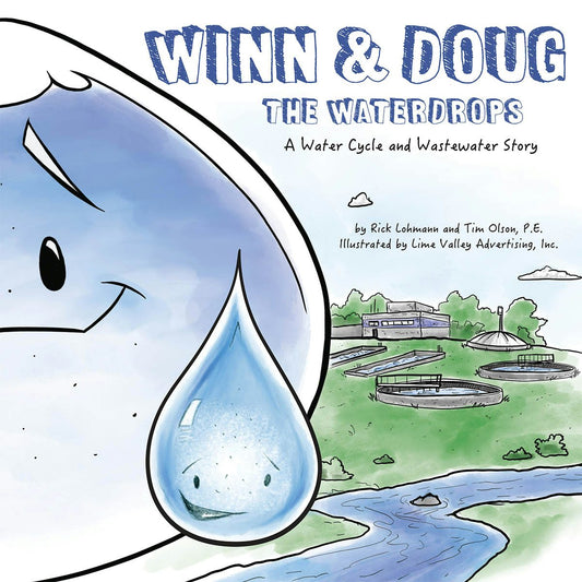
Winn and doug the waterdrops
Follow Winn and Doug on the incredible journey of water—through the water cycle all the way to wastewater treatment and back again. Part of a STEAM career-themed picture book series.
Regular price $19.99Regular price $19.99 Sale price $19.99Unit price per -
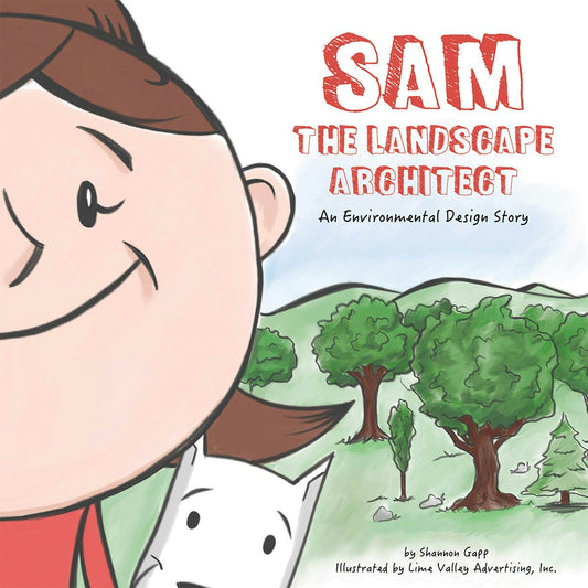

Sam the landscape architect
Sam loves to design things! She plans to be a landscape architect. Follow along as she designs parks, gardens, and more to improve her community. Part of a STEAM career-themed picture book series.
Regular price $9.99Regular price $9.99 Sale price $9.99Unit price per -
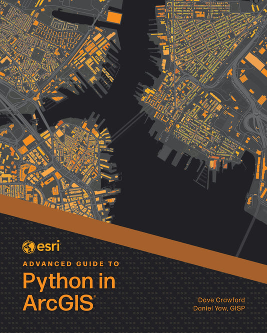

Esri advanced guide to python in arcgis
Esri Advanced Guide to Python in ArcGIS uses concise chapters and straightforward tutorials so experienced GIS professionals can learn and immediately apply complex Python skills and techniques.
Regular price $89.99Regular price $89.99 Sale price $89.99Unit price per -
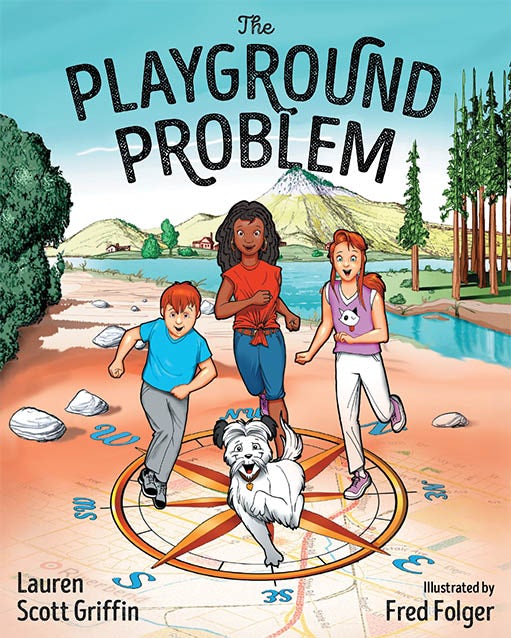

The playground problem
Using a colorful, entertaining, easy-to-follow story with fun in-book activities, The Playground Problem teaches young readers basic mapping and other skills involving geography and spatial patterns.
Regular price $17.99Regular price $17.99 Sale price $17.99Unit price per -
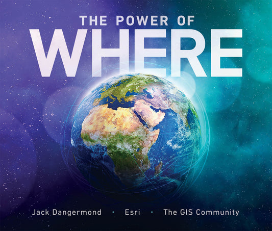

The power of where
Join the global geospatial community on a visual and narrative journey into how the geographic approach addresses humanity’s big challenges.
Regular price $59.99Regular price $0.00 Sale price $59.99Unit price per -
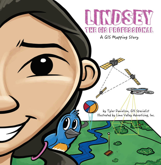
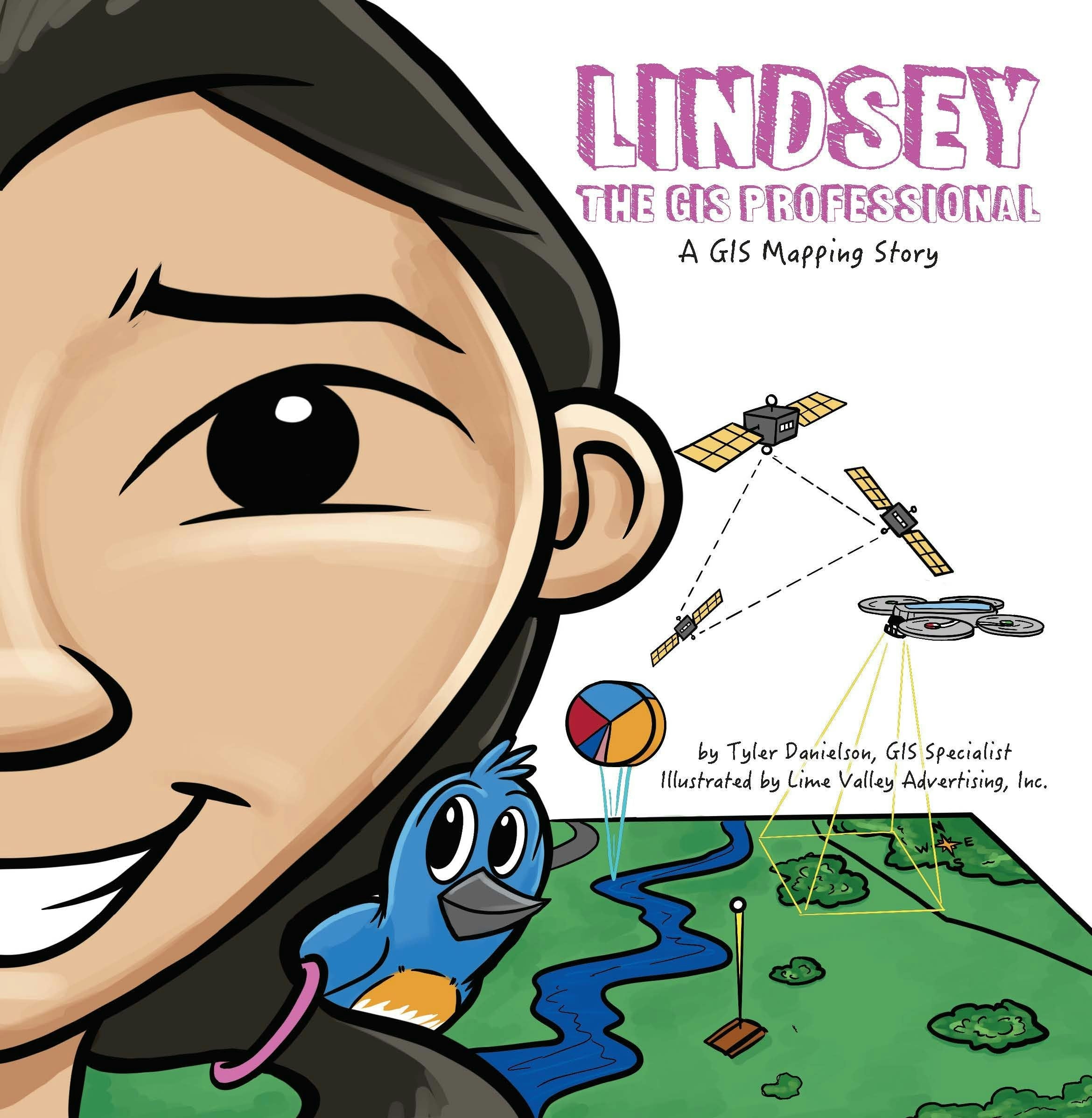
Lindsey the gis professional
Lindsey loves mapping! Follow along as she collects information about the world around her to make a map of her favorite park. First in a STEAM career-themed picture book series.
Regular price $9.99Regular price $9.99 Sale price $9.99Unit price per -


Will the civil engineer
Follow along as Will learns about how everything that is built has an engineer and how he can be one, too! Part of a STEAM career-themed picture book series.
Regular price $9.99Regular price $9.99 Sale price $9.99Unit price per -


Cartographies of disease
Cartographies of Disease: Maps, Mapping, and Medicine, new expanded edition, is a comprehensive survey of the technology of mapping and its relationship to the battle against disease.
Regular price $23.99Regular price $23.99 Sale price $23.99Unit price per -


Understanding crime
Understanding Crime: Analyzing the Geography of Crime is the principal book for fully explaining how to use both theory and technique to study the geographic analysis of crime.
Regular price $95.99Regular price $95.99 Sale price $95.99Unit price per -

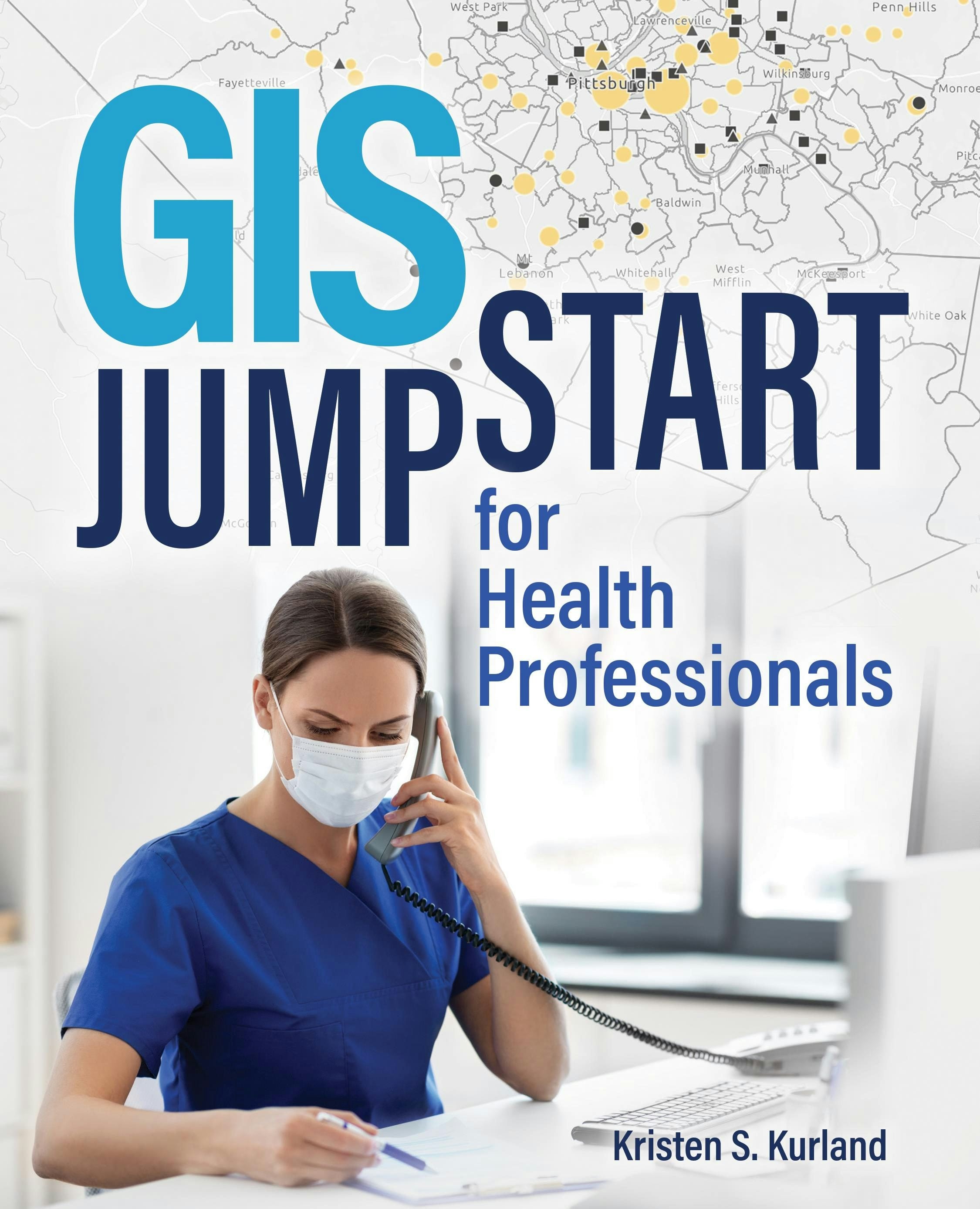
Gis jump start for health professionals
Now, more than ever, professionals can benefit from the power of location data, maps, and analytics in healthcare with this concise and focused workbook.
Regular price $47.99Regular price $47.99 Sale price $47.99Unit price per -

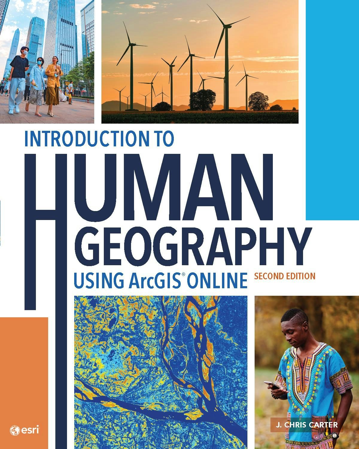
Introduction to human geography using arcgis online
Introduction to Human Geography Using ArcGIS Online, second edition, uses live geospatial data and web-based technology to teach the diversity of people in their environments and their global impact.
Regular price $99.99Regular price $99.99 Sale price $99.99Unit price per -

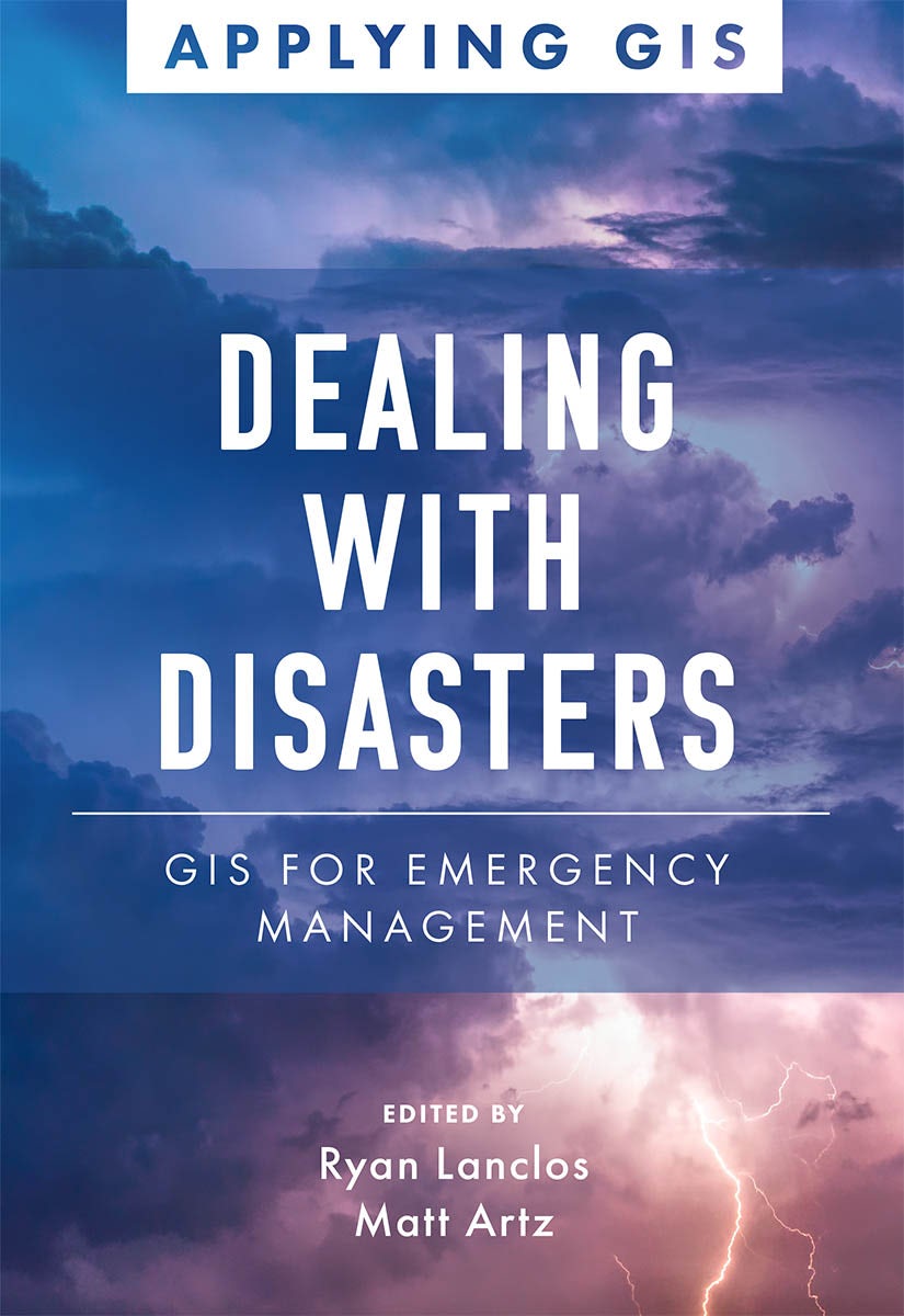
Dealing with disasters
Discover a modern approach using geographic information systems (GIS) to understand threats and hazards to communities with Dealing with Disasters: GIS for Emergency Management.
Regular price $23.99Regular price $23.99 Sale price $23.99Unit price per -

Getting to know web gis
Get the latest information about online GIS using ArcGIS® apps and functionality with Getting to Know Web GIS, fifth edition.
Regular price $129.99Regular price $129.99 Sale price $129.99Unit price per -

Valuing place and purpose
Valuing Place and Purpose: GIS for Land Administration shows how GIS is used to visualize, analyze, and administer land and property information, define acceptable use, conserve vulnerable landscapes, and protect disadvantaged communities and indigenous people.
Regular price $23.99Regular price $23.99 Sale price $23.99Unit price per -

Leading with data
Leading with Data: A Police Commander’s Guide to GIS & Crime Analysis is the essential text for commanders to use spatial analysis to lead effectively and meet their agency’s goals.
Regular price $79.99Regular price $0.00 Sale price $79.99Unit price per -

Women and gis
Women greatly enrich science, leading research and directing decisions across myriad applications. Women and GIS: Mapping Their Stories reveals how ordinary girls become extraordinary women, overcoming obstacles to make significant global contributions.
Regular price $17.99Regular price $0.00 Sale price $17.99Unit price per -

Gis for science, volume 1
See how scientists working on the world's most pressing problems apply geographic information systems—GIS.
Regular price $47.99Regular price $47.99 Sale price $47.99Unit price per -
Mapping by design
Mapping by Design: A Guide to ArcGIS Maps for Adobe Creative Cloud serves as a practical guide for all mapmakers who want to create compelling maps using Adobe® Illustrator®.
Regular price $71.99Regular price $71.99 Sale price $71.99Unit price per -

Prepare, respond, renew
Prepare, Respond, Renew: GIS for Wildland Fire explores a collection of real-life stories about wildland fire agencies successfully using GIS for preparedness, mitigation, response, and recovery and rehabilitation workflows.
Regular price $23.99Regular price $23.99 Sale price $23.99Unit price per -

Mapping the nation
An annual compilation of inspiring stories of government GIS work, Mapping the Nation: Navigating Complex Challenges focuses on how organizations are addressing challenges in their industry.
Regular price $23.99Regular price $23.99 Sale price $23.99Unit price per -

The arcgis imagery book
A conceptual introduction and practical primer to the application of imagery and remote sensing data in GIS (geographic information systems).
Regular price $23.99Regular price $23.99 Sale price $23.99Unit price per -
Semiology of graphics
Originally published in French in 1967, Semiology of Graphics holds a significant place in the theory of information design. Founded on Jacques Bertin’s practical experience as a cartographer, Part One of this work is an unprecedented attempt to synthesize principles of graphic communication with...
Read MoreRegular price $99.99Regular price $0.00 Sale price $99.99Unit price per -
Top 20 essential skills for python in arcgis
Top 20 Essential Skills for Python in ArcGIS® guides you through the basics of Python and developing solutions to enhance your geospatial workflows.
Regular price $49.99Regular price $49.99 Sale price $49.99Unit price per -

Local voices, local choices
Local Voices, Local Choices: The Tacare Approach to Community-Led Conservation chronicles the stories behind Jane Goodall’s holistic approach to conservation in Africa.
Regular price $36.99Regular price $0.00 Sale price $36.99Unit price per -
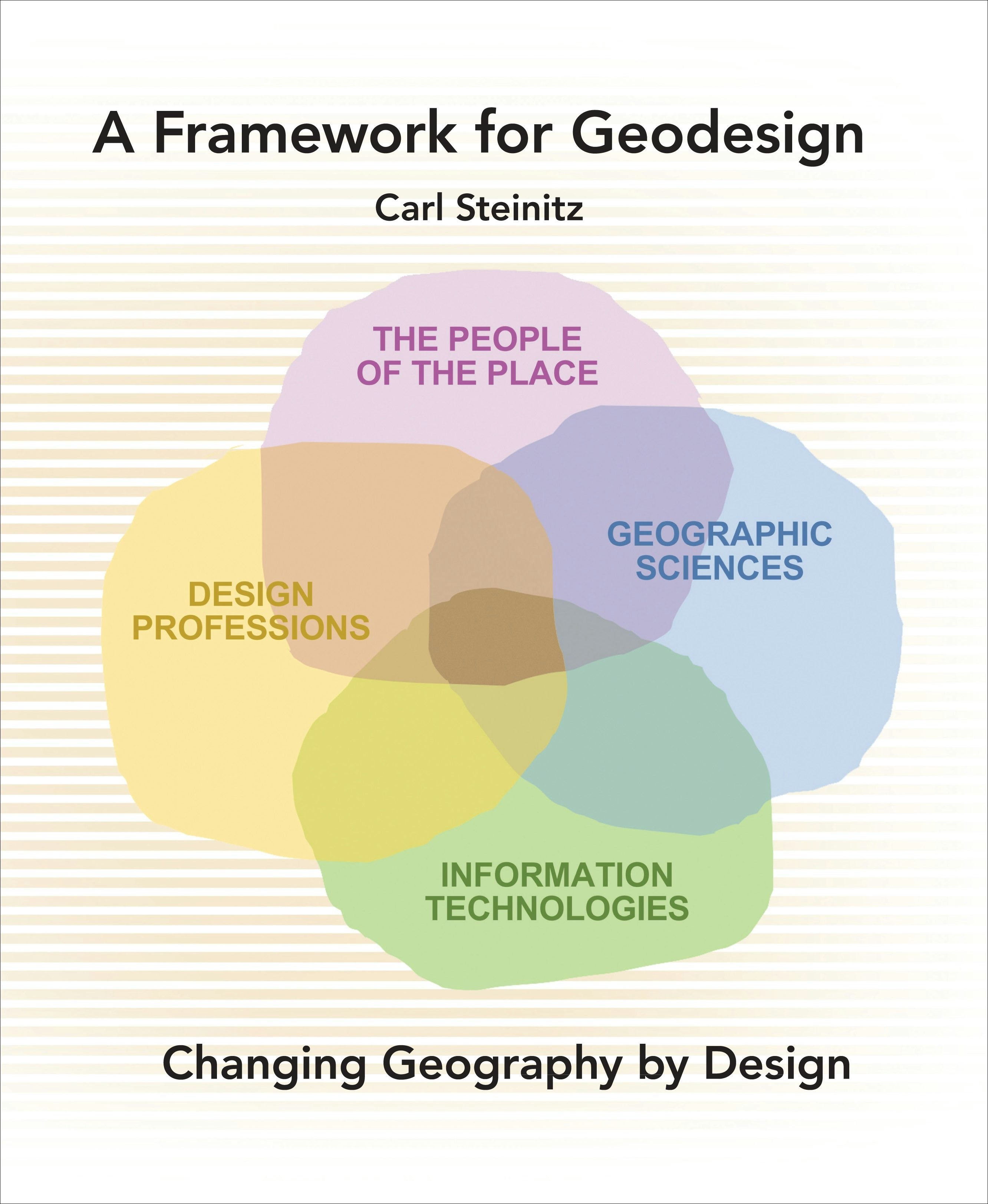
A framework for geodesign
A Framework for Geodesign: Changing Geography by Design presents the key concepts, history, and methodology of geodesign. As an idea, geodesign has the potential to enable more effective and symbiotic collaboration among the several design professions, geographically-oriented sciences, informatio...
Read MoreRegular price $95.99Regular price $95.99 Sale price $95.99Unit price per -

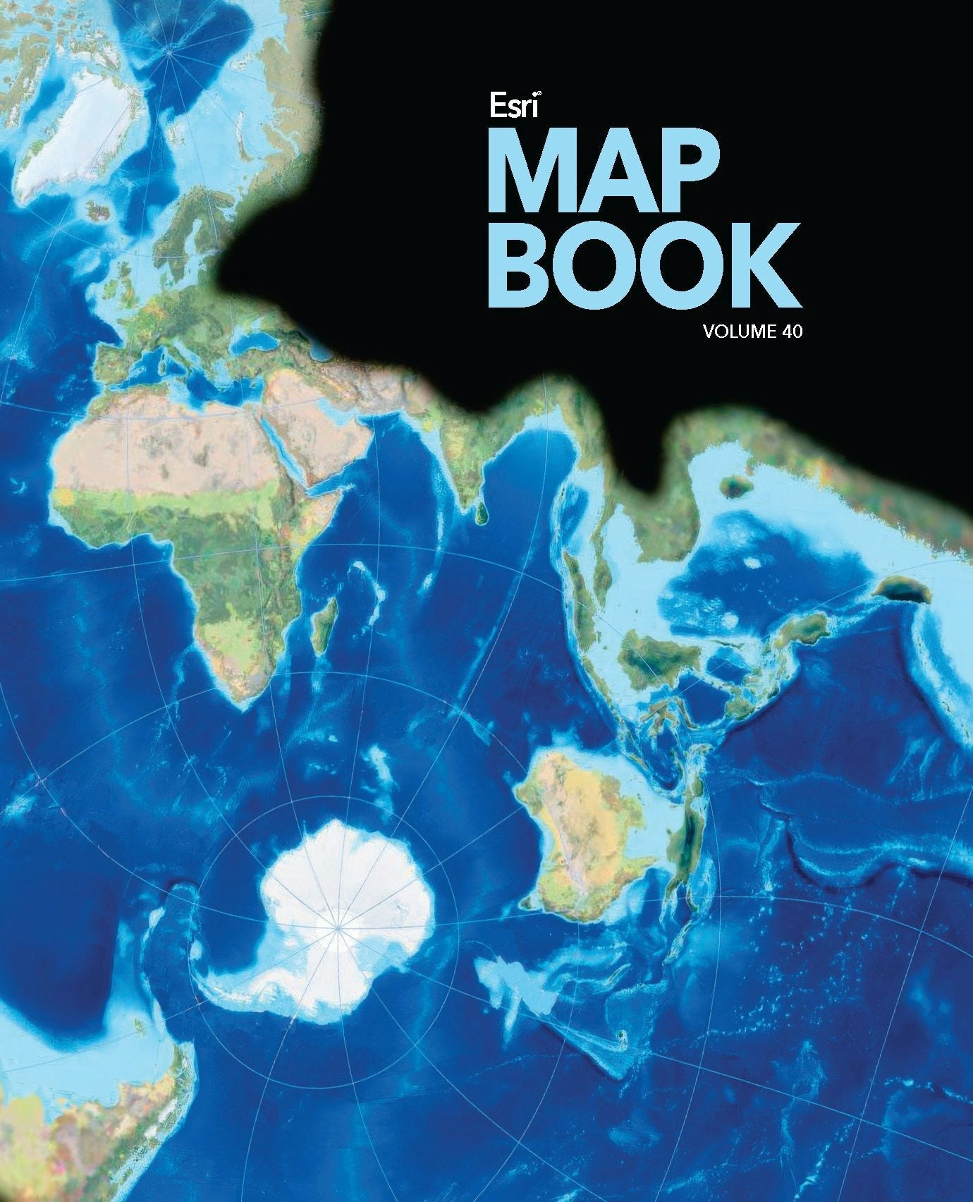
Esri map book, volume 40
Every year, works of mapmakers from around the world are selected for the Esri Map Book to demonstrate how geographic information system (GIS) technology helps our governments, businesses, and citizens.Esri Map Book, Volume 40, continues this tradition, showcasing maps and applications that use E...
Read MoreRegular price $29.99Regular price $29.99 Sale price $29.99Unit price per -
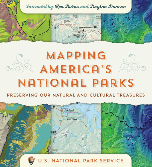
Mapping america's national parks
Go behind the scenes at the National Park Service to see how maps are used to manage and sustain our national parks in Mapping America’s National Parks: Preserving Our Natural and Cultural Treasures.
Regular price $39.99Regular price $39.99 Sale price $39.99Unit price per -

Smarter government
This is the new way of governing. The time has come for the rise of the tech savvy executive: an individual who innately understands the need to help the use of technology rise at the same level across the entire organization. In Baltimore and in Maryland, Governor Martin O’Malley has done all ...
Read MoreRegular price $29.99Regular price $0.00 Sale price $29.99Unit price per -

The locators
Discover the unknown in this thrilling adventure that has readers solving real-world problems! Help The Locators—using maps and clues—as they explore Oceania on an important mission.
Regular price $19.99Regular price $19.99 Sale price $19.99Unit price per -
Gis and cartographic modeling
GIS and Cartographic Modeling is a foundational work in the field of geographic information systems (GIS). An introduction to the concepts, conventions, and capabilities of map algebra as a general language, this book describes the analytical use of raster-based GIS.
Regular price $71.99Regular price $71.99 Sale price $71.99Unit price per


